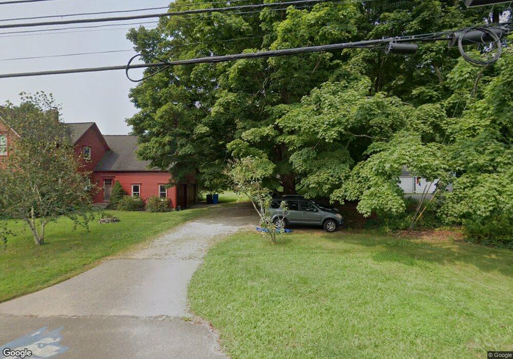
99 Glenwood Rd Clinton, CT 06413
Estimated Value: $422,145 - $506,000
3
Beds
2
Baths
1,728
Sq Ft
$275/Sq Ft
Est. Value
About This Home
This home is located at 99 Glenwood Rd, Clinton, CT 06413 and is currently estimated at $475,036, approximately $274 per square foot. 99 Glenwood Rd is a home located in Middlesex County with nearby schools including Lewin G. Joel Jr. School and The Morgan School.
Ownership History
Date
Name
Owned For
Owner Type
Purchase Details
Closed on
Dec 7, 2020
Sold by
King Steven C and King Amy M
Bought by
King Amy M
Current Estimated Value
Home Financials for this Owner
Home Financials are based on the most recent Mortgage that was taken out on this home.
Original Mortgage
$207,700
Outstanding Balance
$150,769
Interest Rate
2.7%
Mortgage Type
Balloon
Estimated Equity
$324,267
Purchase Details
Closed on
Dec 22, 1999
Sold by
Pucillo Michael F and Pucillo Heather A
Bought by
King Steven C and King Amy M
Home Financials for this Owner
Home Financials are based on the most recent Mortgage that was taken out on this home.
Original Mortgage
$144,000
Interest Rate
7.38%
Purchase Details
Closed on
Oct 25, 1996
Sold by
Keyes John J and Keyes Miriam E
Bought by
Pucillo Michael F and Pucillo Heather A
Create a Home Valuation Report for This Property
The Home Valuation Report is an in-depth analysis detailing your home's value as well as a comparison with similar homes in the area
Home Values in the Area
Average Home Value in this Area
Purchase History
| Date | Buyer | Sale Price | Title Company |
|---|---|---|---|
| King Amy M | -- | None Available | |
| King Amy M | -- | None Available | |
| King Steven C | $166,000 | -- | |
| King Steven C | $166,000 | -- | |
| Pucillo Michael F | $140,000 | -- | |
| Pucillo Michael F | $140,000 | -- |
Source: Public Records
Mortgage History
| Date | Status | Borrower | Loan Amount |
|---|---|---|---|
| Open | King Amy M | $207,700 | |
| Previous Owner | Pucillo Michael F | $243,396 | |
| Previous Owner | Pucillo Michael F | $142,700 | |
| Previous Owner | Pucillo Michael F | $144,000 |
Source: Public Records
Tax History Compared to Growth
Tax History
| Year | Tax Paid | Tax Assessment Tax Assessment Total Assessment is a certain percentage of the fair market value that is determined by local assessors to be the total taxable value of land and additions on the property. | Land | Improvement |
|---|---|---|---|---|
| 2025 | $5,375 | $172,600 | $64,200 | $108,400 |
| 2024 | $5,223 | $172,600 | $64,200 | $108,400 |
| 2023 | $5,149 | $172,600 | $64,200 | $108,400 |
| 2022 | $5,149 | $172,600 | $64,200 | $108,400 |
| 2021 | $4,850 | $162,600 | $64,200 | $98,400 |
| 2020 | $5,081 | $162,600 | $64,200 | $98,400 |
| 2019 | $5,081 | $162,600 | $64,200 | $98,400 |
| 2018 | $4,966 | $162,600 | $64,200 | $98,400 |
| 2017 | $4,863 | $162,600 | $64,200 | $98,400 |
| 2016 | $4,413 | $162,600 | $64,200 | $98,400 |
| 2015 | $5,151 | $192,400 | $71,400 | $121,000 |
| 2014 | $5,054 | $192,400 | $71,400 | $121,000 |
Source: Public Records
Map
Nearby Homes
- 0 Fairy Dell Rd
- 76 Fairy Dell Rd
- 15 Alden Dr
- 135 Liberty St Unit 135
- 148 Glenwood Rd
- 7 Rocky Ledge Dr
- 72 Long Hill Rd
- 82 N High St
- 7 Tamarack Dr
- 32 Cream Pot Rd
- 26 Longate Rd
- Lot 4 Killingworth Turnpike
- 52 High St
- 17 Valley Rd
- 41 Cow Hill Rd
- 131 Cow Hill Rd
- 23 Egypt Ln
- 14 Blaine Ave
- 4 Laconia Dr
- 21 Stonewall Ln