Estimated Value: $310,532 - $365,000
Studio
--
Bath
952
Sq Ft
$353/Sq Ft
Est. Value
About This Home
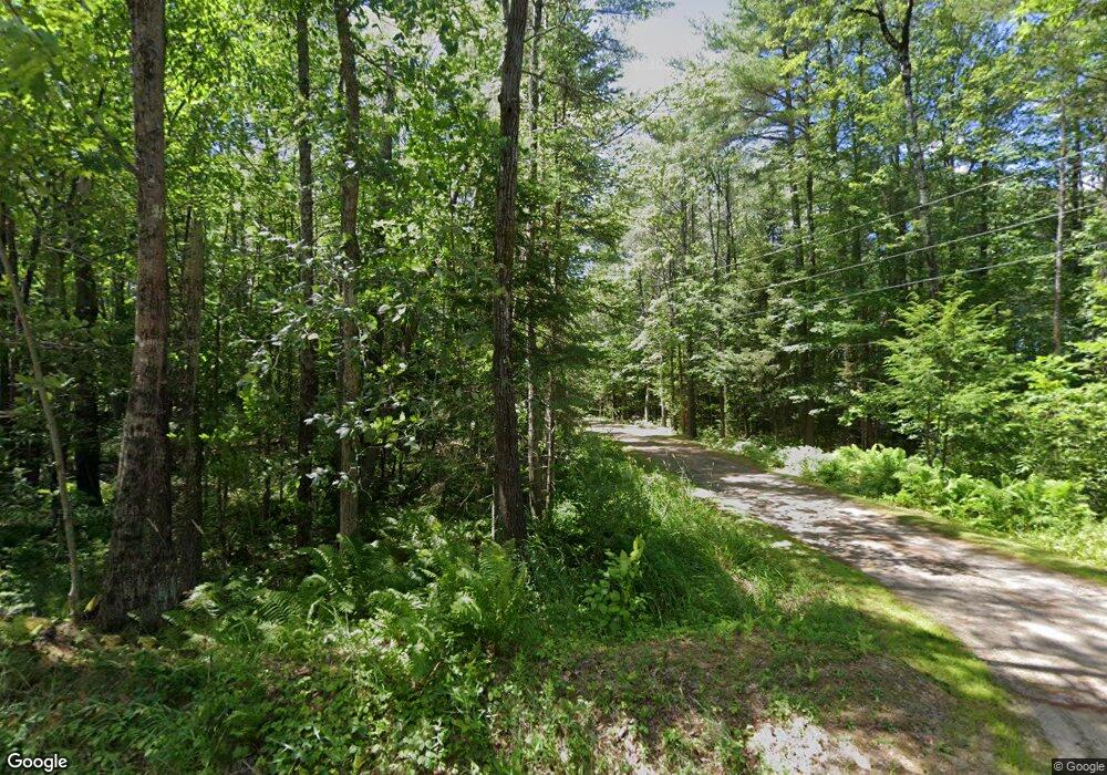
This home is located at 99 Grange Ave, Minot, ME 04258 and is currently estimated at $336,383, approximately $353 per square foot. 99 Grange Ave is a home with nearby schools including Minot Consolidated School.
Ownership History
Date
Name
Owned For
Owner Type
Purchase Details
Closed on
Sep 26, 2014
Sold by
Pare Normand A and Pare Jacqueline E
Bought by
Pare Brian N and Pare Nicky R
Current Estimated Value
Home Financials for this Owner
Home Financials are based on the most recent Mortgage that was taken out on this home.
Original Mortgage
$58,000
Interest Rate
4.12%
Mortgage Type
Unknown
Create a Home Valuation Report for This Property
The Home Valuation Report is an in-depth analysis detailing your home's value as well as a comparison with similar homes in the area
Home Values in the Area
Average Home Value in this Area
Purchase History
| Date | Buyer | Sale Price | Title Company |
|---|---|---|---|
| Pare Brian N | -- | -- |
Source: Public Records
Mortgage History
| Date | Status | Borrower | Loan Amount |
|---|---|---|---|
| Closed | Pare Brian N | $58,000 |
Source: Public Records
Tax History
| Year | Tax Paid | Tax Assessment Tax Assessment Total Assessment is a certain percentage of the fair market value that is determined by local assessors to be the total taxable value of land and additions on the property. | Land | Improvement |
|---|---|---|---|---|
| 2025 | $2,518 | $217,997 | $64,395 | $153,602 |
| 2024 | $2,431 | $217,997 | $64,395 | $153,602 |
| 2023 | $2,180 | $217,997 | $64,395 | $153,602 |
| 2022 | $2,147 | $217,997 | $64,395 | $153,602 |
| 2021 | $2,139 | $129,247 | $40,143 | $89,104 |
| 2020 | $2,139 | $129,247 | $40,143 | $89,104 |
| 2019 | $2,049 | $129,247 | $40,143 | $89,104 |
| 2018 | $46 | $129,247 | $40,143 | $89,104 |
| 2017 | $2,029 | $129,247 | $40,143 | $89,104 |
| 2016 | $47 | $129,247 | $40,143 | $89,104 |
| 2015 | $2,016 | $129,247 | $40,143 | $89,104 |
| 2014 | $1,939 | $129,247 | $40,143 | $89,104 |
Source: Public Records
Map
Nearby Homes
- 78 Star Dr
- 63 Elm St
- 11 Pine St
- 62 North St
- 26 Spring St
- 17 Walker Rd
- 125 S Main St
- 107 Riverside Dr
- 18 Purington Ave
- 19 Tirrell Ave
- 9 Raspberry Hill Rd
- 355 Woodman Hill Rd
- Lot 14C Mechanic Falls Rd
- Lot 2 Lane Rd
- Lot 7 Lane Rd
- Lot #1 Lane Rd
- 41 Elm Street Extension
- 31 New Dawn Rd
- 11 Scenic Heights Dr
- 12 Scenic Heights Dr
