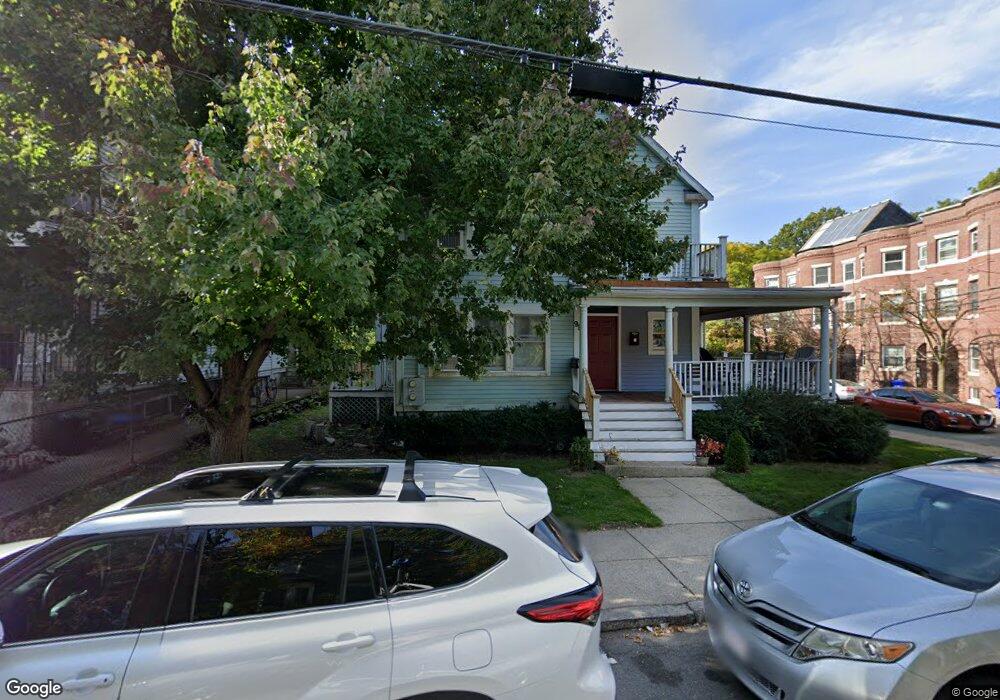
99 Highland St Roxbury, MA 02119
Fort Hill NeighborhoodEstimated Value: $801,659 - $1,228,000
6
Beds
3
Baths
2,790
Sq Ft
$355/Sq Ft
Est. Value
About This Home
This home is located at 99 Highland St, Roxbury, MA 02119 and is currently estimated at $989,165, approximately $354 per square foot. 99 Highland St is a home located in Suffolk County with nearby schools including City on a Hill Charter Public School, Paige Academy, and Malik Academy.
Ownership History
Date
Name
Owned For
Owner Type
Purchase Details
Closed on
Jun 26, 2017
Sold by
Murano Paul J and Murano Edward C
Bought by
Edward C Murano 2017 T
Current Estimated Value
Purchase Details
Closed on
Aug 27, 2002
Sold by
Veterans Benefits Clrg
Bought by
White Ana W
Home Financials for this Owner
Home Financials are based on the most recent Mortgage that was taken out on this home.
Original Mortgage
$212,315
Interest Rate
6.57%
Mortgage Type
Purchase Money Mortgage
Create a Home Valuation Report for This Property
The Home Valuation Report is an in-depth analysis detailing your home's value as well as a comparison with similar homes in the area
Home Values in the Area
Average Home Value in this Area
Purchase History
| Date | Buyer | Sale Price | Title Company |
|---|---|---|---|
| Edward C Murano 2017 T | -- | -- | |
| White Ana W | $220,000 | -- |
Source: Public Records
Mortgage History
| Date | Status | Borrower | Loan Amount |
|---|---|---|---|
| Previous Owner | White Ana W | $212,315 |
Source: Public Records
Tax History Compared to Growth
Tax History
| Year | Tax Paid | Tax Assessment Tax Assessment Total Assessment is a certain percentage of the fair market value that is determined by local assessors to be the total taxable value of land and additions on the property. | Land | Improvement |
|---|---|---|---|---|
| 2025 | $7,097 | $612,900 | $202,257 | $410,643 |
| 2024 | $6,362 | $583,700 | $157,599 | $426,101 |
| 2023 | $5,970 | $555,900 | $150,093 | $405,807 |
| 2022 | $5,760 | $529,400 | $142,938 | $386,462 |
| 2021 | $5,380 | $504,200 | $0 | $504,200 |
| 2020 | $5,071 | $480,200 | $0 | $480,200 |
| 2019 | $4,820 | $457,300 | $195,400 | $261,900 |
| 2018 | $4,564 | $435,500 | $195,400 | $240,100 |
| 2017 | $4,393 | $414,800 | $195,400 | $219,400 |
| 2016 | $4,345 | $395,000 | $195,400 | $199,600 |
| 2015 | $4,556 | $376,200 | $138,500 | $237,700 |
| 2014 | $4,507 | $358,300 | $138,500 | $219,800 |
Source: Public Records
Map
Nearby Homes
- 10 Linwood St
- 31 Dorr St
- 59 Fort Ave
- 4 Fort Ave Unit 2
- 49 Norfolk St
- 63 Beech Glen St
- 38 Juniper St
- 249 Roxbury St Unit 1
- 27 Dudley St
- 9 W Cedar St Unit 1
- 9-45 Vale St
- 743 Parker St Unit 3
- 51 Saint James St
- 22 Fisher Ave
- 64 Alpine St Unit 104
- 64 Alpine St Unit 304
- 37 Regent St Unit 2
- 2856 Washington St
- 8 Brinton St Unit 2
- 16 Mayfair St
- 101 Highland St
- 101 Cedar St Unit 3
- 101 Cedar St Unit 2
- 101 Cedar St Unit 1
- 99 Cedar St Unit 3
- 99 Cedar St Unit 2
- 99 Cedar St Unit 1
- 85 Highland St Unit 1
- 83-85-85 Highland St Unit 3
- 83 Highland St Unit 85
- 83-85 Highland St Unit 3
- 83-85 Highland St Unit 2
- 83-85 Highland St Unit 2
- 83-85 Highland St Unit 1
- 83 Highland St Unit 3
- 83 Highland St Unit 2
- 83 Highland St Unit 1
- 103 Cedar St
- 103 Cedar St
- 103 Cedar St Unit 2