99 Independence Dr Cripple Creek, CO 80813
Estimated Value: $528,330 - $685,000
3
Beds
3
Baths
2,775
Sq Ft
$217/Sq Ft
Est. Value
About This Home
This home is located at 99 Independence Dr, Cripple Creek, CO 80813 and is currently estimated at $601,583, approximately $216 per square foot. 99 Independence Dr is a home located in Teller County with nearby schools including Cresson Elementary School and Cripple Creek-Victor Junior/Senior High School.
Ownership History
Date
Name
Owned For
Owner Type
Purchase Details
Closed on
Dec 5, 2017
Sold by
Linda G Bander Living Trust
Bought by
Duffy Michael P and Leonard Richard J
Current Estimated Value
Home Financials for this Owner
Home Financials are based on the most recent Mortgage that was taken out on this home.
Original Mortgage
$170,000
Outstanding Balance
$143,125
Interest Rate
3.94%
Mortgage Type
New Conventional
Estimated Equity
$458,458
Purchase Details
Closed on
Nov 20, 2013
Sold by
Bender Linda G
Bought by
Linda G Bender Living Trust
Purchase Details
Closed on
Jan 17, 1996
Bought by
Duffy Michael P
Create a Home Valuation Report for This Property
The Home Valuation Report is an in-depth analysis detailing your home's value as well as a comparison with similar homes in the area
Home Values in the Area
Average Home Value in this Area
Purchase History
| Date | Buyer | Sale Price | Title Company |
|---|---|---|---|
| Duffy Michael P | $320,000 | Fidelity National Title | |
| Linda G Bender Living Trust | -- | None Available | |
| Duffy Michael P | $165,000 | -- |
Source: Public Records
Mortgage History
| Date | Status | Borrower | Loan Amount |
|---|---|---|---|
| Open | Duffy Michael P | $170,000 |
Source: Public Records
Tax History Compared to Growth
Tax History
| Year | Tax Paid | Tax Assessment Tax Assessment Total Assessment is a certain percentage of the fair market value that is determined by local assessors to be the total taxable value of land and additions on the property. | Land | Improvement |
|---|---|---|---|---|
| 2024 | $1,289 | $30,450 | $1,416 | $29,034 |
| 2023 | $1,289 | $30,450 | $1,420 | $29,030 |
| 2022 | $1,039 | $23,850 | $670 | $23,180 |
| 2021 | $1,074 | $24,540 | $690 | $23,850 |
| 2020 | $852 | $22,100 | $710 | $21,390 |
| 2019 | $846 | $22,100 | $0 | $0 |
| 2018 | $847 | $20,480 | $0 | $0 |
| 2017 | $844 | $20,480 | $0 | $0 |
| 2016 | $1,024 | $24,290 | $0 | $0 |
| 2015 | $1,046 | $24,290 | $0 | $0 |
| 2014 | $789 | $18,670 | $0 | $0 |
Source: Public Records
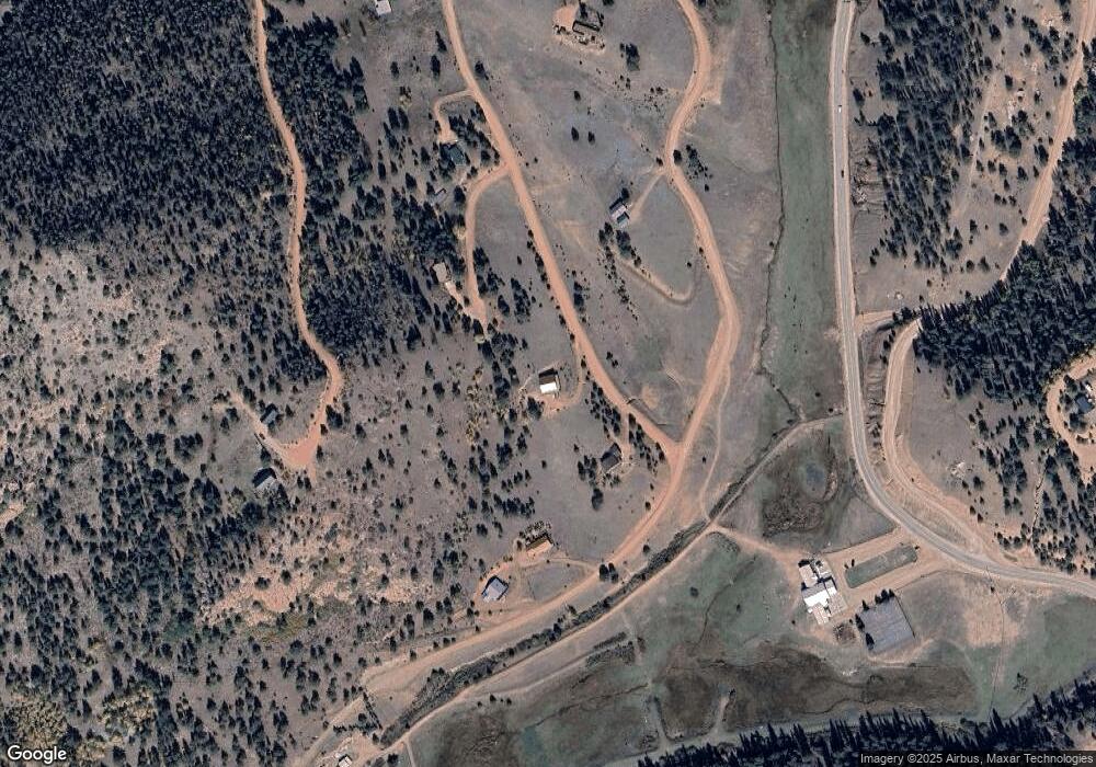
Map
Nearby Homes
- 193 Independence Dr
- 53 Nickel Plate Rd
- 243 Andes Rd
- 257 Portland Dr
- 129 Portland Dr
- 191 Portland Dr
- 372 Crystal Dr
- 172 Cortez Place Unit 40
- 621 Yorktown Rd
- 1000 Bennett Dr
- 1058 Bennett Dr
- 456 Idlewood
- 153 Idlewood
- 513 Last Dollar Dr
- 17 Red Cloud Cir
- 102 Blue Bell Cir
- 1522 Monarch Dr
- 216 & 252 Troy Dr
- 972 Anges Dr
- 24 Wild Horse Cir
- 33 Independence Dr
- 161 Independence Rd Unit 15
- 161 Independence Rd
- 533 Nickel Plate Rd
- 65 Copper King Ct
- 368 Nickel Plate Rd
- 511 Nickel Plate Rd
- 335 Nickel Plate Rd
- 923 Nickel Plate Rd
- 555 Nickel Plate Rd
- 555 & 577 Nickel Plate Rd
- 363 Nickel Plate Rd
- 301 Independence Dr
- 521 Andes Rd
- 555 Andes Rd
- 209 Nickel Plate Rd
- 65 Portland Dr
- 392 Andes Rd
- 439 Andes Rd
- 265 Independence Rd