99 J M Roy Dr Livermore, ME 04253
Estimated Value: $235,000 - $274,000
--
Bed
--
Bath
624
Sq Ft
$403/Sq Ft
Est. Value
About This Home
This home is located at 99 J M Roy Dr, Livermore, ME 04253 and is currently estimated at $251,756, approximately $403 per square foot. 99 J M Roy Dr is a home with nearby schools including Spruce Mountain Primary School, Spruce Mountain Elementary School, and Spruce Mountain Middle School.
Ownership History
Date
Name
Owned For
Owner Type
Purchase Details
Closed on
Apr 8, 2022
Sold by
Roy Jamie M and Roy Darice
Bought by
Harley Industries Llc
Current Estimated Value
Purchase Details
Closed on
Jul 20, 2016
Sold by
Roy Jamie M
Bought by
Roy Jamie M and Dubreuil Darice
Create a Home Valuation Report for This Property
The Home Valuation Report is an in-depth analysis detailing your home's value as well as a comparison with similar homes in the area
Home Values in the Area
Average Home Value in this Area
Purchase History
| Date | Buyer | Sale Price | Title Company |
|---|---|---|---|
| Harley Industries Llc | -- | None Available | |
| Roy Jamie M | -- | -- |
Source: Public Records
Tax History Compared to Growth
Tax History
| Year | Tax Paid | Tax Assessment Tax Assessment Total Assessment is a certain percentage of the fair market value that is determined by local assessors to be the total taxable value of land and additions on the property. | Land | Improvement |
|---|---|---|---|---|
| 2025 | $3,527 | $186,593 | $26,250 | $160,343 |
| 2024 | $3,191 | $186,593 | $26,250 | $160,343 |
| 2023 | $3,032 | $186,593 | $26,250 | $160,343 |
| 2022 | $2,985 | $186,593 | $26,250 | $160,343 |
| 2021 | $2,985 | $186,593 | $26,250 | $160,343 |
| 2020 | $2,846 | $186,593 | $26,250 | $160,343 |
| 2019 | $2,813 | $173,094 | $24,250 | $148,844 |
| 2018 | $2,770 | $173,094 | $24,250 | $148,844 |
| 2017 | $2,839 | $173,094 | $24,250 | $148,844 |
| 2016 | $1,577 | $98,552 | $24,250 | $74,302 |
| 2015 | $1,029 | $64,295 | $22,500 | $41,795 |
| 2014 | $913 | $64,295 | $22,500 | $41,795 |
Source: Public Records
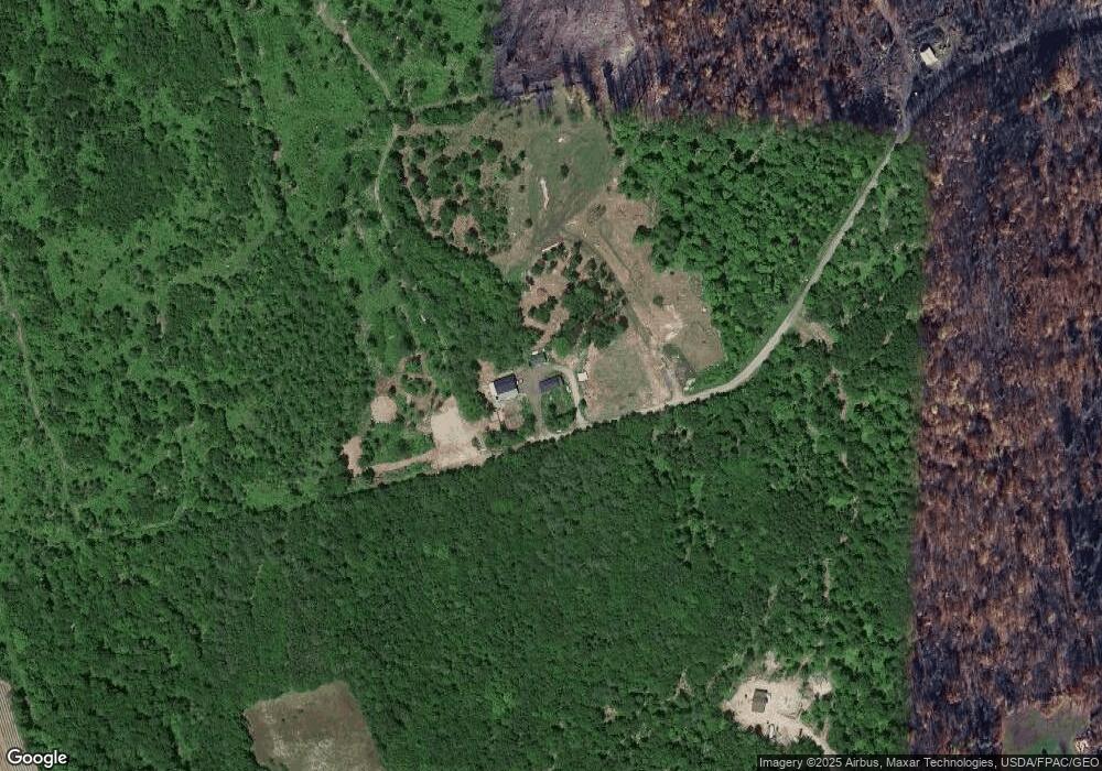
Map
Nearby Homes
- 281 Goding Rd
- 0 Goding Rd Unit 853278
- 0 Goding Rd Unit 6 747699
- 0 Goding Rd Unit 5 747697
- 0 Goding Rd
- 309 Goding Rd
- 292 Goding Rd
- 296 Goding Rd
- 251 Goding Rd
- 280 Goding Rd
- 310 Goding Rd
- 325 Goding Rd
- 326 Goding Rd
- 341 Goding Rd
- 225 Goding Rd
- 215 Goding Rd
- 353 Goding Rd
- 203 Goding Rd
- 56 Hyde Rd
- 197 Goding Rd