99 Laurel Hill Dr Woodstock Valley, CT 06282
Estimated Value: $360,920 - $459,000
2
Beds
2
Baths
1,056
Sq Ft
$397/Sq Ft
Est. Value
About This Home
This home is located at 99 Laurel Hill Dr, Woodstock Valley, CT 06282 and is currently estimated at $419,230, approximately $396 per square foot. 99 Laurel Hill Dr is a home located in Windham County with nearby schools including Woodstock Elementary School and Woodstock Middle School.
Ownership History
Date
Name
Owned For
Owner Type
Purchase Details
Closed on
Nov 10, 2014
Sold by
Wilkinson Kathryn
Bought by
Bloomquist Robert
Current Estimated Value
Purchase Details
Closed on
Mar 1, 2004
Sold by
Bucchere Thomas J and Bucchere John A
Bought by
Bloomquist Robert and Bloomquist Kathryn
Create a Home Valuation Report for This Property
The Home Valuation Report is an in-depth analysis detailing your home's value as well as a comparison with similar homes in the area
Home Values in the Area
Average Home Value in this Area
Purchase History
| Date | Buyer | Sale Price | Title Company |
|---|---|---|---|
| Bloomquist Robert | -- | -- | |
| Bloomquist Robert | $189,900 | -- |
Source: Public Records
Mortgage History
| Date | Status | Borrower | Loan Amount |
|---|---|---|---|
| Previous Owner | Bloomquist Robert | $30,000 | |
| Previous Owner | Bloomquist Robert | $26,525 |
Source: Public Records
Tax History Compared to Growth
Tax History
| Year | Tax Paid | Tax Assessment Tax Assessment Total Assessment is a certain percentage of the fair market value that is determined by local assessors to be the total taxable value of land and additions on the property. | Land | Improvement |
|---|---|---|---|---|
| 2025 | $5,603 | $193,200 | $141,000 | $52,200 |
| 2024 | $4,451 | $193,200 | $141,000 | $52,200 |
| 2023 | $4,330 | $193,200 | $141,000 | $52,200 |
| 2022 | $4,028 | $193,200 | $141,000 | $52,200 |
| 2021 | $3,499 | $137,200 | $97,200 | $40,000 |
| 2020 | $3,719 | $151,800 | $120,200 | $31,600 |
| 2019 | $3,719 | $151,800 | $120,200 | $31,600 |
| 2018 | $3,719 | $151,800 | $120,200 | $31,600 |
| 2017 | $3,689 | $151,800 | $120,200 | $31,600 |
| 2016 | $3,818 | $158,800 | $107,900 | $50,900 |
| 2015 | $3,710 | $158,800 | $107,900 | $50,900 |
| 2014 | $3,668 | $158,800 | $107,900 | $50,900 |
Source: Public Records
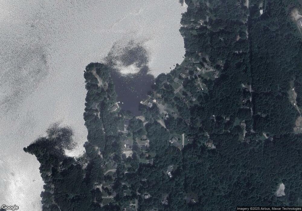
Map
Nearby Homes
- 70 Laurel Hill Dr
- 56 Laurel Hill Dr
- 80 Bungay Hill Rd
- 10 Laurel Hill Dr
- 19 Hiawatha Heights
- 0 Hemlock Dr
- 23 Little Bungee Hill Rd
- 115 Crooked Trail Extension
- 29 Crooked Trail Extension
- 4 Perrin Rd
- 381 Bungay Hill Rd
- 0 Aplin Hill Ln
- 00 Route 171 Unit Lot 1
- 15 Windswept Dr
- 9 Sherman Rd
- 402 Perrin Rd
- 278 Child Rd
- 0 Connecticut 171
- 0 Rr 197 Rd
- 189 Center Rd
- 95 Laurel Hill Dr
- 91 Laurel Hill Dr
- 32B Laurel Hill Dr
- XO Laurel Hill Dr
- 000 Laurel Hill Dr
- Lots 33&32 Laurel Hill Dr
- B32 Laurel Hill Dr
- B35 Laurel Hill Dr
- 89 Laurel Hill Dr
- 96 Laurel Hill Dr
- 85 Laurel Hill Dr
- 92 Laurel Hill Dr
- 88 Laurel Hill Dr
- 83 Red Cedar Rd
- 2 Big Horn Ln
- 83 Laurel Hill Dr
- 10 Big Horn Ln
- 86 Laurel Hill Dr
- 79 Laurel Hill Dr
- 12 Hilltop Dr