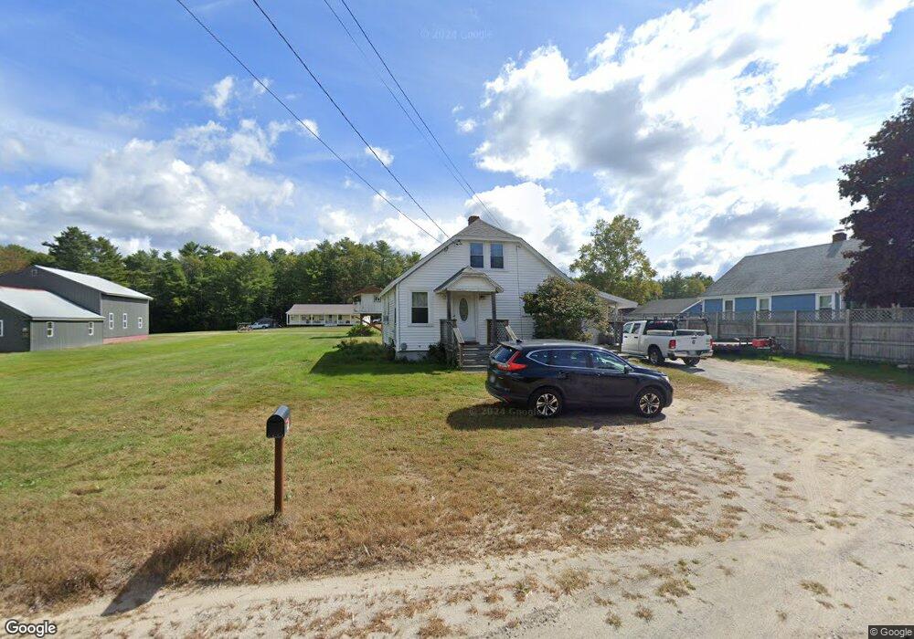
99 Lewiston Rd New Gloucester, ME 04260
Estimated Value: $225,678 - $375,000
3
Beds
1
Bath
1,260
Sq Ft
$246/Sq Ft
Est. Value
About This Home
This home is located at 99 Lewiston Rd, New Gloucester, ME 04260 and is currently estimated at $309,420, approximately $245 per square foot. 99 Lewiston Rd is a home located in Cumberland County with nearby schools including Gray-New Gloucester High School and Fiddlehead School of Arts & Science.
Ownership History
Date
Name
Owned For
Owner Type
Purchase Details
Closed on
Mar 27, 2019
Sold by
Paine Brian S and Paine Elizabeth J
Bought by
Paine Brian S
Current Estimated Value
Home Financials for this Owner
Home Financials are based on the most recent Mortgage that was taken out on this home.
Original Mortgage
$150,450
Outstanding Balance
$131,458
Interest Rate
4.3%
Mortgage Type
New Conventional
Estimated Equity
$177,962
Purchase Details
Closed on
Sep 7, 2007
Sold by
Montecalvo Liana R and Ponard Liana M
Bought by
Paine Brian S and Paine Elizabeth J
Home Financials for this Owner
Home Financials are based on the most recent Mortgage that was taken out on this home.
Original Mortgage
$139,050
Interest Rate
6.74%
Mortgage Type
FHA
Create a Home Valuation Report for This Property
The Home Valuation Report is an in-depth analysis detailing your home's value as well as a comparison with similar homes in the area
Home Values in the Area
Average Home Value in this Area
Purchase History
| Date | Buyer | Sale Price | Title Company |
|---|---|---|---|
| Paine Brian S | -- | -- | |
| Paine Brian S | -- | -- |
Source: Public Records
Mortgage History
| Date | Status | Borrower | Loan Amount |
|---|---|---|---|
| Open | Paine Brian S | $150,450 | |
| Previous Owner | Paine Brian S | $139,050 |
Source: Public Records
Tax History Compared to Growth
Tax History
| Year | Tax Paid | Tax Assessment Tax Assessment Total Assessment is a certain percentage of the fair market value that is determined by local assessors to be the total taxable value of land and additions on the property. | Land | Improvement |
|---|---|---|---|---|
| 2025 | $2,027 | $131,055 | $49,110 | $81,945 |
| 2024 | $1,951 | $131,055 | $49,110 | $81,945 |
| 2023 | $1,873 | $131,055 | $49,110 | $81,945 |
| 2022 | $1,809 | $131,055 | $49,110 | $81,945 |
| 2021 | $1,809 | $131,055 | $49,110 | $81,945 |
| 2020 | $1,789 | $131,055 | $49,110 | $81,945 |
| 2019 | $1,928 | $114,100 | $52,100 | $62,000 |
| 2018 | $1,487 | $114,100 | $52,100 | $62,000 |
| 2017 | $1,780 | $114,100 | $52,100 | $62,000 |
| 2016 | $1,677 | $114,100 | $52,100 | $62,000 |
| 2015 | $1,672 | $114,100 | $52,100 | $62,000 |
| 2014 | $1,654 | $114,100 | $52,100 | $62,000 |
| 2013 | $1,535 | $114,100 | $52,100 | $62,000 |
Source: Public Records
Map
Nearby Homes
- 0 Mayall
- TBD Targett Rd
- 155 & 151 Gloucester Hill Rd
- 0018-C Gloucester Hill Rd
- 22 Shaw Rd
- 271 Bennett Rd
- 160 Gloucester Hill Rd
- 343 Shaker Rd
- 27 Callaway Dr Unit 27B
- 17 Callaway Dr Unit 17
- 136 Shaker Rd
- 1 Colley Hill Rd
- 10 Cobbs Bridge Rd
- 22 Gray Park
- 24 Swamp Rd
- 127 Shaker Rd Unit 61
- 2 Dr
- 4 Chelsey Ln
- 25 Main St
- 14 Woodcock Dr
- 97 Lewiston Rd
- 91 Lewiston Rd
- 0 Fish Hatchery Rd
- 98 Lewiston Rd
- 109 Lewiston Rd
- 105 Lewiston Rd
- 11 Fish Hatchery Rd
- 85 Lewiston Rd
- 95 Lewiston Rd
- 123 Lewiston Rd
- 89 Lewiston Rd
- 17A Fish Hatchery Rd
- 17 Fish Hatchery Rd
- 17 Fish Hatchery Rd
- 17 Fish Hatchery Rd Unit A
- 21 Glendale Dr
- 25 Glendale Dr
- 74 Lewiston Rd
- 73 Lewiston Rd
- 124 Lewiston Rd