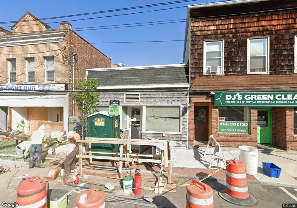
99 Main St Dobbs Ferry, NY 10522
Estimated Value: $837,650
--
Bed
--
Bath
--
Sq Ft
2,614
Sq Ft Lot
About This Home
This home is located at 99 Main St, Dobbs Ferry, NY 10522 and is currently estimated at $837,650. 99 Main St is a home located in Westchester County with nearby schools including Springhurst Elementary School, Dobbs Ferry High School, and The Masters School.
Ownership History
Date
Name
Owned For
Owner Type
Purchase Details
Closed on
May 26, 2022
Sold by
99 Main Street Corporation
Bought by
M Ket Llc
Current Estimated Value
Purchase Details
Closed on
Mar 8, 2004
Sold by
Dibari John A
Bought by
99 Main Street Corp
Purchase Details
Closed on
Sep 21, 2000
Sold by
Spar Marsha
Bought by
Dibari John A
Home Financials for this Owner
Home Financials are based on the most recent Mortgage that was taken out on this home.
Original Mortgage
$183,750
Interest Rate
9%
Mortgage Type
Stand Alone First
Create a Home Valuation Report for This Property
The Home Valuation Report is an in-depth analysis detailing your home's value as well as a comparison with similar homes in the area
Home Values in the Area
Average Home Value in this Area
Purchase History
| Date | Buyer | Sale Price | Title Company |
|---|---|---|---|
| M Ket Llc | $699,000 | None Listed On Document | |
| 99 Main Street Corp | -- | -- | |
| Dibari John A | $245,000 | Chicago Title Insurance Co |
Source: Public Records
Mortgage History
| Date | Status | Borrower | Loan Amount |
|---|---|---|---|
| Previous Owner | Dibari John A | $183,750 |
Source: Public Records
Tax History Compared to Growth
Tax History
| Year | Tax Paid | Tax Assessment Tax Assessment Total Assessment is a certain percentage of the fair market value that is determined by local assessors to be the total taxable value of land and additions on the property. | Land | Improvement |
|---|---|---|---|---|
| 2024 | $12,708 | $681,900 | $301,600 | $380,300 |
| 2023 | $11,699 | $372,300 | $301,600 | $70,700 |
| 2022 | $12,244 | $372,300 | $301,600 | $70,700 |
| 2021 | $13,630 | $372,300 | $301,600 | $70,700 |
| 2020 | $13,397 | $400,600 | $273,000 | $127,600 |
| 2019 | $13,276 | $400,600 | $273,000 | $127,600 |
| 2018 | $16,188 | $400,600 | $273,000 | $127,600 |
| 2017 | $1,820 | $400,600 | $273,000 | $127,600 |
| 2016 | $330,364 | $400,600 | $273,000 | $127,600 |
| 2015 | -- | $15,950 | $6,400 | $9,550 |
| 2014 | -- | $15,950 | $6,400 | $9,550 |
| 2013 | $13,068 | $15,950 | $6,400 | $9,550 |
Source: Public Records
Map
Nearby Homes
- 100 Cedar St Unit B33
- 18 Eldredge Place
- 33 Livingston Ave
- 31 Hudson Dr
- 66 Landing Dr
- 78 Oliphant Ave
- 10 Sherman Ave
- 36 Belden Ave
- 23 Seneca St
- 50 Belden Ave
- 63 Grandview Ave
- 177 Clinton Ave
- 13 English Ln Unit B
- 101 Beacon Hill Dr Unit 13
- 72 Magnolia Dr
- 0 Sherman Ave Unit KEY841006
- 70 Washington Ave
- 11 Fairlawn Ave
- 17 Manor House Dr Unit K13
- 14 Manor House Dr Unit G29
- 97 Main St Unit 2
- 97 Main St
- 103 Main St Unit 2
- 103 Main St
- 93 Main St
- 105 Main St
- 105 Main St Unit 1
- 105 Main St Unit 3 rd fl
- 91 Main St Unit 3N
- 91 Main St
- 107 Main St Unit 1
- 107 Main St
- 114 Palisade St Unit Rear
- 110 Palisade St
- 116 Palisade St
- 87 Main St
- 104 Palisade St
- 114 Palisade Rear St
- 118 Palisade St
- 108 Main St