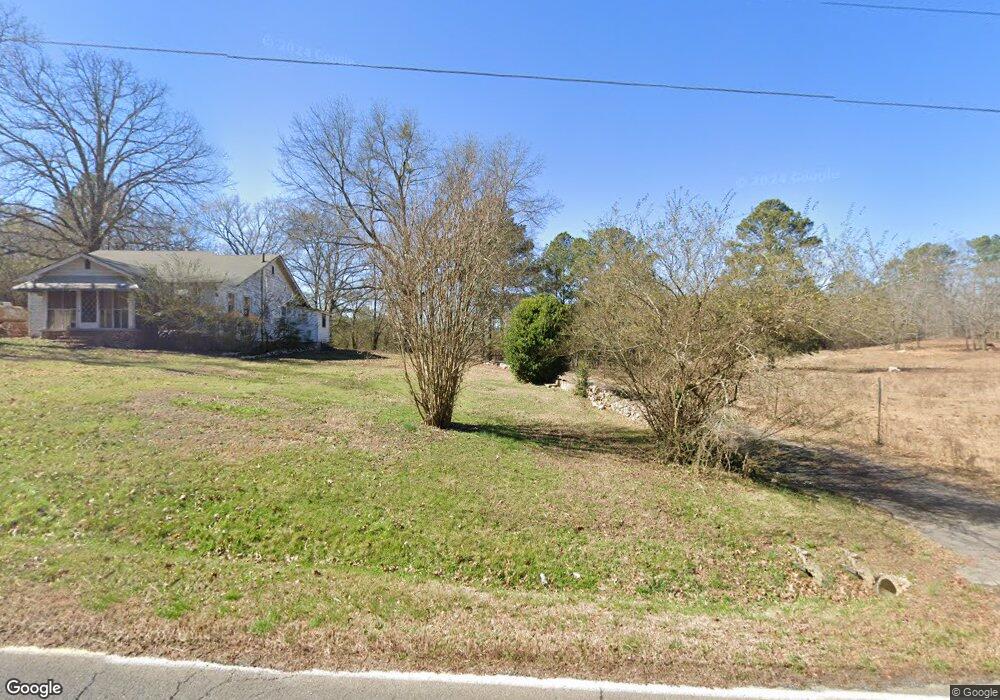
99 Mcclain Rd Kingston, GA 30145
Estimated Value: $117,713 - $225,000
--
Bed
1
Bath
1,160
Sq Ft
$147/Sq Ft
Est. Value
About This Home
This home is located at 99 Mcclain Rd, Kingston, GA 30145 and is currently estimated at $170,238, approximately $146 per square foot. 99 Mcclain Rd is a home located in Floyd County with nearby schools including Model Middle School and Model High School.
Ownership History
Date
Name
Owned For
Owner Type
Purchase Details
Closed on
Nov 6, 2017
Sold by
Lewis Charles
Bought by
Dickerson Dorothy A
Current Estimated Value
Purchase Details
Closed on
Sep 5, 2007
Sold by
Not Provided
Bought by
Martin Charles W
Purchase Details
Closed on
Nov 28, 1995
Sold by
Martin Charles
Bought by
Martin Beatrice
Purchase Details
Closed on
Jun 28, 1989
Bought by
P and R
Purchase Details
Closed on
Dec 29, 1988
Bought by
Wiseman Spence and Sue Todd
Create a Home Valuation Report for This Property
The Home Valuation Report is an in-depth analysis detailing your home's value as well as a comparison with similar homes in the area
Home Values in the Area
Average Home Value in this Area
Purchase History
| Date | Buyer | Sale Price | Title Company |
|---|---|---|---|
| Dickerson Dorothy A | -- | -- | |
| Tankersley Christie B | -- | -- | |
| Martin Charles W | -- | -- | |
| Martin Beatrice | -- | -- | |
| P | -- | -- | |
| P | -- | -- | |
| Martin Charles | $60,500 | -- | |
| Wiseman Spence | -- | -- |
Source: Public Records
Tax History Compared to Growth
Tax History
| Year | Tax Paid | Tax Assessment Tax Assessment Total Assessment is a certain percentage of the fair market value that is determined by local assessors to be the total taxable value of land and additions on the property. | Land | Improvement |
|---|---|---|---|---|
| 2024 | $1,259 | $39,966 | $12,836 | $27,130 |
| 2023 | $992 | $34,601 | $11,669 | $22,932 |
| 2022 | $805 | $27,138 | $9,592 | $17,546 |
| 2021 | $652 | $21,587 | $8,659 | $12,928 |
| 2020 | $565 | $18,576 | $7,530 | $11,046 |
| 2019 | $538 | $17,927 | $7,530 | $10,397 |
| 2018 | $520 | $17,282 | $7,172 | $10,110 |
| 2017 | $678 | $25,670 | $10,758 | $14,912 |
| 2016 | $674 | $25,259 | $10,720 | $14,539 |
| 2015 | -- | $25,259 | $10,720 | $14,539 |
| 2014 | -- | $25,259 | $10,720 | $14,539 |
Source: Public Records
Map
Nearby Homes
- 0 Mcclain Rd Unit 10537234
- 96 Collins Rd NE
- 87 Ward Mountain Rd
- 159 Ward Mountain Rd
- 291 Youngs Mill Rd
- 370 Youngs Mill Rd
- 818 Morrison Camp Ground Rd NE
- 169 Barnsley Church Rd
- 1799 Wayside Rd
- 890 Ward Mountain Rd
- 32 Fieldstone Dr NE
- 127 Branson Rd SE
- 567 Fred Kelley Rd NE
- 676 Flowery Branch Rd
- 92 Davis Loop
- 1644 Wayside Rd NE
- 158 Sproull Rd SE
- 406 Fred Kelly Rd NE
- 851 Barnsley Garden Rd
- 2878 E Hermitage Rd