99 Mint Ln Poplar Bluff, MO 63901
Estimated Value: $210,000 - $384,000
Studio
--
Bath
3,128
Sq Ft
$89/Sq Ft
Est. Value
About This Home
This home is located at 99 Mint Ln, Poplar Bluff, MO 63901 and is currently estimated at $278,978, approximately $89 per square foot. 99 Mint Ln is a home with nearby schools including Eugene Field Elementary School, Poplar Bluff Fifth & Sixth Grade Center, and Poplar Bluff Junior High School.
Ownership History
Date
Name
Owned For
Owner Type
Purchase Details
Closed on
Oct 6, 2006
Sold by
Browne Richard and Browne Christie
Bought by
Webb David L and Webb Michele E
Current Estimated Value
Home Financials for this Owner
Home Financials are based on the most recent Mortgage that was taken out on this home.
Original Mortgage
$116,000
Outstanding Balance
$67,413
Interest Rate
6.46%
Mortgage Type
New Conventional
Estimated Equity
$211,565
Create a Home Valuation Report for This Property
The Home Valuation Report is an in-depth analysis detailing your home's value as well as a comparison with similar homes in the area
Purchase History
| Date | Buyer | Sale Price | Title Company |
|---|---|---|---|
| Webb David L | -- | -- |
Source: Public Records
Mortgage History
| Date | Status | Borrower | Loan Amount |
|---|---|---|---|
| Open | Webb David L | $116,000 |
Source: Public Records
Tax History
| Year | Tax Paid | Tax Assessment Tax Assessment Total Assessment is a certain percentage of the fair market value that is determined by local assessors to be the total taxable value of land and additions on the property. | Land | Improvement |
|---|---|---|---|---|
| 2025 | $1,333 | $30,660 | $0 | $0 |
| 2024 | $13 | $28,410 | $0 | $0 |
| 2023 | $1,265 | $28,410 | $0 | $0 |
| 2022 | $1,223 | $27,520 | $0 | $0 |
| 2021 | $1,224 | $27,520 | $0 | $0 |
| 2020 | $1,197 | $26,510 | $0 | $0 |
| 2019 | $1,196 | $26,510 | $0 | $0 |
| 2018 | $1,196 | $26,510 | $0 | $0 |
| 2017 | -- | $26,510 | $0 | $0 |
| 2016 | -- | $26,510 | $0 | $0 |
| 2015 | -- | $26,510 | $0 | $0 |
| 2014 | -- | $24,800 | $0 | $0 |
| 2012 | $939 | $24,800 | $0 | $0 |
Source: Public Records
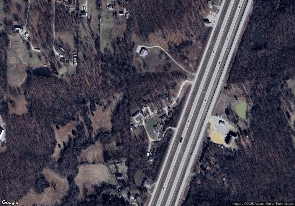
Map
Nearby Homes
- 1480 Cr 476
- 497 Honor Ln
- 484 County Road 304
- 354 Murfield Dr
- 213 Murfield Dr
- Lot 1 W Highland Cir
- Lot 3 W Highland Cir
- Lot 2 W Highland Cir
- 2031 Carter State Highway M
- 238 Ruth Harris Ln
- 233 Ruth Harris Ln
- 231 Ruth Harris Ln
- 0 County Road 301
- W of County Road 301
- 647 County Road 470
- 265 Berkshire Dr
- 269 Berkshire Dr
- 318 Shadow Rock Lake Rd
- County Road 315
- 000 County Road 315
- 71 Mint Ln
- 70 Mint Ln
- 184 Mint Ln
- 177 Mint Ln
- 185 Mint Ln
- 67 W W Dr S
- 362 County Road 476
- 242 County Road 476
- 0 Tract 11 Cr 478 Unit 9936582
- 0 Tract 13 Cr 478 Unit 9936584
- 0 Tract 15 Cr 478 Unit 9936586
- 0 Tract 17 Cr 478 Unit 9936588
- 0 Tract 12 Cr 478 Unit 9936583
- 0 Tract 14 Cr 478
- 0 Tract 16 Cr 478 Unit 9936587
- 0 Tract 18 Cr 478 Unit 9936589
- 406 County Road 476
- 288 County Road 476
- 0 Hwy 67 S End of Cr 478
- 0 Hwy 67 S End of Cr 478
Your Personal Tour Guide
Ask me questions while you tour the home.