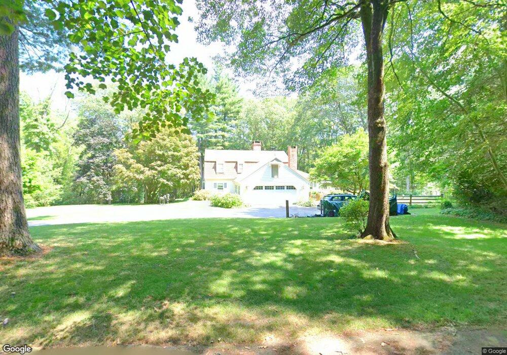
99 Red Pine Dr Carlisle, MA 01741
Estimated Value: $1,373,000 - $1,465,000
4
Beds
4
Baths
3,200
Sq Ft
$445/Sq Ft
Est. Value
About This Home
This home is located at 99 Red Pine Dr, Carlisle, MA 01741 and is currently estimated at $1,423,240, approximately $444 per square foot. 99 Red Pine Dr is a home located in Middlesex County with nearby schools including Carlisle School, Concord Carlisle High School, and Middlesex School.
Ownership History
Date
Name
Owned For
Owner Type
Purchase Details
Closed on
Sep 21, 2005
Sold by
Specht Ann M and Weadock Ann M
Bought by
Quenin Ann S and Blanchette Eileen E
Current Estimated Value
Home Financials for this Owner
Home Financials are based on the most recent Mortgage that was taken out on this home.
Original Mortgage
$480,000
Interest Rate
5.92%
Mortgage Type
Purchase Money Mortgage
Purchase Details
Closed on
Jun 17, 1999
Sold by
Kilfoyle Patricia D
Bought by
Weadock Ann M and Weadock Florence
Purchase Details
Closed on
May 2, 1997
Sold by
Stelling Valerie C
Bought by
Kilfoyle Patricia D
Create a Home Valuation Report for This Property
The Home Valuation Report is an in-depth analysis detailing your home's value as well as a comparison with similar homes in the area
Home Values in the Area
Average Home Value in this Area
Purchase History
| Date | Buyer | Sale Price | Title Company |
|---|---|---|---|
| Quenin Ann S | $975,000 | -- | |
| Quenin Ann S | $975,000 | -- | |
| Weadock Ann M | $620,000 | -- | |
| Weadock Ann M | $620,000 | -- | |
| Kilfoyle Patricia D | $492,000 | -- | |
| Kilfoyle Patricia D | $492,000 | -- |
Source: Public Records
Mortgage History
| Date | Status | Borrower | Loan Amount |
|---|---|---|---|
| Open | Kilfoyle Patricia D | $361,500 | |
| Closed | Kilfoyle Patricia D | $374,000 | |
| Closed | Quenin Ann S | $480,000 |
Source: Public Records
Tax History
| Year | Tax Paid | Tax Assessment Tax Assessment Total Assessment is a certain percentage of the fair market value that is determined by local assessors to be the total taxable value of land and additions on the property. | Land | Improvement |
|---|---|---|---|---|
| 2025 | $18,087 | $1,372,300 | $566,400 | $805,900 |
| 2024 | $17,758 | $1,332,200 | $522,700 | $809,500 |
| 2023 | $16,674 | $1,178,400 | $500,900 | $677,500 |
| 2022 | $16,724 | $1,013,600 | $457,400 | $556,200 |
| 2021 | $5,139 | $1,013,600 | $457,400 | $556,200 |
| 2020 | $16,755 | $912,600 | $352,800 | $559,800 |
| 2019 | $16,445 | $899,100 | $352,800 | $546,300 |
| 2018 | $29,311 | $899,100 | $352,800 | $546,300 |
| 2017 | $15,944 | $904,900 | $352,800 | $552,100 |
| 2016 | $15,564 | $904,900 | $352,800 | $552,100 |
| 2015 | $15,107 | $795,100 | $352,800 | $442,300 |
| 2014 | $14,821 | $795,100 | $352,800 | $442,300 |
Source: Public Records
Map
Nearby Homes
- 125 Maple St
- 389 River Rd
- 210 Monument Farm Rd
- 9 Kay's Walk
- 14 Kay's Walk
- 1437-3 Monument St
- 6 Edgehill Rd
- 63 Outlook Rd
- 1409 Monument St
- 43 Outlook Rd
- 21 Woodside Rd
- 24 Sorli Way
- 376 Treble Cove Rd
- 1 Kenwood St
- 45 Winterberry Way
- 1 Hillcrest Rd
- 495 Hugh Cargill Rd
- 34 Pickman Dr Unit 14
- 22 Osceola Ln
- 3 Rio Vista St
- 114 Red Pine Dr
- 49 Red Pine Dr
- 70 Red Pine Dr
- 119 Stearns St
- 70 Canterbury Ct
- 44 Canterbury Ct
- 75 Stearns St
- 135 Stearns St
- 33 Red Pine Dr
- 94 Canterbury Ct
- 195 Stearns St
- 542 Bedford Rd
- 165 Stearns St
- 108 Stearns St
- 610 Bedford Rd
- 108 Canterbury Ct
- 78 Stearns St
- 588 Bedford Rd
- 20 Red Pine Dr
- 132 Stearns St
Your Personal Tour Guide
Ask me questions while you tour the home.