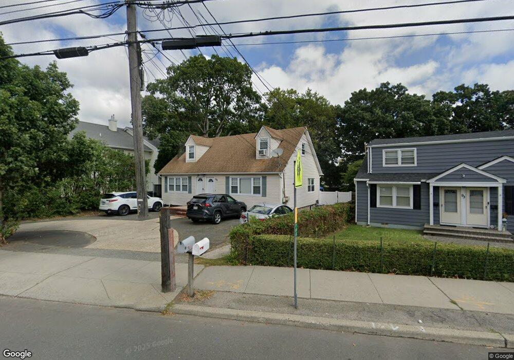
99 Route 109 West Babylon, NY 11704
Estimated Value: $619,412 - $819,000
--
Bed
2
Baths
1,295
Sq Ft
$549/Sq Ft
Est. Value
About This Home
This home is located at 99 Route 109, West Babylon, NY 11704 and is currently estimated at $711,103, approximately $549 per square foot. 99 Route 109 is a home located in Suffolk County.
Ownership History
Date
Name
Owned For
Owner Type
Purchase Details
Closed on
Jan 27, 2004
Sold by
Sea Spray Management Corp
Bought by
Berman Glenn and Berman Fayth
Current Estimated Value
Home Financials for this Owner
Home Financials are based on the most recent Mortgage that was taken out on this home.
Original Mortgage
$248,000
Interest Rate
5.82%
Mortgage Type
Unknown
Purchase Details
Closed on
Jul 27, 1989
Sold by
Consiglio Santo
Bought by
Sea Spray Management Corp
Create a Home Valuation Report for This Property
The Home Valuation Report is an in-depth analysis detailing your home's value as well as a comparison with similar homes in the area
Home Values in the Area
Average Home Value in this Area
Purchase History
| Date | Buyer | Sale Price | Title Company |
|---|---|---|---|
| Berman Glenn | $310,000 | Commonwealth Title | |
| Sea Spray Management Corp | -- | -- |
Source: Public Records
Mortgage History
| Date | Status | Borrower | Loan Amount |
|---|---|---|---|
| Closed | Berman Glenn | $248,000 |
Source: Public Records
Tax History Compared to Growth
Tax History
| Year | Tax Paid | Tax Assessment Tax Assessment Total Assessment is a certain percentage of the fair market value that is determined by local assessors to be the total taxable value of land and additions on the property. | Land | Improvement |
|---|---|---|---|---|
| 2024 | $15,794 | $4,180 | $220 | $3,960 |
| 2023 | $15,794 | $4,180 | $220 | $3,960 |
| 2022 | $13,630 | $4,180 | $220 | $3,960 |
| 2021 | $13,630 | $4,180 | $220 | $3,960 |
| 2020 | $14,042 | $4,180 | $220 | $3,960 |
| 2019 | $14,042 | $0 | $0 | $0 |
| 2018 | $13,583 | $4,180 | $220 | $3,960 |
| 2017 | $13,583 | $4,180 | $220 | $3,960 |
| 2016 | $13,534 | $4,180 | $220 | $3,960 |
| 2015 | -- | $4,180 | $220 | $3,960 |
| 2014 | -- | $4,180 | $220 | $3,960 |
Source: Public Records
Map
Nearby Homes
- 6 Glenda Dr
- 26 Sawyer Ave
- 154A Woodrow Pkwy
- 144 Woodrow Pkwy
- 162 Millard Ave Unit 162
- 204 Millard Ave Unit 204
- 248 Arnold Ave
- 1 Puritan Place
- 115 Old Farmingdale Rd
- 79 Woodrow Pkwy
- 24 Calvert Ave
- 49 Arnold Ave
- 45 Arnold Ave
- 792 Glendale Rd
- 16 Della Dr
- 27 E Neck Ct
- 118 Terrace Ave
- 825 Weber Ave
- 5 Petersen Ct Unit 5
- 219 Litchfield Ave
- 93 Route 109
- 93 Farmingdale Rd
- 596 Little East Neck Rd
- 5 Lamberta Ct
- 594 Little East Neck Rd
- 590 Little East Neck Rd
- 4 Lamberta Ct
- 586 Little East Neck Rd
- 586 Little East Neck Rd Unit 2
- 6 Lamberta Ct
- 23 Platt Ave
- 3 Lamberta Ct
- 112 Farmingdale Rd
- 135 Platt Ave
- 77 Route 109
- 19 Platt Ave
- 95 Edel Ave
- 98 Edel Ave
- 1 Lamberta Ct
- 601 Little East Neck Rd