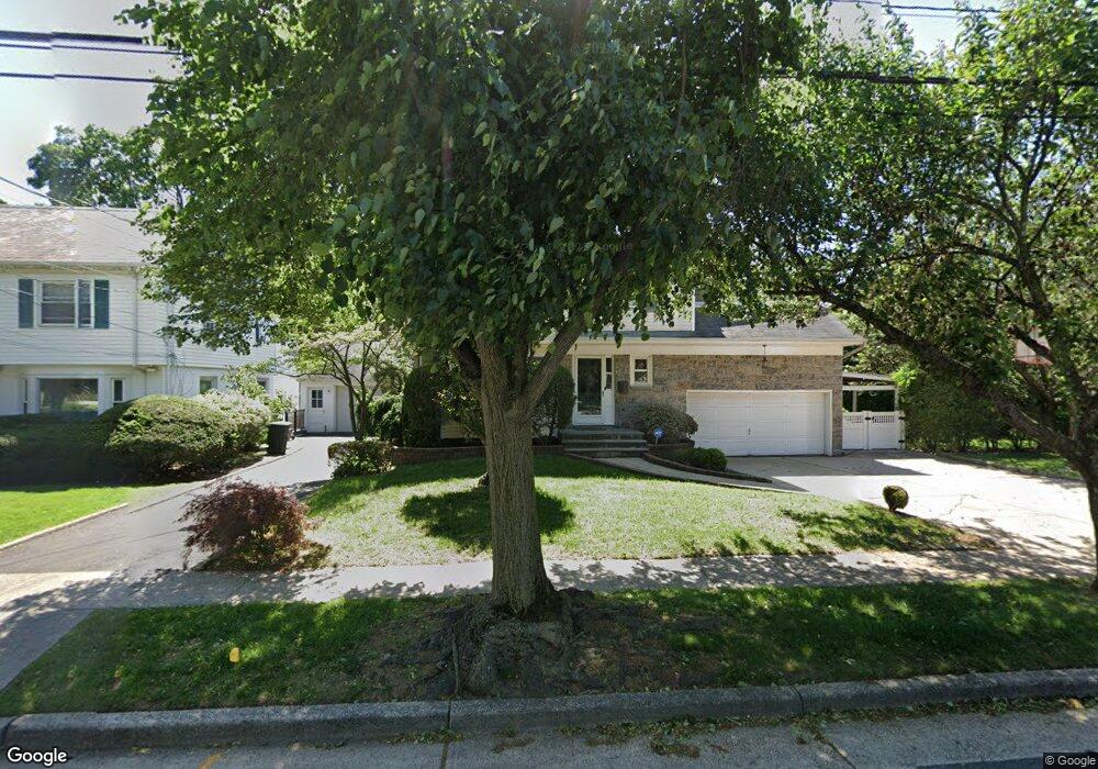
99 Saint Pauls Rd N Hempstead, NY 11550
Estimated Value: $695,000 - $918,299
3
Beds
3
Baths
2,333
Sq Ft
$346/Sq Ft
Est. Value
About This Home
This home is located at 99 Saint Pauls Rd N, Hempstead, NY 11550 and is currently estimated at $806,650, approximately $345 per square foot. 99 Saint Pauls Rd N is a home located in Nassau County with nearby schools including The Academy Charter School, Crescent School, and St Joseph Elementary School.
Ownership History
Date
Name
Owned For
Owner Type
Purchase Details
Closed on
Mar 12, 2012
Sold by
Jackey Christopher and Jackey Diane
Bought by
Delpe Jean D and Delpe Marie J
Current Estimated Value
Home Financials for this Owner
Home Financials are based on the most recent Mortgage that was taken out on this home.
Original Mortgage
$268,620
Interest Rate
2.75%
Mortgage Type
FHA
Create a Home Valuation Report for This Property
The Home Valuation Report is an in-depth analysis detailing your home's value as well as a comparison with similar homes in the area
Home Values in the Area
Average Home Value in this Area
Purchase History
| Date | Buyer | Sale Price | Title Company |
|---|---|---|---|
| Delpe Jean D | $330,000 | -- |
Source: Public Records
Mortgage History
| Date | Status | Borrower | Loan Amount |
|---|---|---|---|
| Previous Owner | Delpe Jean D | $268,620 |
Source: Public Records
Tax History Compared to Growth
Tax History
| Year | Tax Paid | Tax Assessment Tax Assessment Total Assessment is a certain percentage of the fair market value that is determined by local assessors to be the total taxable value of land and additions on the property. | Land | Improvement |
|---|---|---|---|---|
| 2025 | $13,764 | $587 | $183 | $404 |
| 2024 | $1,524 | $587 | $183 | $404 |
| 2023 | $12,951 | $587 | $183 | $404 |
| 2022 | $12,951 | $587 | $183 | $404 |
| 2021 | $18,766 | $568 | $177 | $391 |
| 2020 | $13,027 | $818 | $564 | $254 |
| 2019 | $12,296 | $818 | $564 | $254 |
| 2018 | $11,761 | $818 | $0 | $0 |
| 2017 | $9,242 | $818 | $564 | $254 |
| 2016 | $10,673 | $818 | $564 | $254 |
| 2015 | $1,268 | $757 | $427 | $330 |
| 2014 | $1,268 | $757 | $427 | $330 |
| 2013 | $1,174 | $757 | $427 | $330 |
Source: Public Records
Map
Nearby Homes
- 39 Hilbert St
- 30 Cathedral Ave Unit 4A
- 22 Mulford Place Unit 2D
- 22 Mulford Place Unit 6C
- 35 Mulford Place
- 47 Stratford Rd
- 82 Hilton Ave
- 144 Hilton Ave
- 44 Saint Pauls Rd S
- 200 Hilton Ave Unit 55
- 20 Wendell St Unit A16
- 20 Wendell St Unit E2
- 20 Wendell St Unit 39C
- 60 Long Dr
- 14 Parsons Dr
- 24 Parsons Dr
- 144 N Franklin St
- 170 Ivy St
- 60 Parsons Dr
- 252 Lexington Ave
- 87 Saint Pauls Rd N
- 83 Saint Pauls Rd N
- 34 Clark Place
- 4 Azalia Ct
- 16 Azalia Ct
- 16 Azalia Ct
- 79 Saint Pauls Rd N
- 24 Azalia Ct
- 90 Saint Pauls Rd N
- 102 Saint Pauls Rd N
- 77 Saint Pauls Rd N
- 45 New Ct
- 84 Saint Pauls Rd N
- 80 Saint Pauls Rd N
- 29 Clark Place
- 120 Saint Pauls Rd N
- 32 Azalia Ct
- 75 Saint Pauls Rd N
- 125 Saint Pauls Rd N
- 39 New Ct