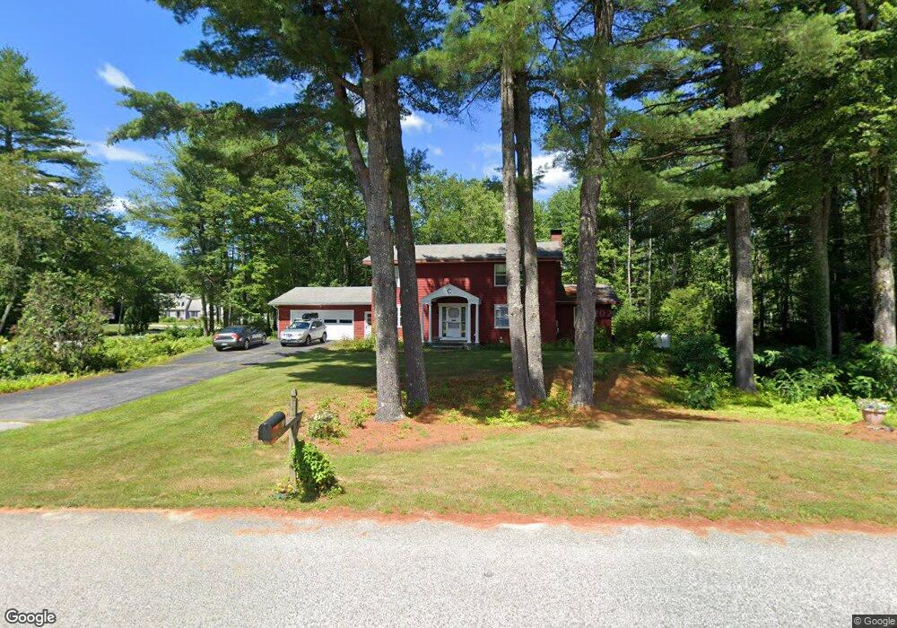
99 Sunderland Dr Auburn, ME 04210
Estimated Value: $453,000 - $560,000
4
Beds
3
Baths
2,584
Sq Ft
$200/Sq Ft
Est. Value
About This Home
This home is located at 99 Sunderland Dr, Auburn, ME 04210 and is currently estimated at $516,027, approximately $199 per square foot. 99 Sunderland Dr is a home located in Androscoggin County with nearby schools including Fairview School, Auburn Middle School, and Edward Little High School.
Create a Home Valuation Report for This Property
The Home Valuation Report is an in-depth analysis detailing your home's value as well as a comparison with similar homes in the area
Home Values in the Area
Average Home Value in this Area
Tax History Compared to Growth
Tax History
| Year | Tax Paid | Tax Assessment Tax Assessment Total Assessment is a certain percentage of the fair market value that is determined by local assessors to be the total taxable value of land and additions on the property. | Land | Improvement |
|---|---|---|---|---|
| 2024 | $7,554 | $339,500 | $57,600 | $281,900 |
| 2023 | $6,866 | $301,800 | $51,200 | $250,600 |
| 2022 | $6,866 | $301,800 | $51,200 | $250,600 |
| 2021 | $5,988 | $251,400 | $42,600 | $208,800 |
| 2020 | $5,971 | $251,400 | $42,600 | $208,800 |
| 2019 | $5,973 | $251,500 | $42,700 | $208,800 |
| 2018 | $5,956 | $251,500 | $42,700 | $208,800 |
| 2017 | $5,184 | $251,500 | $42,700 | $208,800 |
| 2016 | $5,648 | $252,700 | $42,700 | $210,000 |
| 2015 | $5,030 | $252,700 | $42,700 | $210,000 |
| 2013 | -- | $254,900 | $42,700 | $212,200 |
Source: Public Records
Map
Nearby Homes
- 89 Sunderland Dr
- 27 Weatherly Place
- 88 Sunderland Dr
- 117 Sunderland Dr
- 102 Sunderland Dr
- 34 Weatherly Place
- 75 Sunderland Dr
- 60 Sunderland Dr
- 129 Sunderland Dr
- 114 Sunderland Dr
- 35 Weatherly Place
- 48 Weatherly Place
- 44 Sunderland Dr
- 32 Sunderland Dr
- 139 Sunderland Dr
- 63 Sunderland Dr
- 49 Weatherly Place
- 126 Sunderland Dr
- 53 Sunderland Dr
- 37 Sunderland Dr