99 Thompson Rd Senoia, GA 30276
Estimated Value: $447,525 - $619,000
3
Beds
3
Baths
2,122
Sq Ft
$241/Sq Ft
Est. Value
About This Home
This home is located at 99 Thompson Rd, Senoia, GA 30276 and is currently estimated at $510,381, approximately $240 per square foot. 99 Thompson Rd is a home located in Coweta County with nearby schools including Eastside Elementary School, East Coweta Middle School, and East Coweta High School.
Ownership History
Date
Name
Owned For
Owner Type
Purchase Details
Closed on
Jul 7, 2005
Sold by
Neal John A and Neal Scottie
Bought by
Margrave Sara B and Margrave James
Current Estimated Value
Home Financials for this Owner
Home Financials are based on the most recent Mortgage that was taken out on this home.
Original Mortgage
$216,093
Outstanding Balance
$111,927
Interest Rate
5.54%
Mortgage Type
VA
Estimated Equity
$398,454
Purchase Details
Closed on
Jul 3, 2005
Sold by
Neal John Aubrey and Neal S
Bought by
Aubrey Neal John
Home Financials for this Owner
Home Financials are based on the most recent Mortgage that was taken out on this home.
Original Mortgage
$216,093
Outstanding Balance
$111,927
Interest Rate
5.54%
Mortgage Type
VA
Estimated Equity
$398,454
Purchase Details
Closed on
Sep 27, 1991
Bought by
Neal John Aubrey and Neal S
Purchase Details
Closed on
Feb 28, 1986
Bought by
Vega Carl and Vega Sharon V
Create a Home Valuation Report for This Property
The Home Valuation Report is an in-depth analysis detailing your home's value as well as a comparison with similar homes in the area
Home Values in the Area
Average Home Value in this Area
Purchase History
| Date | Buyer | Sale Price | Title Company |
|---|---|---|---|
| Margrave Sara B | $219,500 | -- | |
| Aubrey Neal John | -- | -- | |
| Neal John Aubrey | $115,000 | -- | |
| Vega Carl | $7,500 | -- |
Source: Public Records
Mortgage History
| Date | Status | Borrower | Loan Amount |
|---|---|---|---|
| Open | Margrave Sara B | $216,093 |
Source: Public Records
Tax History Compared to Growth
Tax History
| Year | Tax Paid | Tax Assessment Tax Assessment Total Assessment is a certain percentage of the fair market value that is determined by local assessors to be the total taxable value of land and additions on the property. | Land | Improvement |
|---|---|---|---|---|
| 2024 | $3,180 | $141,573 | $17,559 | $124,014 |
| 2023 | $3,180 | $137,570 | $17,720 | $119,850 |
| 2022 | $2,056 | $88,161 | $16,109 | $72,052 |
| 2021 | $2,028 | $81,703 | $15,342 | $66,361 |
| 2020 | $2,040 | $81,703 | $15,342 | $66,361 |
| 2019 | $1,993 | $72,885 | $18,404 | $54,480 |
| 2018 | $1,997 | $72,885 | $18,404 | $54,480 |
| 2017 | $1,996 | $72,885 | $18,404 | $54,481 |
| 2016 | $1,974 | $72,885 | $18,404 | $54,480 |
| 2015 | $1,944 | $72,885 | $18,404 | $54,480 |
| 2014 | $1,931 | $72,885 | $18,404 | $54,480 |
Source: Public Records
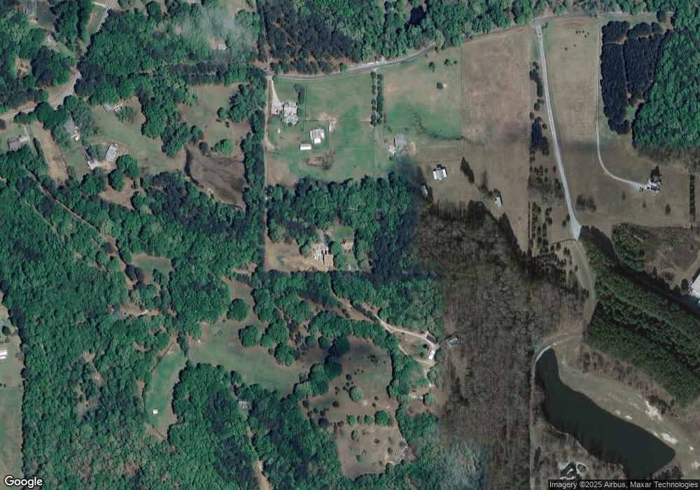
Map
Nearby Homes
- 605 Rowe Rd
- 11084 Mount Carmel Rd
- 1206 Dead Oak Rd
- 265 Staffin Dr
- 295 Staffin Dr
- 315 Staffin Dr
- 164 Rowe Rd
- 20.7 +/- ACRES Hardy Rd
- 469 Rising Star Rd
- 34 Sirius Ln
- 303 Line Creek Rd
- 0 Hardy Rd Unit 25176273
- 1098 Highway 85
- 449 Todd Rd
- 7542 Gordon Rd
- LOT #37 Georgian Pines Dr
- LOT 5 Todd Seven
- LOT 7 Todd Seven
- LOT 3 Todd Seven
- LOT 1 Todd Seven
- 147 Thompson Rd
- 659 Rowe Rd
- 101 Thompson Rd
- 653 Rowe Rd
- 645 Rowe Rd
- 150 Thompson Rd
- 98 Thompson Rd
- 675 Rowe Rd
- 255 Thompson Rd
- 225 Thompson Rd
- 0 Thompson Rd Unit 7195734
- 0 Thompson Rd Unit 7087316
- 0 Thompson Rd Unit 7456348
- 0 Thompson Rd Unit 7456297
- 767 Rowe Rd
- 651 Rowe Rd
- 238 Thompson Rd
- 662 Rowe Rd
- 694 Rowe Rd
- 809 Rowe Rd