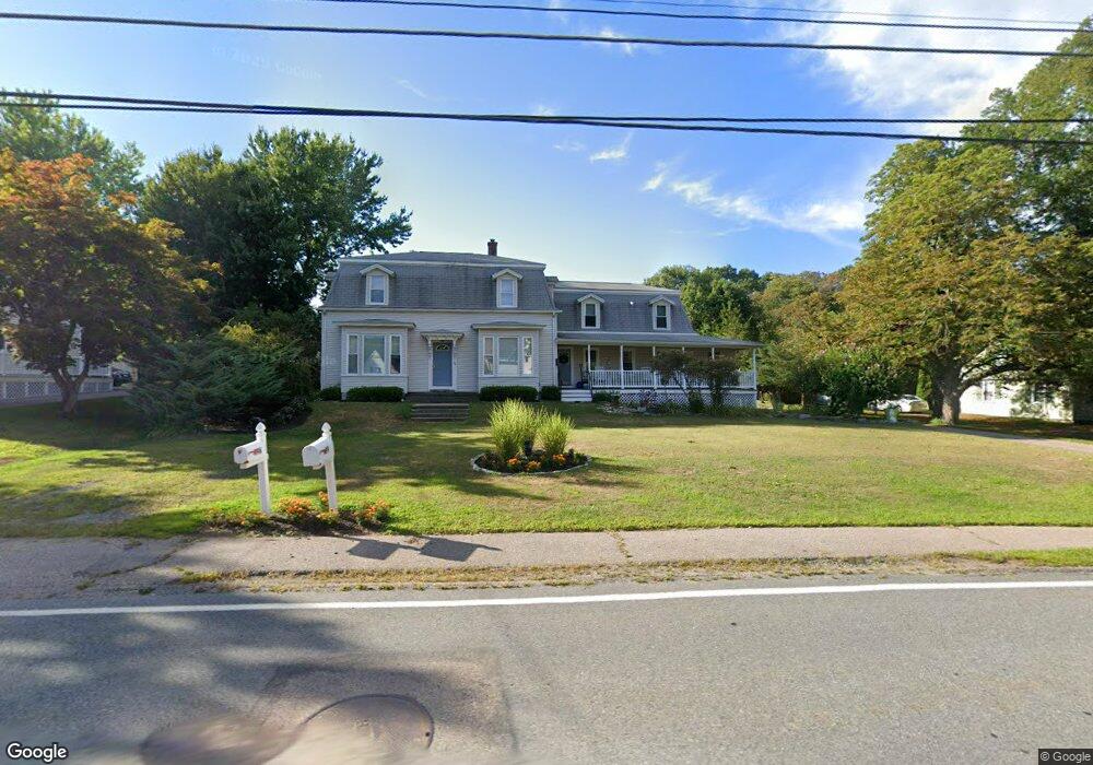
99 W Bacon St Plainville, MA 02762
Estimated Value: $651,447 - $844,000
5
Beds
2
Baths
2,688
Sq Ft
$280/Sq Ft
Est. Value
About This Home
This home is located at 99 W Bacon St, Plainville, MA 02762 and is currently estimated at $751,862, approximately $279 per square foot. 99 W Bacon St is a home located in Norfolk County with nearby schools including Anna Ware Jackson School, Beatrice H. Wood Elementary School, and Cadence Academy Preschool - North Attleborough.
Ownership History
Date
Name
Owned For
Owner Type
Purchase Details
Closed on
May 6, 2002
Sold by
Hallett Susan K
Bought by
Lydon Dennis J and Lydon Valerie D
Current Estimated Value
Home Financials for this Owner
Home Financials are based on the most recent Mortgage that was taken out on this home.
Original Mortgage
$237,500
Outstanding Balance
$101,697
Interest Rate
7.13%
Mortgage Type
Purchase Money Mortgage
Estimated Equity
$650,165
Create a Home Valuation Report for This Property
The Home Valuation Report is an in-depth analysis detailing your home's value as well as a comparison with similar homes in the area
Home Values in the Area
Average Home Value in this Area
Purchase History
| Date | Buyer | Sale Price | Title Company |
|---|---|---|---|
| Lydon Dennis J | $250,000 | -- |
Source: Public Records
Mortgage History
| Date | Status | Borrower | Loan Amount |
|---|---|---|---|
| Open | Lydon Dennis J | $237,500 |
Source: Public Records
Tax History Compared to Growth
Tax History
| Year | Tax Paid | Tax Assessment Tax Assessment Total Assessment is a certain percentage of the fair market value that is determined by local assessors to be the total taxable value of land and additions on the property. | Land | Improvement |
|---|---|---|---|---|
| 2025 | $65 | $560,300 | $216,800 | $343,500 |
| 2024 | $6,682 | $556,800 | $197,300 | $359,500 |
| 2023 | $6,552 | $525,000 | $197,300 | $327,700 |
| 2022 | $5,862 | $417,800 | $189,400 | $228,400 |
| 2021 | $6,142 | $417,800 | $189,400 | $228,400 |
| 2020 | $5,951 | $404,800 | $189,400 | $215,400 |
| 2019 | $6,109 | $408,100 | $189,400 | $218,700 |
| 2018 | $6,063 | $402,600 | $170,600 | $232,000 |
| 2017 | $6,039 | $402,600 | $170,600 | $232,000 |
| 2016 | $5,868 | $395,700 | $170,600 | $225,100 |
| 2015 | $5,912 | $383,400 | $145,900 | $237,500 |
| 2014 | $5,793 | $387,200 | $145,900 | $241,300 |
Source: Public Records
Map
Nearby Homes
- 105 W Bacon St
- 145 W Bacon St
- 10 Cliff Dr
- 16 Elizabeth St
- 3 Field Dr
- 5 Farm Hill Ln
- 45 Moran St
- 230 South St
- 35-R Whiting St
- 20 South St
- 133 Pleasant St Unit 2
- 12 Morgan Way
- 6 Hilltop Rd Unit 122
- 64 Smith St
- 1066 Mount Hope St
- 99 Arnold Rd
- 68 Fisher St
- 8 Al Pace Dr Unit 8
- 19 Church St Unit A5
- 85 Richards Ave
- 91 W Bacon St
- 103 W Bacon St
- 98 W Bacon St
- 94 W Bacon St
- 106 W Bacon St
- 109 W Bacon St
- 111 W Bacon St
- 88 W Bacon St
- 89 W Bacon St
- 89 W Bacon St
- 89 W Bacon St
- 89 W Bacon St
- 110 W Bacon St
- 1 Fletcher St Unit B
- 1 Fletcher St Unit A
- 1 Fletcher St Unit 1B
- 1 Fletcher St Unit 1A
- 5 Valerie Dr
- 112 W Bacon St
- 7 Valerie Dr