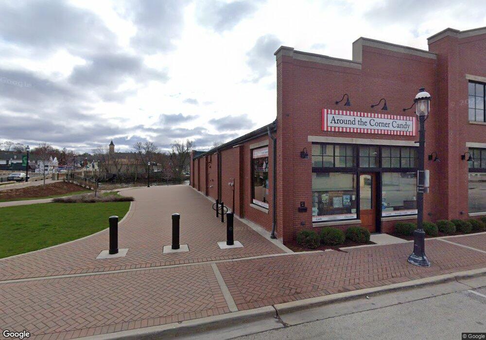
99 W Main St West Dundee, IL 60118
--
Bed
--
Bath
--
Sq Ft
2,396
Sq Ft Lot
About This Home
This home is located at 99 W Main St, West Dundee, IL 60118. 99 W Main St is a home located in Kane County with nearby schools including Dundee Highlands Elementary School, Dundee Middle School, and Dundee-Crown High School.
Ownership History
Date
Name
Owned For
Owner Type
Purchase Details
Closed on
Jan 14, 2016
Sold by
Chamber Llc
Bought by
Village Of West Dundee
Purchase Details
Closed on
Jan 12, 2016
Sold by
Chicago Title Land Trust Company
Bought by
Village Of West Dundee
Purchase Details
Closed on
Jun 27, 2001
Sold by
Schneider Ralph W and Schneider Mai L
Bought by
Chamber Llc
Home Financials for this Owner
Home Financials are based on the most recent Mortgage that was taken out on this home.
Original Mortgage
$230,000
Interest Rate
7.5%
Mortgage Type
Commercial
Create a Home Valuation Report for This Property
The Home Valuation Report is an in-depth analysis detailing your home's value as well as a comparison with similar homes in the area
Home Values in the Area
Average Home Value in this Area
Purchase History
| Date | Buyer | Sale Price | Title Company |
|---|---|---|---|
| Village Of West Dundee | -- | Chicago Title Insurance Co | |
| Village Of West Dundee | $550,000 | Chicago Title Insurance Co | |
| Chamber Llc | $140,000 | Attorneys Title |
Source: Public Records
Mortgage History
| Date | Status | Borrower | Loan Amount |
|---|---|---|---|
| Previous Owner | Chamber Llc | $230,000 |
Source: Public Records
Tax History Compared to Growth
Tax History
| Year | Tax Paid | Tax Assessment Tax Assessment Total Assessment is a certain percentage of the fair market value that is determined by local assessors to be the total taxable value of land and additions on the property. | Land | Improvement |
|---|---|---|---|---|
| 2024 | -- | -- | -- | -- |
| 2023 | -- | -- | -- | -- |
| 2022 | $0 | $0 | $0 | $0 |
| 2021 | $2,490 | $0 | $0 | $0 |
| 2020 | $0 | $0 | $0 | $0 |
| 2019 | $2,490 | $0 | $0 | $0 |
| 2018 | $0 | $0 | $0 | $0 |
| 2017 | $0 | $0 | $0 | $0 |
| 2016 | $2,490 | $23,332 | $7,834 | $15,498 |
| 2015 | -- | $21,863 | $7,341 | $14,522 |
| 2014 | -- | $21,259 | $7,138 | $14,121 |
| 2013 | -- | $21,910 | $7,357 | $14,553 |
Source: Public Records
Map
Nearby Homes
- 112 Liberty St
- 93 Liberty St
- 7 King William St
- 505 S 3rd St
- 516 S 1st St
- 512 Lisa Rd
- Lot 1 View St
- 436 Barrington Ave
- 4 Summit St
- 432 Illinois St
- 510 N Van Buren St
- 560 S 5th St
- 519 Oak Dr
- 152 King Ave
- 0000 Strom Dr
- 709 Timothy Ct Unit 171
- 849 Hemlock Dr
- 152 Aberdeen Dr
- 1 S Lincoln Ave
- 43 N Green St
- 101 W Main St
- 101 S 1st St
- 89 W Main St Unit 203
- 89 W Main St Unit 102
- 89 W Main St Unit 103
- 89 W Main St Unit 201
- 89 W Main St Unit 204
- 89 W Main St Unit 101
- 107 S 1st St
- 106 W Main St Unit A-B
- 109 W Main St Unit B
- 109 W Main St Unit A
- 102 W Main St
- 110 W Main St
- 111 W Main St
- 104 W Main St
- 114 W Main St
- 119 W Main St Unit LL2
- 119 W Main St Unit 201
- 119 W Main St Unit 100