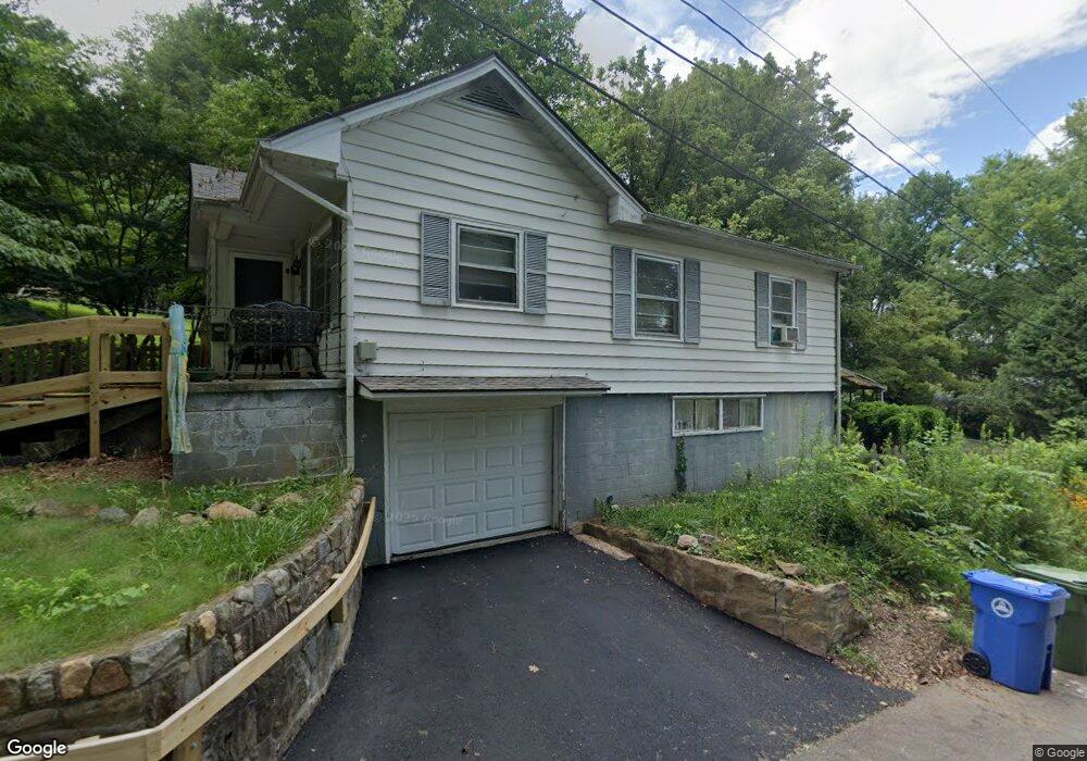
99 Wamboldt Ave Asheville, NC 28806
West Asheville NeighborhoodEstimated Value: $391,000 - $465,000
2
Beds
1
Bath
912
Sq Ft
$470/Sq Ft
Est. Value
About This Home
This home is located at 99 Wamboldt Ave, Asheville, NC 28806 and is currently estimated at $428,347, approximately $469 per square foot. 99 Wamboldt Ave is a home located in Buncombe County with nearby schools including Hall Fletcher Elementary, Isaac Dickson Elementary, and Ira B Jones Elementary.
Ownership History
Date
Name
Owned For
Owner Type
Purchase Details
Closed on
Jan 25, 2000
Sold by
Masters Roy E and Masters Lori H
Bought by
Ocasio Victor M
Current Estimated Value
Home Financials for this Owner
Home Financials are based on the most recent Mortgage that was taken out on this home.
Original Mortgage
$89,900
Outstanding Balance
$29,827
Interest Rate
8.21%
Mortgage Type
VA
Estimated Equity
$398,520
Purchase Details
Closed on
Apr 8, 1996
Sold by
King Thomas A
Bought by
Masters and Masters
Create a Home Valuation Report for This Property
The Home Valuation Report is an in-depth analysis detailing your home's value as well as a comparison with similar homes in the area
Home Values in the Area
Average Home Value in this Area
Purchase History
| Date | Buyer | Sale Price | Title Company |
|---|---|---|---|
| Ocasio Victor M | $90,000 | -- | |
| Masters | $56,000 | -- |
Source: Public Records
Mortgage History
| Date | Status | Borrower | Loan Amount |
|---|---|---|---|
| Open | Ocasio Victor M | $89,900 |
Source: Public Records
Tax History Compared to Growth
Tax History
| Year | Tax Paid | Tax Assessment Tax Assessment Total Assessment is a certain percentage of the fair market value that is determined by local assessors to be the total taxable value of land and additions on the property. | Land | Improvement |
|---|---|---|---|---|
| 2025 | -- | $246,300 | $130,300 | $116,000 |
| 2024 | -- | $246,300 | $130,300 | $116,000 |
| 2023 | $2,481 | $246,300 | $130,300 | $116,000 |
| 2022 | $2,456 | $246,300 | $0 | $0 |
| 2021 | $2,456 | $246,300 | $0 | $0 |
| 2020 | $1,935 | $179,500 | $0 | $0 |
| 2019 | $1,935 | $179,500 | $0 | $0 |
| 2018 | $1,935 | $179,500 | $0 | $0 |
| 2017 | $1,953 | $136,100 | $0 | $0 |
| 2016 | $1,673 | $136,100 | $0 | $0 |
| 2015 | $1,673 | $136,100 | $0 | $0 |
| 2014 | $1,652 | $136,100 | $0 | $0 |
Source: Public Records
Map
Nearby Homes
- 253 Haywood Rd
- 40 Brownwood Ave
- 9 Pennsylvania Ave
- 315 Haywood Rd Unit 111/211
- 107 Riverview Dr
- 104 Deaver St
- 65 Garden Cir
- 20 Grandview Dr
- 32 Grandview Dr
- 140 Waynesville Ave
- 345 Riverview Dr
- 266 Waynesville Ave
- 34 Bradley St
- 30 Waynesville Ave Unit 22
- 259 Waynesville Ave Unit 1
- 112 Swannanoa Ave
- 135 Swannanoa Ave
- 12 Mountain Song Ln
- 16 Mountain Song Ln
- 31 Westwood Place
- 120 Brownwood Ave
- 57 Beverly Rd W
- 167 Euclid Blvd
- 77 Wamboldt Ave
- 106 Brownwood Ave
- 999 Wamboldt Ave
- 63 Beverly Rd W
- 73 Beverly Rd W
- 84 Wamboldt Ave
- 85 Brownwood Ave
- 201 Riverview Dr
- 75 Wamboldt Ave
- 163 Euclid Blvd
- 80 Brownwood Ave
- 35 Beverly Rd W
- 81 Brownwood Ave
- 193 Riverview Dr
- 56 Beverly Rd W
- 50 Beverly Rd W
- 187 Riverview Dr