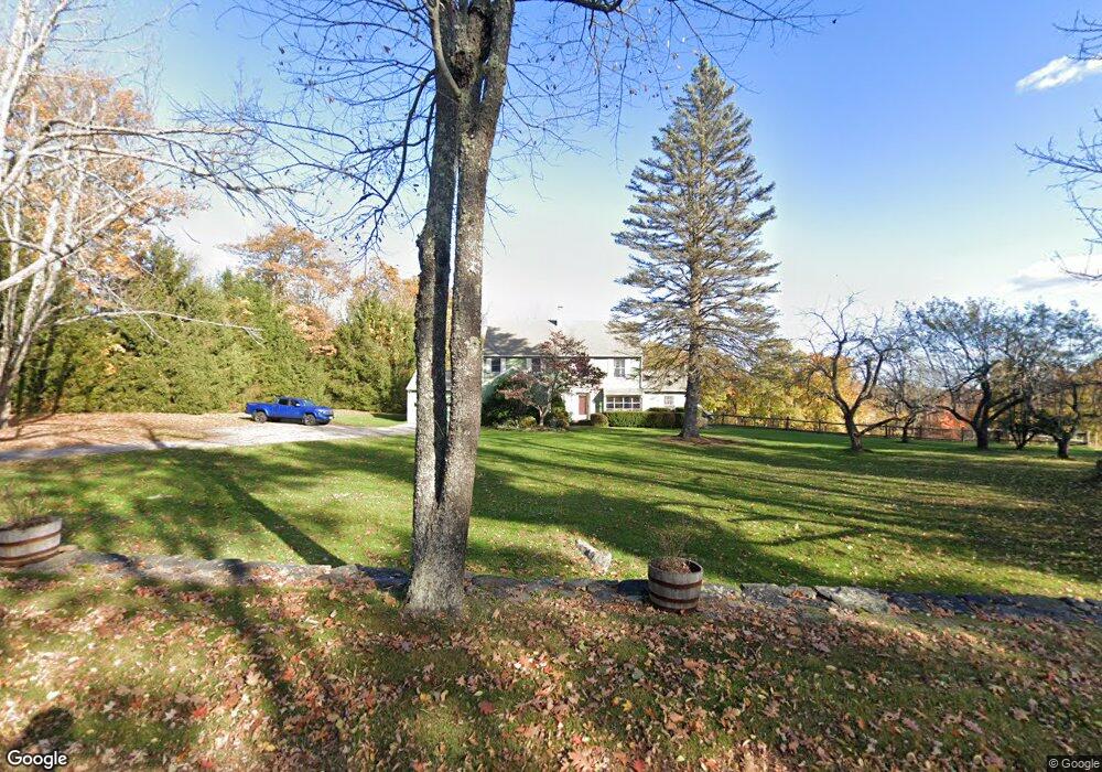
99 Worcester Rd Princeton, MA 01541
Estimated Value: $713,515 - $784,000
3
Beds
4
Baths
3,218
Sq Ft
$233/Sq Ft
Est. Value
About This Home
This home is located at 99 Worcester Rd, Princeton, MA 01541 and is currently estimated at $749,838, approximately $233 per square foot. 99 Worcester Rd is a home located in Worcester County with nearby schools including Wachusett Regional High School.
Ownership History
Date
Name
Owned For
Owner Type
Purchase Details
Closed on
Jun 18, 2020
Sold by
Jacobson Bruce B
Bought by
Bruce B Jacobson Ret 2020
Current Estimated Value
Purchase Details
Closed on
Feb 29, 2016
Sold by
Jacobson Bruce B and Jacobson Maria B
Bought by
Jacobson Bruce B
Create a Home Valuation Report for This Property
The Home Valuation Report is an in-depth analysis detailing your home's value as well as a comparison with similar homes in the area
Home Values in the Area
Average Home Value in this Area
Purchase History
| Date | Buyer | Sale Price | Title Company |
|---|---|---|---|
| Bruce B Jacobson Ret 2020 | -- | None Available | |
| Jacobson Bruce B | -- | -- |
Source: Public Records
Tax History
| Year | Tax Paid | Tax Assessment Tax Assessment Total Assessment is a certain percentage of the fair market value that is determined by local assessors to be the total taxable value of land and additions on the property. | Land | Improvement |
|---|---|---|---|---|
| 2025 | $8,673 | $596,900 | $156,900 | $440,000 |
| 2024 | $8,238 | $587,200 | $154,300 | $432,900 |
| 2023 | $7,511 | $496,100 | $123,100 | $373,000 |
| 2022 | $7,210 | $459,800 | $123,100 | $336,700 |
| 2021 | $7,020 | $435,500 | $123,100 | $312,400 |
| 2020 | $6,795 | $428,700 | $123,100 | $305,600 |
| 2019 | $6,768 | $422,500 | $120,200 | $302,300 |
| 2018 | $2,893 | $375,300 | $101,500 | $273,800 |
| 2017 | $4,153 | $353,500 | $145,800 | $207,700 |
| 2016 | $6,748 | $379,100 | $145,800 | $233,300 |
| 2015 | $6,564 | $379,400 | $148,200 | $231,200 |
Source: Public Records
Map
Nearby Homes
- 100 Brooks Station Rd
- 9 Stagecoach Rd
- 20 Mountain Rd
- 13 Goodnow Rd
- 134 Mountain Rd
- 56 Hubbardston Rd
- 376 Elmwood Ave
- 386 Redemption Rock Trail
- 147 E County Rd Unit 149
- 139 E County Rd Unit 139
- 0 North St
- 569 E County Rd
- 45 Old Colony Rd
- 186 Justice Hill Rd Unit Oakmont
- 186 Justice Hill Rd Unit Mod Farm
- 287 Laurel St
- 45 Neylon St
- 146 Hosmer St
- 129 Quinapoxet St
- 61 Boutelle Rd
- 105 Worcester Rd
- 83 Worcester Rd
- 73 Worcester Rd
- 66 Worcester Rd
- 138 Worcester Rd
- 133 Worcester Rd
- 135 Worcester Rd
- 64 Worcester Rd
- 65 Worcester Rd
- 62 Worcester Rd
- 144 Worcester Rd
- 60 Worcester Rd
- 57 Worcester Rd
- 58 Worcester Rd
- 147 Worcester Rd
- 53 Worcester Rd
- L-46 Worcester Rd
- 46 Worcester Rd
- 0 Worcester Rd
- 153 Worcester Rd
Your Personal Tour Guide
Ask me questions while you tour the home.