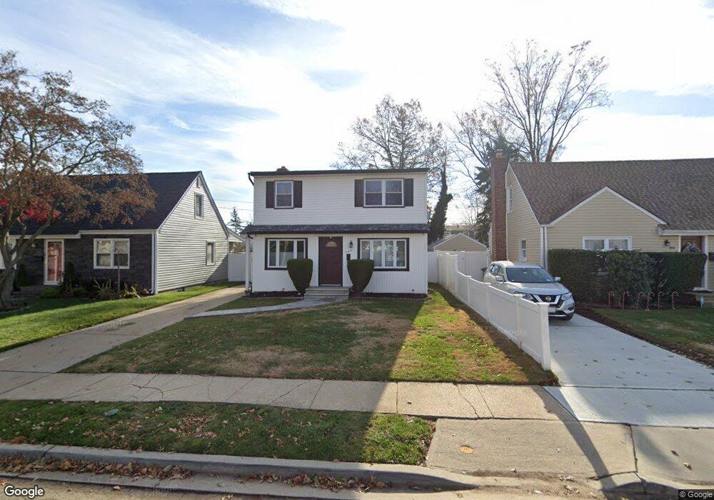
990 Clyde Rd North Baldwin, NY 11510
Estimated Value: $698,194 - $821,000
Studio
2
Baths
1,600
Sq Ft
$475/Sq Ft
Est. Value
About This Home
This home is located at 990 Clyde Rd, North Baldwin, NY 11510 and is currently estimated at $759,597, approximately $474 per square foot. 990 Clyde Rd is a home located in Nassau County with nearby schools including Baldwin Senior High School.
Ownership History
Date
Name
Owned For
Owner Type
Purchase Details
Closed on
Feb 12, 2010
Sold by
Golding Gilbert and Golding Brenda
Bought by
Brown Andrew M and Brown Chamaine N
Current Estimated Value
Home Financials for this Owner
Home Financials are based on the most recent Mortgage that was taken out on this home.
Original Mortgage
$313,200
Outstanding Balance
$212,101
Interest Rate
5.5%
Mortgage Type
FHA
Estimated Equity
$547,496
Purchase Details
Closed on
Sep 1, 2006
Sold by
Mcleod Christopher
Bought by
Golding Gilbert
Create a Home Valuation Report for This Property
The Home Valuation Report is an in-depth analysis detailing your home's value as well as a comparison with similar homes in the area
Home Values in the Area
Average Home Value in this Area
Purchase History
| Date | Buyer | Sale Price | Title Company |
|---|---|---|---|
| Brown Andrew M | $319,000 | -- | |
| Golding Gilbert | $425,000 | -- |
Source: Public Records
Mortgage History
| Date | Status | Borrower | Loan Amount |
|---|---|---|---|
| Open | Brown Andrew M | $313,200 |
Source: Public Records
Tax History
| Year | Tax Paid | Tax Assessment Tax Assessment Total Assessment is a certain percentage of the fair market value that is determined by local assessors to be the total taxable value of land and additions on the property. | Land | Improvement |
|---|---|---|---|---|
| 2025 | $14,063 | $456 | $132 | $324 |
| 2024 | $3,252 | $431 | $121 | $310 |
| 2023 | $10,522 | $444 | $124 | $320 |
| 2022 | $10,522 | $472 | $132 | $340 |
| 2021 | $14,817 | $458 | $128 | $330 |
| 2020 | $10,212 | $537 | $493 | $44 |
| 2019 | $8,971 | $537 | $426 | $111 |
| 2018 | $8,391 | $622 | $0 | $0 |
| 2017 | $5,989 | $622 | $493 | $129 |
| 2016 | $8,986 | $622 | $398 | $224 |
| 2015 | $2,845 | $622 | $398 | $224 |
| 2014 | $2,845 | $622 | $398 | $224 |
| 2013 | $3,302 | $771 | $493 | $278 |
Source: Public Records
Map
Nearby Homes
- 1008 Wood Park Dr
- 1091 Cramer Ct
- 7 Mayfair Rd
- 62 Alhambra Rd
- 1426 Forest Ave
- 1154 Cramer Ct
- 31 Cedar St
- 1023 Schuman Place
- 896 School Dr
- 1459 Prince St
- 891 School Dr
- 819 Edward St
- 27 Wilbur Ln
- 815 Grand Terrace Ave
- 831 Dean Dr
- 87 W Clinton Ave
- 156 Brookside Ave
- 325 Pennsylvania Ave
- 76 Henry St
- 740 Wesley St
- 986 Clyde Rd
- 994 Clyde Rd
- 980 Clyde Rd
- 991 Alhambra Rd
- 985 Alhambra Rd
- 997 Alhambra Rd
- 1316 Circle Dr W
- 981 Alhambra Rd
- 1334 Circle Dr W
- 976 Clyde Rd
- 993 Clyde Rd
- 1308 Coronet Dr
- 975 Alhambra Rd
- 970 Clyde Rd
- 975 Clyde Rd
- 1297 Coronet Dr
- 971 Alhambra Rd
- 1315 Circle Dr W
- 1335 Circle Dr W
- 1292 Coronet Dr
Your Personal Tour Guide
Ask me questions while you tour the home.