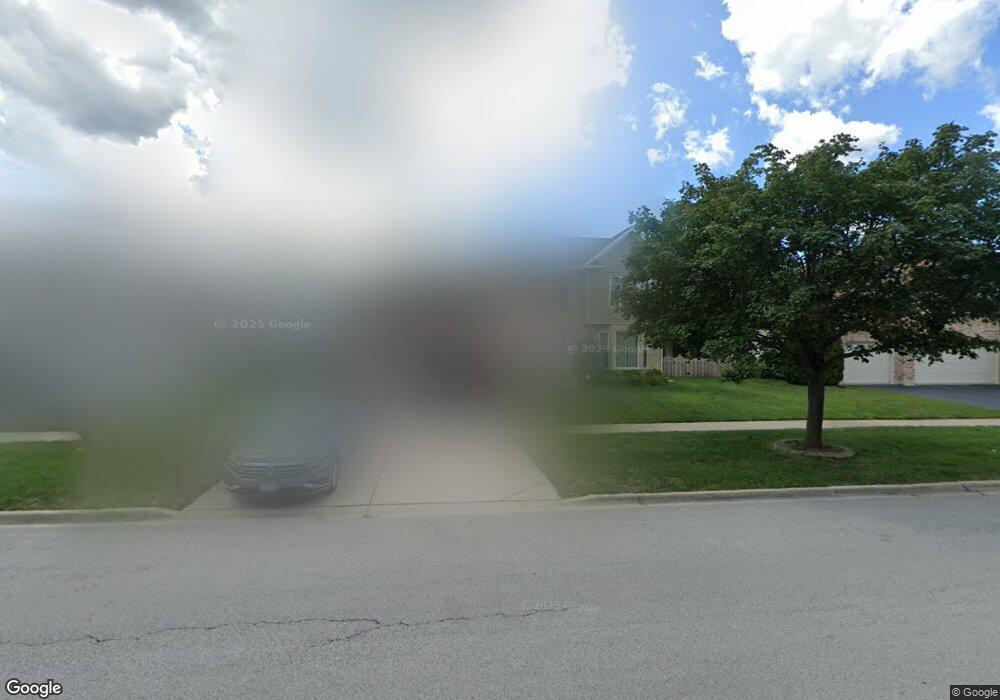
990 Harmon Blvd Hoffman Estates, IL 60169
South Hoffman Estates NeighborhoodEstimated Value: $621,282 - $700,000
3
Beds
3
Baths
2,474
Sq Ft
$272/Sq Ft
Est. Value
About This Home
This home is located at 990 Harmon Blvd, Hoffman Estates, IL 60169 and is currently estimated at $672,821, approximately $271 per square foot. 990 Harmon Blvd is a home located in Cook County with nearby schools including Hoover Math And Science Academy, Helen Keller Junior High School, and Hoffman Estates High School.
Ownership History
Date
Name
Owned For
Owner Type
Purchase Details
Closed on
Feb 10, 2012
Sold by
Morton Roger K
Bought by
Solarczyk Darek E and Solarczyk Elizane
Current Estimated Value
Home Financials for this Owner
Home Financials are based on the most recent Mortgage that was taken out on this home.
Original Mortgage
$252,800
Outstanding Balance
$171,299
Interest Rate
3.89%
Mortgage Type
New Conventional
Estimated Equity
$501,522
Create a Home Valuation Report for This Property
The Home Valuation Report is an in-depth analysis detailing your home's value as well as a comparison with similar homes in the area
Home Values in the Area
Average Home Value in this Area
Purchase History
| Date | Buyer | Sale Price | Title Company |
|---|---|---|---|
| Solarczyk Darek E | $316,000 | Commonwealth Land Title Insu |
Source: Public Records
Mortgage History
| Date | Status | Borrower | Loan Amount |
|---|---|---|---|
| Open | Solarczyk Darek E | $252,800 |
Source: Public Records
Tax History
| Year | Tax Paid | Tax Assessment Tax Assessment Total Assessment is a certain percentage of the fair market value that is determined by local assessors to be the total taxable value of land and additions on the property. | Land | Improvement |
|---|---|---|---|---|
| 2025 | $13,099 | $57,000 | $13,440 | $43,560 |
| 2024 | $13,099 | $46,000 | $12,600 | $33,400 |
| 2023 | $12,646 | $46,000 | $12,600 | $33,400 |
| 2022 | $12,646 | $46,000 | $12,600 | $33,400 |
| 2021 | $11,815 | $38,595 | $11,130 | $27,465 |
| 2020 | $11,613 | $38,595 | $11,130 | $27,465 |
| 2019 | $11,551 | $42,884 | $11,130 | $31,754 |
| 2018 | $10,097 | $34,400 | $9,450 | $24,950 |
| 2017 | $9,936 | $34,400 | $9,450 | $24,950 |
| 2016 | $9,505 | $34,400 | $9,450 | $24,950 |
| 2015 | $9,307 | $31,600 | $8,190 | $23,410 |
| 2014 | $9,160 | $31,600 | $8,190 | $23,410 |
| 2013 | $10,685 | $37,383 | $8,190 | $29,193 |
Source: Public Records
Map
Nearby Homes
- 1103 Southbridge Ln
- 845 Harmon Blvd
- 1708 Southbridge Ct
- 1975 Leiter Way Unit 12002
- 1987 Leiter Way Unit 11003
- 1982 Leiter Way Unit 13004
- 1985 Leiter Way Unit 1102
- 1988 Leiter Way Unit 13001
- 1979 Leiter Way Unit 12004
- 1981 Leiter Way Unit 12005
- 1994 Leiter Way Unit 14003
- 1977 Leiter Way Unit 12003
- 1986 Leiter Way Unit 13002
- 1989 Leiter Way Unit 11004
- 1803 Dumont Ln Unit 3
- 819 Mansfield Ct Unit 2
- 1365 Newcastle Ln
- 1335 Blair Ln
- 1975 Windsong Dr Unit 333E1
- 1500 Robin Cir Unit 314
- 980 Harmon Blvd
- 1000 Harmon Blvd
- 965 Sweetflower Dr
- 971 Sweetflower Dr
- 961 Sweetflower Dr
- 1015 Sweetflower Dr
- 975 Sweetflower Dr
- 955 Sweetflower Dr
- 981 Sweetflower Dr
- 951 Sweetflower Dr
- 1010 Harmon Blvd
- 985 Sweetflower Dr
- 970 Harmon Blvd
- 945 Sweetflower Dr
- 991 Sweetflower Dr
- 965 Harmon Blvd
- 995 Sweetflower Dr
- 1020 Harmon Blvd
- 935 Sweetflower Dr
- 1001 Sweetflower Dr
Your Personal Tour Guide
Ask me questions while you tour the home.