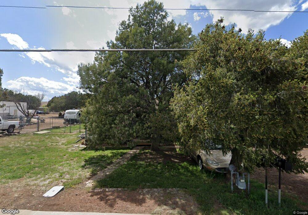
990 N Central Ave Show Low, AZ 85901
Estimated Value: $309,838 - $390,000
--
Bed
--
Bath
1,628
Sq Ft
$217/Sq Ft
Est. Value
About This Home
This home is located at 990 N Central Ave, Show Low, AZ 85901 and is currently estimated at $353,210, approximately $216 per square foot. 990 N Central Ave is a home located in Navajo County with nearby schools including Whipple Ranch Elementary School, Show Low High School, and Show Low Junior High School.
Ownership History
Date
Name
Owned For
Owner Type
Purchase Details
Closed on
May 25, 2005
Sold by
Ochlerking Donald Jake and Oehlerking Anne M
Bought by
Grodi Thomas G and Fisher Phyllis A
Current Estimated Value
Home Financials for this Owner
Home Financials are based on the most recent Mortgage that was taken out on this home.
Original Mortgage
$68,000
Outstanding Balance
$35,456
Interest Rate
5.84%
Mortgage Type
Seller Take Back
Estimated Equity
$317,754
Purchase Details
Closed on
Mar 2, 2005
Sold by
Fisher Phyllis Ann and Maurer Mary Ellen
Bought by
Ds & Gh Development Llc
Home Financials for this Owner
Home Financials are based on the most recent Mortgage that was taken out on this home.
Original Mortgage
$280,000
Interest Rate
5.7%
Mortgage Type
Seller Take Back
Create a Home Valuation Report for This Property
The Home Valuation Report is an in-depth analysis detailing your home's value as well as a comparison with similar homes in the area
Home Values in the Area
Average Home Value in this Area
Purchase History
| Date | Buyer | Sale Price | Title Company |
|---|---|---|---|
| Grodi Thomas G | $85,000 | Trasnation Title | |
| Ds & Gh Development Llc | $195,000 | Transnation Title |
Source: Public Records
Mortgage History
| Date | Status | Borrower | Loan Amount |
|---|---|---|---|
| Open | Grodi Thomas G | $68,000 | |
| Previous Owner | Ds & Gh Development Llc | $280,000 |
Source: Public Records
Tax History Compared to Growth
Tax History
| Year | Tax Paid | Tax Assessment Tax Assessment Total Assessment is a certain percentage of the fair market value that is determined by local assessors to be the total taxable value of land and additions on the property. | Land | Improvement |
|---|---|---|---|---|
| 2026 | $1,212 | -- | -- | -- |
| 2025 | $1,192 | $25,859 | $4,240 | $21,619 |
| 2024 | $1,332 | $25,982 | $4,240 | $21,742 |
| 2023 | $1,192 | $19,772 | $2,834 | $16,938 |
| 2022 | $1,332 | $0 | $0 | $0 |
| 2021 | $1,333 | $0 | $0 | $0 |
| 2020 | $1,253 | $0 | $0 | $0 |
| 2019 | $1,249 | $0 | $0 | $0 |
| 2018 | $1,192 | $0 | $0 | $0 |
| 2017 | $1,101 | $0 | $0 | $0 |
| 2016 | $1,085 | $0 | $0 | $0 |
| 2015 | $1,018 | $8,883 | $1,757 | $7,126 |
Source: Public Records
Map
Nearby Homes
- 961 N Kiaya Ln
- 500 E Adams
- 660 N 5th Dr
- 801 N 6th Dr
- 0 Spyglass Dr Unit 254740
- 181 N 6th Dr
- 81 N 4th St
- 461 N 9th Dr
- 857 E Cooley St
- TBD E Ellsworth Rd
- 221 N Canyon Loop
- 201 N Canyon Loop
- 140 W Nikolaus
- 261 N Canyon Loop
- 261 N Fox Run
- 1191 E Deuce of Clubs
- 40 N Canyon Loop
- 201 S 6th Place
- 541 W Deuce of Clubs
- 40 Timber Ridge Loop
- 1000 N Central Ave
- 951 N Central Ave
- 1051 N 1st Ave
- 1091 N 1st Ave
- 1090 N Central Ave
- 1000 N 1st Ave
- 902 N 1st Ave
- 1141 N Kiaya Ln
- 1050 N 1st Ave
- 10 W Old Linden Rd
- 0 N 1st Ave
- 900 N 1st Ave
- 1100 N Central Ave
- 1121 N Kiaya Ln
- 1120 N Central Ave
- 860 N 1st Ave
- 200 W Crystal Cir
- 1140 N Kiaya Ln
- 840 N 1st Ave
- 1101 N Kiaya Ln