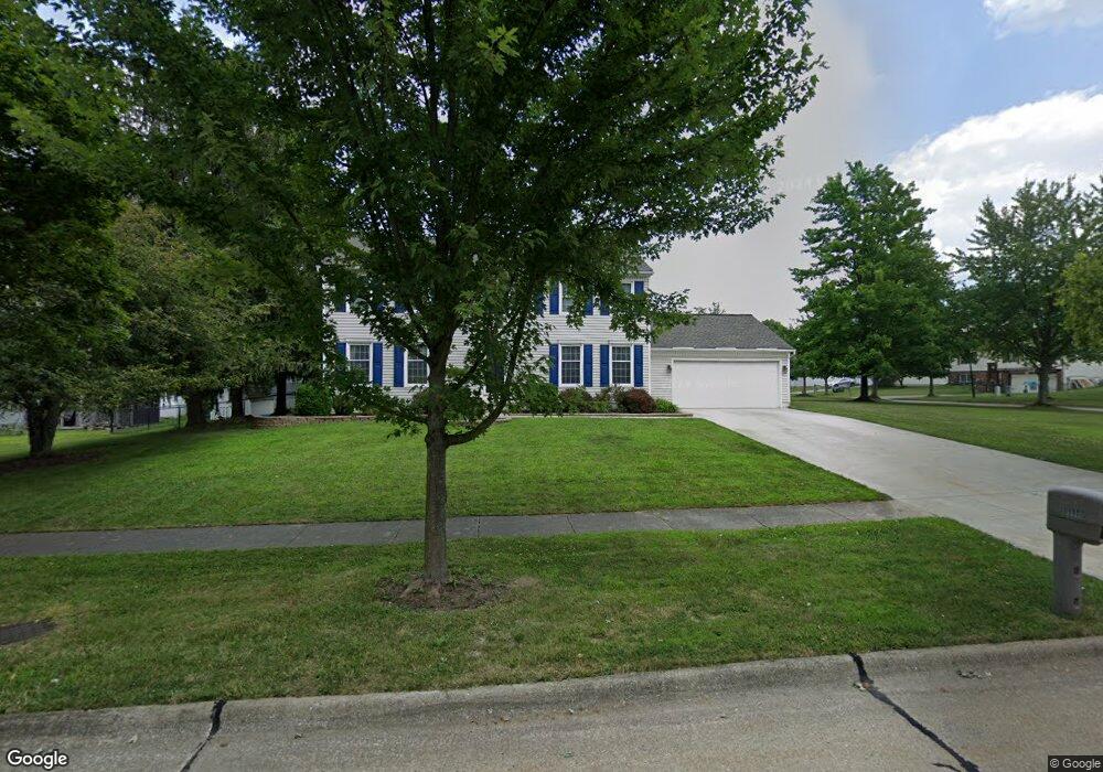
990 Pheasant Run Dr Medina, OH 44256
Estimated Value: $346,324 - $394,000
4
Beds
3
Baths
2,352
Sq Ft
$158/Sq Ft
Est. Value
About This Home
This home is located at 990 Pheasant Run Dr, Medina, OH 44256 and is currently estimated at $372,331, approximately $158 per square foot. 990 Pheasant Run Dr is a home located in Medina County with nearby schools including Heritage Elementary School, Claggett Middle School, and Medina High School.
Ownership History
Date
Name
Owned For
Owner Type
Purchase Details
Closed on
Dec 31, 2008
Sold by
Garrison Robert
Bought by
Dubsky David J
Current Estimated Value
Purchase Details
Closed on
Jun 25, 2008
Sold by
Grotsky Charles K and Grotsky Theresa A
Bought by
Garrison Robert
Home Financials for this Owner
Home Financials are based on the most recent Mortgage that was taken out on this home.
Original Mortgage
$144,000
Interest Rate
6.1%
Mortgage Type
Future Advance Clause Open End Mortgage
Create a Home Valuation Report for This Property
The Home Valuation Report is an in-depth analysis detailing your home's value as well as a comparison with similar homes in the area
Home Values in the Area
Average Home Value in this Area
Purchase History
| Date | Buyer | Sale Price | Title Company |
|---|---|---|---|
| Dubsky David J | $178,500 | -- | |
| Garrison Robert | -- | -- | |
| Garrison Robert | $180,000 | -- |
Source: Public Records
Mortgage History
| Date | Status | Borrower | Loan Amount |
|---|---|---|---|
| Previous Owner | Garrison Robert | $144,000 |
Source: Public Records
Tax History Compared to Growth
Tax History
| Year | Tax Paid | Tax Assessment Tax Assessment Total Assessment is a certain percentage of the fair market value that is determined by local assessors to be the total taxable value of land and additions on the property. | Land | Improvement |
|---|---|---|---|---|
| 2024 | $4,455 | $89,590 | $22,230 | $67,360 |
| 2023 | $4,455 | $89,590 | $22,230 | $67,360 |
| 2022 | $3,823 | $89,590 | $22,230 | $67,360 |
| 2021 | $3,573 | $70,540 | $17,500 | $53,040 |
| 2020 | $3,602 | $70,540 | $17,500 | $53,040 |
| 2019 | $3,538 | $70,540 | $17,500 | $53,040 |
| 2018 | $3,107 | $57,720 | $14,130 | $43,590 |
| 2017 | $3,151 | $57,720 | $14,130 | $43,590 |
| 2016 | $3,245 | $57,720 | $14,130 | $43,590 |
| 2015 | $3,090 | $52,460 | $12,840 | $39,620 |
| 2014 | $3,081 | $52,460 | $12,840 | $39,620 |
| 2013 | $3,085 | $52,460 | $12,840 | $39,620 |
Source: Public Records
Map
Nearby Homes
- 977 Guilford Blvd
- 794 Sturbridge Dr
- 1098 Sunhaven Dr
- 0 Wadsworth Rd
- 933 Mallet Hill Ct
- 1038 Concord Dr
- 1107 Wadsworth Rd
- 1038 Charleton Dr
- 745 Brookledge Dr
- 430 Charleton Dr
- 720 Deepwood Dr
- 5798 Churchill Way
- 5532 Brook Run Dr
- 928 Lancaster Dr
- 5781 New Haven Dr
- 1027 E Smith Rd
- 5950 Churchill Way
- 895 Lancaster Dr
- 1052 Salem Ct
- 830 Ridgeview Dr
- 951 Brookpoint Dr
- 980 Pheasant Run Dr
- 955 Brookpoint Dr
- 948 Oakbrooke Dr
- 985 Pheasant Run Dr
- 993 Pheasant Run Dr
- 944 Brookpoint Dr
- 977 Pheasant Run Dr
- 952 Oakbrooke Dr
- 948 Brookpoint Dr
- 999 Pheasant Run Dr
- 959 Brookpoint Dr
- 973 Pheasant Run Dr
- 952 Brookpoint Dr
- 958 Oakbrooke Dr
- 958 Brookpoint Dr
- 967 Brookpoint Dr
- 911 Sturbridge Dr
- 957 Sturbridge Dr
- 996 Guilford Blvd