990 Robin Hood Ave Eugene, OR 97401
Cal Young NeighborhoodEstimated Value: $495,840 - $577,000
3
Beds
2
Baths
1,843
Sq Ft
$296/Sq Ft
Est. Value
About This Home
This home is located at 990 Robin Hood Ave, Eugene, OR 97401 and is currently estimated at $546,210, approximately $296 per square foot. 990 Robin Hood Ave is a home located in Lane County with nearby schools including Willagillespie Elementary School, Cal Young Middle School, and Sheldon High School.
Ownership History
Date
Name
Owned For
Owner Type
Purchase Details
Closed on
Jun 19, 2025
Sold by
Johnson Gayl and Johnson Ronald
Bought by
Ronald And Gayl Johnson Joint Trust and Johnson
Current Estimated Value
Purchase Details
Closed on
Apr 17, 2025
Sold by
Frances I Saylor Trust and Saylor Clyde C
Bought by
Johnson Gayl and Johnson Ronald
Purchase Details
Closed on
Dec 4, 2015
Sold by
Saylor Frances I and Saylor Clyde C
Bought by
Saylor Frances I and Frances I Saylor Trust
Create a Home Valuation Report for This Property
The Home Valuation Report is an in-depth analysis detailing your home's value as well as a comparison with similar homes in the area
Home Values in the Area
Average Home Value in this Area
Purchase History
| Date | Buyer | Sale Price | Title Company |
|---|---|---|---|
| Ronald And Gayl Johnson Joint Trust | -- | None Listed On Document | |
| Johnson Gayl | -- | None Listed On Document | |
| Saylor Frances I | -- | None Available |
Source: Public Records
Tax History
| Year | Tax Paid | Tax Assessment Tax Assessment Total Assessment is a certain percentage of the fair market value that is determined by local assessors to be the total taxable value of land and additions on the property. | Land | Improvement |
|---|---|---|---|---|
| 2025 | $5,200 | $266,903 | -- | -- |
| 2024 | $4,152 | $235,038 | -- | -- |
| 2023 | $4,152 | $228,193 | -- | -- |
| 2022 | $3,890 | $221,547 | $0 | $0 |
| 2021 | $3,653 | $215,095 | $0 | $0 |
| 2020 | $3,666 | $208,831 | $0 | $0 |
| 2019 | $3,541 | $202,749 | $0 | $0 |
| 2018 | $3,333 | $191,111 | $0 | $0 |
| 2017 | $3,184 | $191,111 | $0 | $0 |
| 2016 | $3,078 | $185,545 | $0 | $0 |
| 2015 | $2,957 | $180,141 | $0 | $0 |
| 2014 | $2,911 | $174,894 | $0 | $0 |
Source: Public Records
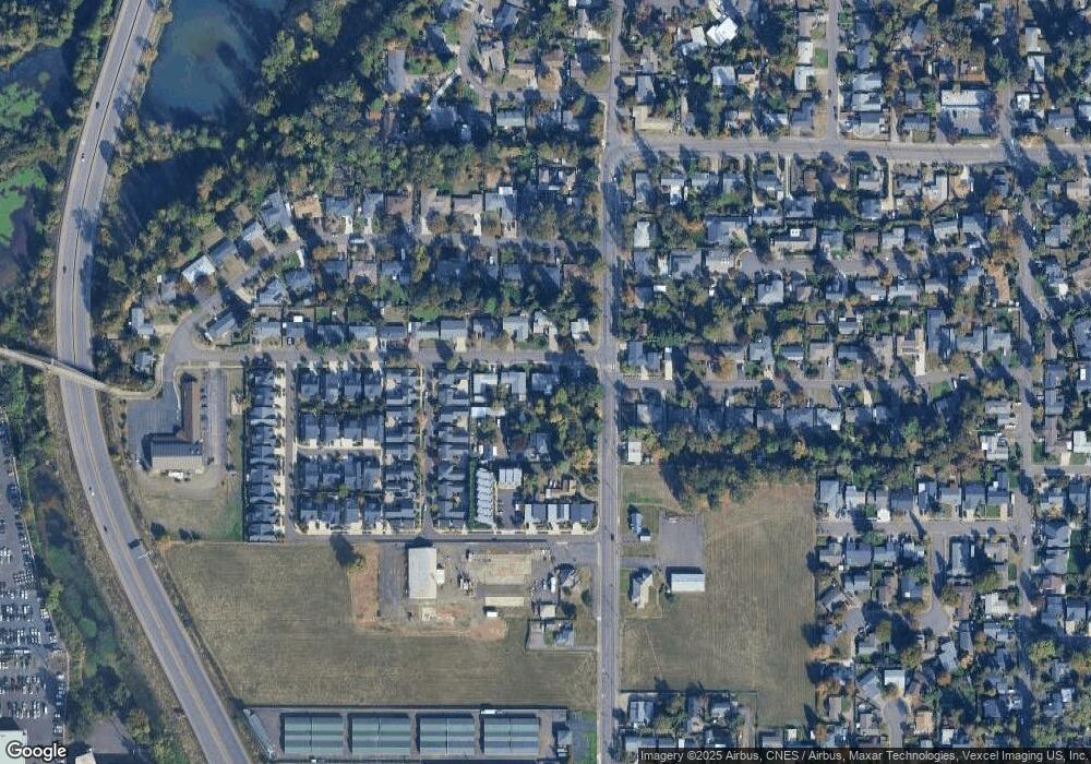
Map
Nearby Homes
- 1193 Rio Glen Dr
- 1230 Debrick Rd
- 0 Butte Ln
- 0 Piper Ln Unit Lot 1
- 0 Piper Ln Unit Lot 3
- 0 Piper Ln Unit Lot 2
- 0 Piper Ln Unit Lot 5
- 0 Crenshaw Rd Unit 740506614
- 1376 Brickley Rd
- 1810 Happy Ln
- 1328 Spyglass Dr
- 410 Spyglass Dr
- 1282 Evening Star Ln
- 1230 Evening Star Ln
- 1500 Norkenzie Rd Unit 12
- 1500 Norkenzie Rd Unit 43
- 1750 Tabor St
- 2281 Ridgeway Dr
- 1332 Jeppesen Ave
- 516 Spyglass Dr
- 986 Robin Hood Ave
- 996 Robin Hood Ave
- 1256 Willagillespie Rd
- 980 Robin Hood Ave
- 987 Robin Hood Ave
- 1310 Willagillespie Rd
- 981 Robin Hood Ave
- 1293 Little John Ln
- 1283 Little John Ln
- 1252 Willagillespie Rd
- 1273 Little John Ln
- 1005 Rio Glen Dr
- 1010 Rio Glen Dr
- 992 Sherwood Place
- 1263 Little John Ln
- 975 Robin Hood Ave
- 986 Sherwood Place
- 996 Sherwood Place
- 1309 Willagillespie Rd
- 1253 Little John Ln
Your Personal Tour Guide
Ask me questions while you tour the home.