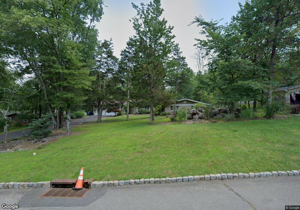
990 Severin Dr Bridgewater, NJ 08807
Estimated Value: $832,711 - $1,092,000
Studio
--
Bath
2,730
Sq Ft
$343/Sq Ft
Est. Value
About This Home
This home is located at 990 Severin Dr, Bridgewater, NJ 08807 and is currently estimated at $936,678, approximately $343 per square foot. 990 Severin Dr is a home located in Somerset County with nearby schools including Crim Primary School, Bridgewater-Raritan Middle School, and Hillside Intermediate School.
Ownership History
Date
Name
Owned For
Owner Type
Purchase Details
Closed on
Aug 28, 1998
Sold by
Laws Erika
Bought by
Pallaki Sudhakar and Pallaki Sheila
Current Estimated Value
Home Financials for this Owner
Home Financials are based on the most recent Mortgage that was taken out on this home.
Original Mortgage
$215,000
Outstanding Balance
$45,927
Interest Rate
6.9%
Estimated Equity
$890,751
Create a Home Valuation Report for This Property
The Home Valuation Report is an in-depth analysis detailing your home's value as well as a comparison with similar homes in the area
Home Values in the Area
Average Home Value in this Area
Purchase History
| Date | Buyer | Sale Price | Title Company |
|---|---|---|---|
| Pallaki Sudhakar | $268,750 | -- |
Source: Public Records
Mortgage History
| Date | Status | Borrower | Loan Amount |
|---|---|---|---|
| Open | Pallaki Sudhakar | $215,000 |
Source: Public Records
Tax History
| Year | Tax Paid | Tax Assessment Tax Assessment Total Assessment is a certain percentage of the fair market value that is determined by local assessors to be the total taxable value of land and additions on the property. | Land | Improvement |
|---|---|---|---|---|
| 2025 | $13,278 | $718,500 | $290,600 | $427,900 |
| 2024 | $13,278 | $681,600 | $290,600 | $391,000 |
| 2023 | $11,999 | $604,800 | $290,600 | $314,200 |
| 2022 | $11,042 | $535,500 | $290,600 | $244,900 |
| 2021 | $10,205 | $487,300 | $290,600 | $196,700 |
| 2020 | $10,193 | $484,700 | $290,600 | $194,100 |
| 2019 | $10,205 | $480,700 | $290,600 | $190,100 |
| 2018 | $10,097 | $476,700 | $290,600 | $186,100 |
| 2017 | $9,642 | $454,800 | $290,600 | $164,200 |
| 2016 | $9,283 | $444,600 | $290,600 | $154,000 |
| 2015 | $9,500 | $455,200 | $290,600 | $164,600 |
| 2014 | $9,258 | $436,900 | $290,600 | $146,300 |
Source: Public Records
Map
Nearby Homes
- 1825 Kennesaw Way
- 3 Wimple Way
- 1930 Mountain Top Rd
- 552 Foothill Rd
- 4 Loft Dr Unit 4
- 607 Foothill Rd
- 45 Loft Dr Unit 45
- 56 Loft Dr
- 25 Chelsea Way
- 816 Mine Rd
- 7 Tower Rd
- 2017 Washington Valley Rd
- 6 Dartmouth Ave Unit 4B
- 0 Woodside Ln
- 000 Woodside Ln
- 00 Woodside Ln
- 4 Columbia Dr Unit 1A
- 245 Leeham Ave
- 26 Claire Dr
- 117 Woodlawn Ave
- 996 Severin Dr
- 986 Severin Dr
- 1000 Severin Dr
- 980 Severin Dr
- 1001 Tullo Farm Rd
- 993 Severin Dr
- 1021 Tullo Farm Rd
- 976 Severin Dr
- 997 Tullo Farm Rd
- 985 Severin Dr
- 999 Severin Dr
- 1004 Severin Dr
- 995 Tullo Farm Rd
- 2 Wilpert Rd
- 979 Severin Dr
- 970 Severin Dr
- 1005 Severin Dr
- 4 Beadle Ct
- 975 Severin Dr
- 1 Wilpert Rd
Your Personal Tour Guide
Ask me questions while you tour the home.