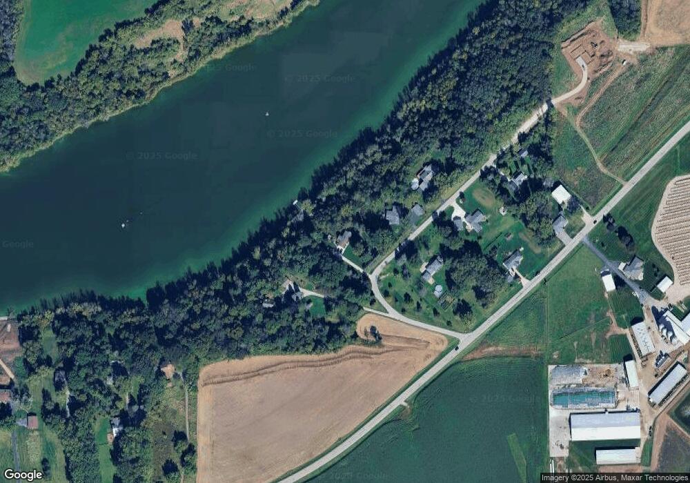
990 Sue Ln Wrightstown, WI 54180
Estimated Value: $428,000 - $562,000
4
Beds
2
Baths
2,240
Sq Ft
$215/Sq Ft
Est. Value
About This Home
This home is located at 990 Sue Ln, Wrightstown, WI 54180 and is currently estimated at $481,539, approximately $214 per square foot. 990 Sue Ln is a home located in Brown County with nearby schools including Wrightstown Elementary School, Wrightstown Middle School, and Wrightstown High School.
Ownership History
Date
Name
Owned For
Owner Type
Purchase Details
Closed on
Mar 1, 2021
Sold by
Axell John and Axell Ann
Bought by
Axell Benjamin
Current Estimated Value
Purchase Details
Closed on
Nov 14, 2018
Sold by
Axell John A and Axell Ann M
Bought by
Axell Benjamin J
Home Financials for this Owner
Home Financials are based on the most recent Mortgage that was taken out on this home.
Original Mortgage
$215,000
Interest Rate
4.7%
Mortgage Type
New Conventional
Create a Home Valuation Report for This Property
The Home Valuation Report is an in-depth analysis detailing your home's value as well as a comparison with similar homes in the area
Home Values in the Area
Average Home Value in this Area
Purchase History
| Date | Buyer | Sale Price | Title Company |
|---|---|---|---|
| Axell Benjamin | $10,000 | None Available | |
| Axell Benjamin J | $215,000 | None Available |
Source: Public Records
Mortgage History
| Date | Status | Borrower | Loan Amount |
|---|---|---|---|
| Previous Owner | Axell Benjamin J | $215,000 |
Source: Public Records
Tax History
| Year | Tax Paid | Tax Assessment Tax Assessment Total Assessment is a certain percentage of the fair market value that is determined by local assessors to be the total taxable value of land and additions on the property. | Land | Improvement |
|---|---|---|---|---|
| 2025 | $5,690 | $353,900 | $139,100 | $214,800 |
| 2024 | $4,997 | $353,900 | $139,100 | $214,800 |
| 2023 | $5,417 | $353,900 | $139,100 | $214,800 |
| 2022 | $5,317 | $226,600 | $104,300 | $122,300 |
| 2021 | $5,138 | $226,600 | $104,300 | $122,300 |
| 2020 | $5,025 | $226,600 | $104,300 | $122,300 |
| 2019 | $4,738 | $226,600 | $104,300 | $122,300 |
| 2018 | $4,435 | $226,600 | $104,300 | $122,300 |
| 2017 | $3,810 | $186,200 | $88,000 | $98,200 |
| 2016 | $3,968 | $186,200 | $88,000 | $98,200 |
| 2015 | $4,105 | $186,200 | $88,000 | $98,200 |
| 2014 | -- | $186,200 | $88,000 | $98,200 |
| 2013 | -- | $186,200 | $88,000 | $98,200 |
Source: Public Records
Map
Nearby Homes
- 30 Golden Wheat Ln
- 735 Park St
- 361 Main St
- 269 Kerrigan Dr
- 248 Kerrigan Dr
- 113 Beckerae Ct
- 278 Kerrigan Dr
- 308 Kerrigan Dr
- 263 Kerrigan Dr
- 302 Kerrigan Dr
- 544 Nicole Ln
- 309 Louise Dr
- 548 Nicole Ln
- 563 Royal Saint Pats Dr
- 581 Royal Saint Pats Dr
- 713 Royal Saint Pats Dr
- 758 Royal Saint Pats Dr
- 728 Royal Saint Pats Dr
- 532 Royal Saint Pats Dr
- 556 Royal Saint Pats Dr
Your Personal Tour Guide
Ask me questions while you tour the home.