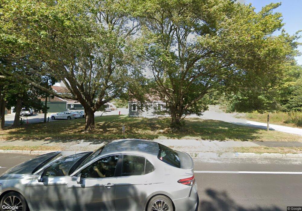
990 W Main St Centerville, MA 02632
Centerville NeighborhoodEstimated Value: $442,000 - $599,000
3
Beds
1
Bath
1,181
Sq Ft
$443/Sq Ft
Est. Value
About This Home
This home is located at 990 W Main St, Centerville, MA 02632 and is currently estimated at $522,794, approximately $442 per square foot. 990 W Main St is a home located in Barnstable County with nearby schools including Centerville Elementary School, Barnstable United Elementary School, and Barnstable Intermediate School.
Ownership History
Date
Name
Owned For
Owner Type
Purchase Details
Closed on
May 26, 2004
Sold by
Lambert Laura L
Bought by
980 West Main Street T
Current Estimated Value
Purchase Details
Closed on
May 29, 2001
Sold by
Bingham Donald C and Bingham Bonatt-Bingham V
Bought by
Lambert Laura L
Home Financials for this Owner
Home Financials are based on the most recent Mortgage that was taken out on this home.
Original Mortgage
$132,000
Interest Rate
7.05%
Mortgage Type
Purchase Money Mortgage
Purchase Details
Closed on
Aug 19, 1996
Sold by
Warburton William and Warburton Elberta J
Bought by
Franzreb Scott A
Home Financials for this Owner
Home Financials are based on the most recent Mortgage that was taken out on this home.
Original Mortgage
$130,000
Interest Rate
8.08%
Mortgage Type
Purchase Money Mortgage
Create a Home Valuation Report for This Property
The Home Valuation Report is an in-depth analysis detailing your home's value as well as a comparison with similar homes in the area
Home Values in the Area
Average Home Value in this Area
Purchase History
| Date | Buyer | Sale Price | Title Company |
|---|---|---|---|
| 980 West Main Street T | -- | -- | |
| Lambert Laura L | $175,000 | -- | |
| Franzreb Scott A | $210,000 | -- |
Source: Public Records
Mortgage History
| Date | Status | Borrower | Loan Amount |
|---|---|---|---|
| Previous Owner | Lambert Laura L | $132,000 | |
| Previous Owner | Franzreb Scott A | $130,000 |
Source: Public Records
Tax History
| Year | Tax Paid | Tax Assessment Tax Assessment Total Assessment is a certain percentage of the fair market value that is determined by local assessors to be the total taxable value of land and additions on the property. | Land | Improvement |
|---|---|---|---|---|
| 2025 | $3,259 | $402,800 | $152,100 | $250,700 |
| 2024 | $3,016 | $386,200 | $152,100 | $234,100 |
| 2023 | $2,943 | $352,900 | $146,000 | $206,900 |
| 2022 | $2,706 | $280,700 | $108,100 | $172,600 |
| 2021 | $2,609 | $248,700 | $102,400 | $146,300 |
| 2020 | $2,470 | $225,400 | $102,400 | $123,000 |
| 2019 | $2,319 | $205,600 | $96,700 | $108,900 |
| 2018 | $2,189 | $195,100 | $101,800 | $93,300 |
| 2017 | $1,795 | $166,800 | $77,900 | $88,900 |
| 2016 | $1,799 | $165,000 | $76,100 | $88,900 |
| 2015 | $1,948 | $179,500 | $77,100 | $102,400 |
Source: Public Records
Map
Nearby Homes
- 180 Pond View Dr
- 10 Sail -A-way
- 10 Sail a Way
- 83 Lake Dr
- 21 Brian Ln
- 33 Edgewood Rd
- 75 Olander Dr
- 75 Olander Dr
- 481 Lakeside Dr W
- 156 S Main St
- 357 Lakeside Dr W
- 159 Willow Run Dr
- 83 Peacock Dr
- 179 Sudbury Ln
- 423 Lincoln Road Extension
- 19 Marrick Ct
- 443 Elliott Rd
- 101 Cottonwood Ln
- 260 Tobey Way
- 522 Lincoln Road Extension
- 1000 W Main St
- 995 W Main St
- 968 W Main St
- 971 W Main St
- 1149 Falmouth Rd
- 987 W Main St
- 0 Rt 28 Unit 70829203
- 0 Rt 28 Unit 71112601
- 980 W Main St
- 1185 Falmouth Rd
- 1001 W Main St
- 1007 W Main St
- 942 W Main St Unit M
- 942 W Main St Unit L
- 942 W Main St Unit K
- 942 W Main St Unit J
- 942 W Main St Unit I
- 942 W Main St Unit H
- 942 W Main St Unit G
- 942 W Main St Unit F
Your Personal Tour Guide
Ask me questions while you tour the home.