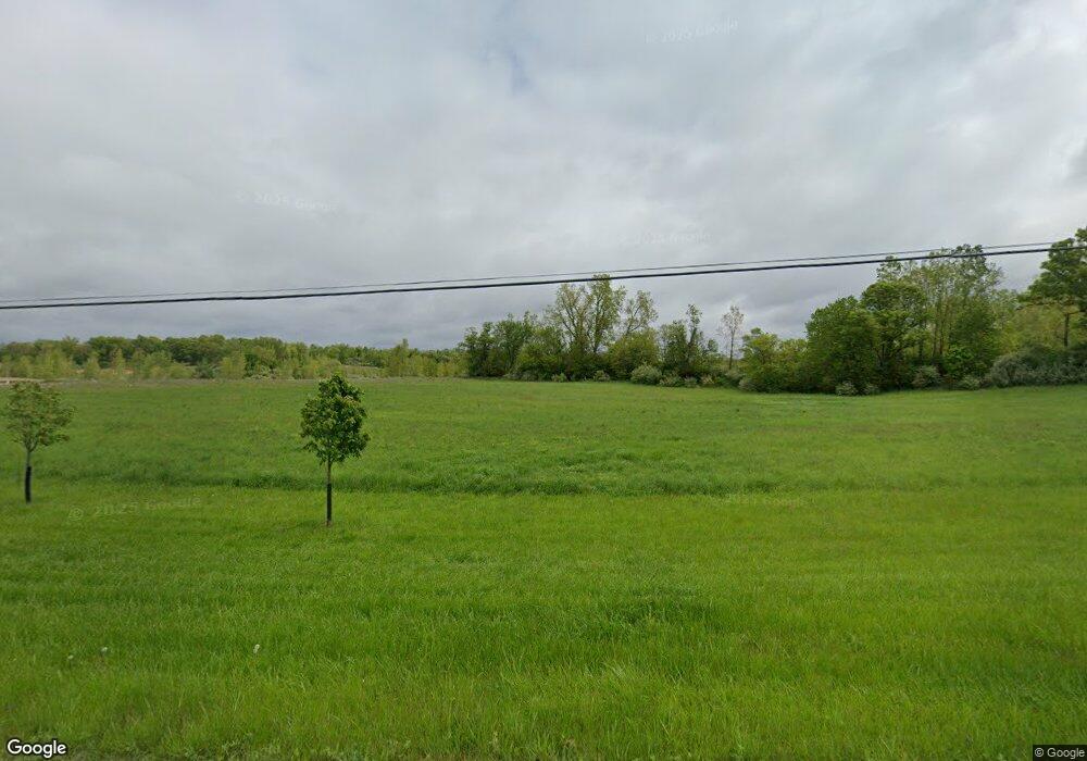
9900 Andersonville Rd Clarkston, MI 48346
Estimated Value: $229,000 - $327,000
3
Beds
1
Bath
1,445
Sq Ft
$189/Sq Ft
Est. Value
About This Home
This home is located at 9900 Andersonville Rd, Clarkston, MI 48346 and is currently estimated at $272,658, approximately $188 per square foot. 9900 Andersonville Rd is a home located in Oakland County with nearby schools including Andersonville Elementary School.
Ownership History
Date
Name
Owned For
Owner Type
Purchase Details
Closed on
Sep 13, 2019
Sold by
Cooper Martha M
Bought by
Delcamp Mark A and Delcamp Elizabeth D
Current Estimated Value
Home Financials for this Owner
Home Financials are based on the most recent Mortgage that was taken out on this home.
Original Mortgage
$91,575
Outstanding Balance
$81,047
Interest Rate
4.12%
Mortgage Type
FHA
Estimated Equity
$191,611
Purchase Details
Closed on
Jun 22, 2016
Sold by
Halsey James P and Cooper Martha M
Bought by
Cooper Martha M
Purchase Details
Closed on
Sep 17, 2012
Sold by
Halsey James P and Cooper Martha M
Bought by
Halsey James P and Cooper Martha M
Create a Home Valuation Report for This Property
The Home Valuation Report is an in-depth analysis detailing your home's value as well as a comparison with similar homes in the area
Home Values in the Area
Average Home Value in this Area
Purchase History
| Date | Buyer | Sale Price | Title Company |
|---|---|---|---|
| Delcamp Mark A | $140,000 | Sterling Title Agency | |
| Cooper Martha M | -- | None Available | |
| Halsey James P | -- | None Available |
Source: Public Records
Mortgage History
| Date | Status | Borrower | Loan Amount |
|---|---|---|---|
| Open | Delcamp Mark A | $91,575 |
Source: Public Records
Tax History Compared to Growth
Tax History
| Year | Tax Paid | Tax Assessment Tax Assessment Total Assessment is a certain percentage of the fair market value that is determined by local assessors to be the total taxable value of land and additions on the property. | Land | Improvement |
|---|---|---|---|---|
| 2024 | $1,275 | $83,780 | $0 | $0 |
| 2023 | $1,215 | $79,050 | $0 | $0 |
| 2022 | $1,446 | $69,690 | $0 | $0 |
| 2021 | $846 | $66,000 | $0 | $0 |
| 2020 | $607 | $59,200 | $0 | $0 |
| 2018 | $1,299 | $51,200 | $15,200 | $36,000 |
| 2015 | -- | $42,700 | $0 | $0 |
| 2014 | -- | $42,800 | $0 | $0 |
Source: Public Records
Map
Nearby Homes
- 10008 Quarry Ridge Rd
- 10001 Quarry Ridge Rd
- 9254 Semindale
- 6910 Ridgewood Rd
- 9144 Big Lake Rd
- 8808 Big Lake Rd
- 7109 Bluewater Dr
- 9830 Oak Valley Dr Unit 24
- 11300 Andersonville Rd
- 6181 Neilson
- 6168 Hillsboro Rd
- 9755 Forest Ridge Dr Unit 29
- 7210 Bluewater Dr
- 7565 Old Pond Dr
- 9099 Bavarian Way
- 6705 College Park
- 7220 Bluewater Dr Unit 134
- 9909 Kingston Ridge Unit 44
- 9933 Kingston Ridge Unit 43
- 9085 Bavarian Way
- 6008 Winsford Ln
- 5008 Shoreham Cir
- 5002 Shoreham Cir
- 6006 Winsford Ln
- 5004 Shoreham Cir
- 5006 Shoreham Cir
- 6011 Winsford Ln
- 5010 Shoreham Cir
- 5016 Shoreham Cir
- 9985 Andersonville Rd Unit Bldg-Unit
- 9985 Andersonville Rd
- 000 Andersonville
- 8247 Andersonville
- 8187 Andersonville
- 0 Andersonville Rd
- 10036 Quarry Ridge Rd
- 9987 Quarry Ridge Rd
- 9905 Andersonville Rd
- 10001 Andersonville Rd
- 10015 Quarry Ridge Rd
