9900 Drum Hill Rd Mascoutah, IL 62258
Estimated Value: $371,733 - $445,000
--
Bed
--
Bath
2,256
Sq Ft
$181/Sq Ft
Est. Value
About This Home
This home is located at 9900 Drum Hill Rd, Mascoutah, IL 62258 and is currently estimated at $408,367, approximately $181 per square foot. 9900 Drum Hill Rd is a home located in St. Clair County with nearby schools including Freeburg Elementary School and Freeburg Community High School.
Ownership History
Date
Name
Owned For
Owner Type
Purchase Details
Closed on
May 1, 2002
Sold by
Grab Otto J
Bought by
Grab John D and Grab Marcia R
Current Estimated Value
Home Financials for this Owner
Home Financials are based on the most recent Mortgage that was taken out on this home.
Original Mortgage
$119,000
Interest Rate
7.18%
Mortgage Type
Purchase Money Mortgage
Create a Home Valuation Report for This Property
The Home Valuation Report is an in-depth analysis detailing your home's value as well as a comparison with similar homes in the area
Home Values in the Area
Average Home Value in this Area
Purchase History
| Date | Buyer | Sale Price | Title Company |
|---|---|---|---|
| Grab John D | $139,000 | Metro East Title |
Source: Public Records
Mortgage History
| Date | Status | Borrower | Loan Amount |
|---|---|---|---|
| Closed | Grab John D | $119,000 |
Source: Public Records
Tax History Compared to Growth
Tax History
| Year | Tax Paid | Tax Assessment Tax Assessment Total Assessment is a certain percentage of the fair market value that is determined by local assessors to be the total taxable value of land and additions on the property. | Land | Improvement |
|---|---|---|---|---|
| 2024 | $6,220 | $82,901 | $4,667 | $78,234 |
| 2023 | $4,691 | $71,618 | $3,524 | $68,094 |
| 2022 | $4,368 | $65,896 | $3,132 | $62,764 |
| 2021 | $4,224 | $63,098 | $2,843 | $60,255 |
| 2020 | $4,206 | $64,483 | $2,698 | $61,785 |
| 2019 | $4,024 | $60,482 | $2,457 | $58,025 |
| 2018 | $4,091 | $61,716 | $2,336 | $59,380 |
| 2017 | $3,985 | $60,676 | $2,161 | $58,515 |
| 2016 | $3,952 | $61,226 | $2,047 | $59,179 |
| 2014 | $3,551 | $59,328 | $1,907 | $57,421 |
| 2013 | $2,681 | $61,117 | $1,921 | $59,196 |
Source: Public Records
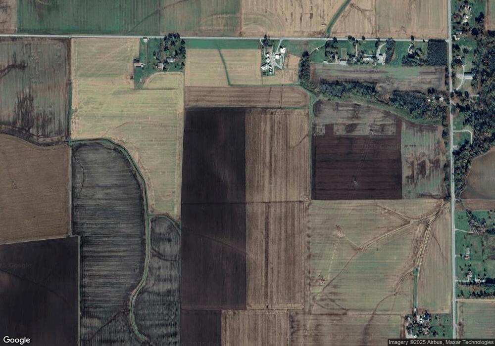
Map
Nearby Homes
- 2304 N 1st St
- 2221 Pulliam Ave
- 2109 S 3rd St
- 2201 Illinois Ave
- 2309 S 6th St
- 5276 State Route 4
- 0 Five Forks Rd
- 5929 Highbanks Rd
- 10971 Platinum Ln
- tbb Illinois 15
- 6450 Timber Lane Dr
- 600 Kate Ct
- 604 Kate Ct
- 608 Kate Ct
- 601 Kate Ct
- 612 Kate Ct
- 605 Kate Ct
- 616 Kate Ct
- 1011 Jean Marie St
- 1007 Jean Marie St
- 9908 Drum Hill Rd
- 9950 Drum Hill Rd
- 9944 Karch Rd
- 9970 Drum Hill Rd
- 4747 State Route 4
- 4784 State Route 4
- 9724 Drum Hill Rd
- 4800 State Route 4
- 4848 State Route 4
- 10100 Hickory Hollow Rd
- 10101 Hickory Hollow Rd
- 4860 State Route 4
- 4936 State Route 4
- 9825 Karch Rd
- 10130 Hickory Hollow Rd
- 10006 Karch Rd
- 10024 Karch Rd
- 10030 Karch Rd
- 4632 State Route 4
- 4648 State Route 4