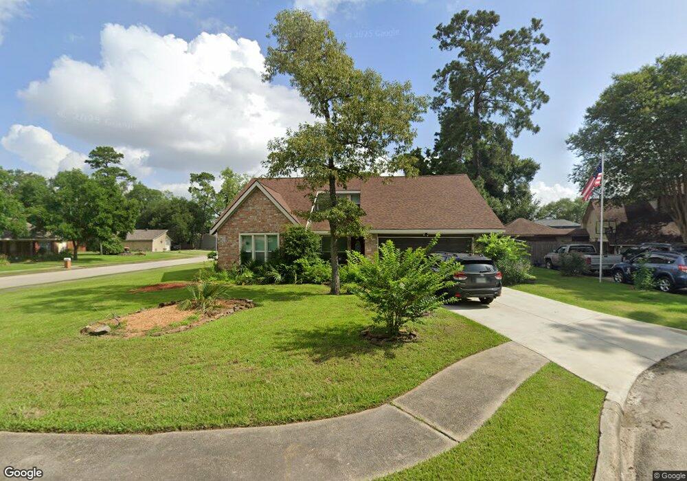
9901 Robin Ct Conroe, TX 77385
Estimated Value: $246,000 - $309,000
Studio
2
Baths
1,865
Sq Ft
$143/Sq Ft
Est. Value
About This Home
This home is located at 9901 Robin Ct, Conroe, TX 77385 and is currently estimated at $267,438, approximately $143 per square foot. 9901 Robin Ct is a home located in Montgomery County with nearby schools including Suchma Elementary School, Irons J High School, and Oak Ridge High School.
Ownership History
Date
Name
Owned For
Owner Type
Purchase Details
Closed on
Aug 4, 2000
Sold by
Shamblin Doyle Wayne
Bought by
Garrett Jodi
Current Estimated Value
Home Financials for this Owner
Home Financials are based on the most recent Mortgage that was taken out on this home.
Original Mortgage
$89,264
Interest Rate
8.21%
Mortgage Type
FHA
Purchase Details
Closed on
Feb 4, 1998
Sold by
Lipar Group Inc
Bought by
Ortiz Miguel J and Ortiz Connie M
Home Financials for this Owner
Home Financials are based on the most recent Mortgage that was taken out on this home.
Original Mortgage
$27,965
Interest Rate
6.98%
Purchase Details
Closed on
Mar 24, 1992
Bought by
Garrett Jodi
Create a Home Valuation Report for This Property
The Home Valuation Report is an in-depth analysis detailing your home's value as well as a comparison with similar homes in the area
Purchase History
| Date | Buyer | Sale Price | Title Company |
|---|---|---|---|
| Garrett Jodi | -- | Old Republic Title Company | |
| Ortiz Miguel J | -- | American Title Co | |
| Garrett Jodi | -- | -- |
Source: Public Records
Mortgage History
| Date | Status | Borrower | Loan Amount |
|---|---|---|---|
| Closed | Garrett Jodi | $89,264 | |
| Previous Owner | Ortiz Miguel J | $27,965 |
Source: Public Records
Tax History
| Year | Tax Paid | Tax Assessment Tax Assessment Total Assessment is a certain percentage of the fair market value that is determined by local assessors to be the total taxable value of land and additions on the property. | Land | Improvement |
|---|---|---|---|---|
| 2025 | $2,200 | $173,323 | -- | -- |
| 2024 | $2,573 | $157,566 | $31,640 | $125,926 |
| 2023 | $2,573 | $176,540 | $31,640 | $149,370 |
| 2022 | $3,292 | $160,490 | $31,640 | $140,620 |
| 2021 | $3,806 | $145,900 | $31,640 | $114,260 |
| 2020 | $3,698 | $134,070 | $31,640 | $102,430 |
| 2019 | $3,575 | $123,950 | $13,560 | $114,600 |
| 2018 | $2,610 | $112,680 | $13,560 | $99,980 |
| 2017 | $3,010 | $102,440 | $13,560 | $106,740 |
| 2016 | $2,737 | $93,130 | $13,560 | $91,500 |
| 2015 | $2,101 | $84,660 | $13,560 | $84,710 |
| 2014 | $2,101 | $76,960 | $13,560 | $63,400 |
Source: Public Records
Map
Nearby Homes
- 17129 Sprawling Oaks Dr
- 17121 Spindle Oaks Dr
- 9942 Beautyberry
- 9926 Common Hawker Ct
- 9840 Sweet Flag Ct
- 10202 S Goshawk Trail
- 9257 Inland Leather Ln
- 9221 Inland Leather Ln
- 10581 Lake Palmetto Dr
- 16868 Pink Wintergreen Dr
- 16875 Pink Wintergreen Dr
- 9801 Preserve Way
- 16887 Pink Wintergreen Dr
- 17135 Sprawling Oaks Dr
- 9816 Preserve Way
- 17169 Upland Bent Ct
- 6342 Big Oaks Dr
- 9948 Preserve Way
- 17243 Rookery Ct
- 10102 S Goshawk Trail
- 9905 Robin Ct
- 9870 Dove Ct
- 9874 Dove Ct
- 17116 Gleneagle Dr S
- 9909 Robin Ct
- 17124 Gleneagle Dr S
- 9910 Robin Ct
- 9878 Dove Ct
- 9906 Robin Ct
- 17128 Gleneagle Dr S
- 17108 Gleneagle Dr S
- 160 Dove Ct
- 154 Dove Ct
- 17132 Gleneagle Dr S
- 17104 Gleneagle Dr S
- 9866 Swan Ct
- 17135 Gleneagle Dr S
- 9871 Dove Ct
- 9879 Dove Ct
- 17139 Gleneagle Dr S
Your Personal Tour Guide
Ask me questions while you tour the home.