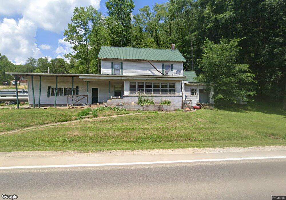
9901 State Route 39 NE Sherrodsville, OH 44675
Estimated Value: $38,000 - $273,000
3
Beds
2
Baths
1,620
Sq Ft
$115/Sq Ft
Est. Value
About This Home
This home is located at 9901 State Route 39 NE, Sherrodsville, OH 44675 and is currently estimated at $187,010, approximately $115 per square foot. 9901 State Route 39 NE is a home located in Tuscarawas County with nearby schools including Tuscarawas Valley Primary School, Tuscarawas Valley Intermediate School, and Tuscarawas Valley Middle School.
Ownership History
Date
Name
Owned For
Owner Type
Purchase Details
Closed on
Jun 30, 2010
Sold by
Mcintyre David and Mcintyre Tammee
Bought by
Huff George J
Current Estimated Value
Home Financials for this Owner
Home Financials are based on the most recent Mortgage that was taken out on this home.
Original Mortgage
$93,523
Outstanding Balance
$62,581
Interest Rate
4.86%
Mortgage Type
New Conventional
Estimated Equity
$124,429
Purchase Details
Closed on
Aug 14, 1996
Sold by
Grimm Martha K
Bought by
David Mcintyre
Home Financials for this Owner
Home Financials are based on the most recent Mortgage that was taken out on this home.
Original Mortgage
$53,889
Interest Rate
8.18%
Mortgage Type
New Conventional
Create a Home Valuation Report for This Property
The Home Valuation Report is an in-depth analysis detailing your home's value as well as a comparison with similar homes in the area
Home Values in the Area
Average Home Value in this Area
Purchase History
| Date | Buyer | Sale Price | Title Company |
|---|---|---|---|
| Huff George J | $90,250 | Tusc Title | |
| David Mcintyre | $59,900 | -- |
Source: Public Records
Mortgage History
| Date | Status | Borrower | Loan Amount |
|---|---|---|---|
| Open | Huff George J | $93,523 | |
| Previous Owner | David Mcintyre | $53,889 |
Source: Public Records
Tax History Compared to Growth
Tax History
| Year | Tax Paid | Tax Assessment Tax Assessment Total Assessment is a certain percentage of the fair market value that is determined by local assessors to be the total taxable value of land and additions on the property. | Land | Improvement |
|---|---|---|---|---|
| 2024 | $2,087 | $50,840 | $15,800 | $35,040 |
| 2023 | $2,676 | $145,260 | $45,150 | $100,110 |
| 2022 | $2,091 | $50,841 | $15,803 | $35,039 |
| 2021 | $1,773 | $41,860 | $17,451 | $24,409 |
| 2020 | $1,773 | $41,860 | $17,451 | $24,409 |
| 2019 | $1,785 | $41,860 | $17,451 | $24,409 |
| 2018 | $1,599 | $35,330 | $14,730 | $20,600 |
| 2017 | $1,614 | $35,330 | $14,730 | $20,600 |
| 2016 | $1,596 | $35,330 | $14,730 | $20,600 |
| 2014 | $1,458 | $30,500 | $11,060 | $19,440 |
| 2013 | $1,164 | $30,500 | $11,060 | $19,440 |
Source: Public Records
Map
Nearby Homes
- 240 S Church St
- 0 Cutler Rd NE Unit 5156445
- 0 Cutler Rd NE Unit 5156452
- 0 Cutler Rd NE Unit 5156457
- 4414 Cumberland Rd SW Unit 9
- 1223 New Cumberland Rd NE
- 9156 Cherry Ln NE
- 9248 Lakewood Dr NE
- 0 Azalea Rd SW
- 9203 Azalea Rd SW
- 9035 N Shore Dr NE
- 6006 Echo Lake Rd NE
- 3340 Lombardy Rd SW
- 6285 Adams Rd NE
- 150 W Green St
- 2258 Laurel Dr
- 0 Deer Rd SW
- 8889 Cumberland Rd SW
- 6090 Revere Rd SW
- 0 Irish Run Rd SE
- 10011 State Route 39 NE
- 9689 Crum Rd NE
- 9799 State Route 39 NE
- 9747 State Route 39 NE
- 9999 Crum Rd
- 9580 State Route 39 NE
- 9389 Crum Rd NE
- 10279 State Route 39 NE
- 9667 State Route 39 NE
- 9419 Crum Rd NE
- 9454 Crum Rd NE
- 9598 Crum Rd NE
- 9527 State Route 39 NE
- 9296 Crum Rd NE
- 9296 Crum Rd SE
- 9251 SE Crum Rd
- 8272 Roswell Rd SW
- 997 Oak Dale Rd NE
- 9197 Crum Rd SE
- 8260 Roswell Rd SW Unit 13