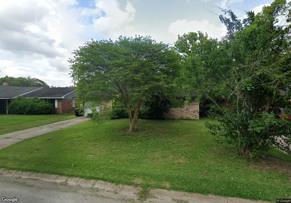
9902 Cheeves Dr Houston, TX 77016
East Little York NeighborhoodEstimated Value: $150,000 - $164,000
3
Beds
1
Bath
1,249
Sq Ft
$126/Sq Ft
Est. Value
About This Home
This home is located at 9902 Cheeves Dr, Houston, TX 77016 and is currently estimated at $157,519, approximately $126 per square foot. 9902 Cheeves Dr is a home located in Harris County with nearby schools including Shadydale Elementary School, Forest Brook Middle, and North Forest High School.
Ownership History
Date
Name
Owned For
Owner Type
Purchase Details
Closed on
Feb 13, 2024
Sold by
Leva Jeff
Bought by
Carrington Mtg Services Llc
Current Estimated Value
Purchase Details
Closed on
Aug 10, 2023
Sold by
Alcala Kathleen
Bought by
Hreal Company Llc
Purchase Details
Closed on
Jun 15, 2023
Sold by
Riddle Michael L
Bought by
Davis Alma L
Purchase Details
Closed on
May 31, 2023
Sold by
Perkins Joyce Marie
Bought by
Perkins Kevin
Purchase Details
Closed on
May 2, 2014
Sold by
Gray Angela F and Gray Reginald E
Bought by
Davis Alma L
Home Financials for this Owner
Home Financials are based on the most recent Mortgage that was taken out on this home.
Original Mortgage
$30,438
Interest Rate
3.93%
Mortgage Type
FHA
Purchase Details
Closed on
Jun 25, 2010
Sold by
Davis Alma Louise
Bought by
Gray Angela F
Create a Home Valuation Report for This Property
The Home Valuation Report is an in-depth analysis detailing your home's value as well as a comparison with similar homes in the area
Home Values in the Area
Average Home Value in this Area
Purchase History
| Date | Buyer | Sale Price | Title Company |
|---|---|---|---|
| Carrington Mtg Services Llc | -- | None Listed On Document | |
| Hreal Company Llc | -- | None Listed On Document | |
| Davis Alma L | $30,438 | None Listed On Document | |
| Perkins Kevin | -- | None Listed On Document | |
| Davis Alma L | -- | Commonwealth Title | |
| Gray Angela F | -- | Accommodation |
Source: Public Records
Mortgage History
| Date | Status | Borrower | Loan Amount |
|---|---|---|---|
| Previous Owner | Davis Alma L | $30,438 |
Source: Public Records
Tax History Compared to Growth
Tax History
| Year | Tax Paid | Tax Assessment Tax Assessment Total Assessment is a certain percentage of the fair market value that is determined by local assessors to be the total taxable value of land and additions on the property. | Land | Improvement |
|---|---|---|---|---|
| 2025 | $2,541 | $124,326 | $53,723 | $70,603 |
| 2024 | $2,541 | $121,448 | $53,723 | $67,725 |
| 2023 | $2,541 | $127,178 | $44,460 | $82,718 |
| 2022 | $1,693 | $102,927 | $37,050 | $65,877 |
| 2021 | $1,629 | $89,291 | $27,788 | $61,503 |
| 2020 | $1,539 | $78,185 | $19,266 | $58,919 |
| 2019 | $1,462 | $70,118 | $12,671 | $57,447 |
| 2018 | $0 | $57,151 | $12,671 | $44,480 |
| 2017 | $1,207 | $57,151 | $12,671 | $44,480 |
| 2016 | $1,098 | $57,151 | $12,671 | $44,480 |
| 2015 | $250 | $42,933 | $12,671 | $30,262 |
| 2014 | $250 | $35,876 | $12,671 | $23,205 |
Source: Public Records
Map
Nearby Homes
- 7611 Cabot St
- 0 Wileyvale Rd Unit 37533417
- 0 Laura Koppe Rd Unit 64066450
- 0 Lockwood Unit 97801497
- 0 Wileyvale Rd Unit 98938709
- 7338 Bigwood St
- 7314 Sterlingshire St
- 7603 Caddo Rd
- 7639 Bigwood St
- 0 Bretshire Dr Unit 83088734
- 0 Bretshire Dr Unit 61965426
- 10101 Rebel Rd
- 10106 Cheeves Dr
- 7717 Bigwood St
- 7242 Bretshire Dr
- 7402 Yoe St
- 7305 Yoe St
- 10125 Rebel Rd
- 7218 Bretshire Dr
- 7306 Parker Rd
- 9834 Cheeves Dr
- 9906 Cheeves Dr
- 9830 Cheeves Dr
- 9910 Cheeves Dr
- 9914 Cheeves Dr
- 9826 Cheeves Dr
- 7449 Cabot St
- 9901 Rebel Rd
- 9831 Rebel Rd
- 9905 Rebel Rd
- 9827 Rebel Rd
- 9822 Cheeves Dr
- 9918 Cheeves Dr
- 7444 Cabot St
- 9913 Rebel Rd
- 7422 Sterlingshire St
- 9823 Rebel Rd
- 7418 Sterlingshire St
- 9917 Rebel Rd
- 9922 Cheeves Dr