9902 Mt Ashland Ski Rd Ashland, OR 97520
Estimated Value: $526,987 - $701,000
3
Beds
3
Baths
1,950
Sq Ft
$312/Sq Ft
Est. Value
About This Home
This home is located at 9902 Mt Ashland Ski Rd, Ashland, OR 97520 and is currently estimated at $608,662, approximately $312 per square foot. 9902 Mt Ashland Ski Rd is a home located in Jackson County with nearby schools including Walker Elementary School, Ashland Middle School, and Ashland High School.
Ownership History
Date
Name
Owned For
Owner Type
Purchase Details
Closed on
Jul 7, 2010
Sold by
United States Marshal
Bought by
Gygax Paul Anthony
Current Estimated Value
Home Financials for this Owner
Home Financials are based on the most recent Mortgage that was taken out on this home.
Original Mortgage
$200,000
Outstanding Balance
$133,168
Interest Rate
4.76%
Mortgage Type
New Conventional
Estimated Equity
$475,494
Purchase Details
Closed on
Dec 29, 2008
Sold by
Exe Baum Lester V
Bought by
United States Marshal
Purchase Details
Closed on
Dec 29, 2000
Sold by
Newberger Mark A
Bought by
Baum Lester V and The 1999 Mark A Newberger Exempt Trust
Purchase Details
Closed on
Oct 5, 1998
Sold by
Naumes Michael J and Naumes Dory K
Bought by
Newberger Mark A
Home Financials for this Owner
Home Financials are based on the most recent Mortgage that was taken out on this home.
Original Mortgage
$207,200
Interest Rate
9.99%
Create a Home Valuation Report for This Property
The Home Valuation Report is an in-depth analysis detailing your home's value as well as a comparison with similar homes in the area
Home Values in the Area
Average Home Value in this Area
Purchase History
| Date | Buyer | Sale Price | Title Company |
|---|---|---|---|
| Gygax Paul Anthony | $250,000 | Fidelity Natl Title Co Of Or | |
| United States Marshal | -- | Ticor Title | |
| Baum Lester V | $260,000 | Amerititle | |
| Newberger Mark A | $259,000 | Amerititle |
Source: Public Records
Mortgage History
| Date | Status | Borrower | Loan Amount |
|---|---|---|---|
| Open | Gygax Paul Anthony | $200,000 | |
| Previous Owner | Newberger Mark A | $207,200 |
Source: Public Records
Tax History Compared to Growth
Tax History
| Year | Tax Paid | Tax Assessment Tax Assessment Total Assessment is a certain percentage of the fair market value that is determined by local assessors to be the total taxable value of land and additions on the property. | Land | Improvement |
|---|---|---|---|---|
| 2025 | $3,809 | $340,800 | $61,580 | $279,220 |
| 2024 | $3,809 | $330,880 | $146,350 | $184,530 |
| 2023 | $4,307 | $321,250 | $142,080 | $179,170 |
| 2022 | $4,148 | $321,250 | $142,080 | $179,170 |
| 2021 | $4,022 | $311,900 | $137,940 | $173,960 |
| 2020 | $3,911 | $302,820 | $133,910 | $168,910 |
| 2019 | $3,831 | $285,440 | $126,230 | $159,210 |
| 2018 | $3,611 | $277,130 | $122,560 | $154,570 |
| 2017 | $3,601 | $277,130 | $122,560 | $154,570 |
| 2016 | $3,521 | $261,230 | $115,520 | $145,710 |
| 2015 | $3,411 | $261,230 | $115,520 | $145,710 |
| 2014 | $3,298 | $246,250 | $108,890 | $137,360 |
Source: Public Records
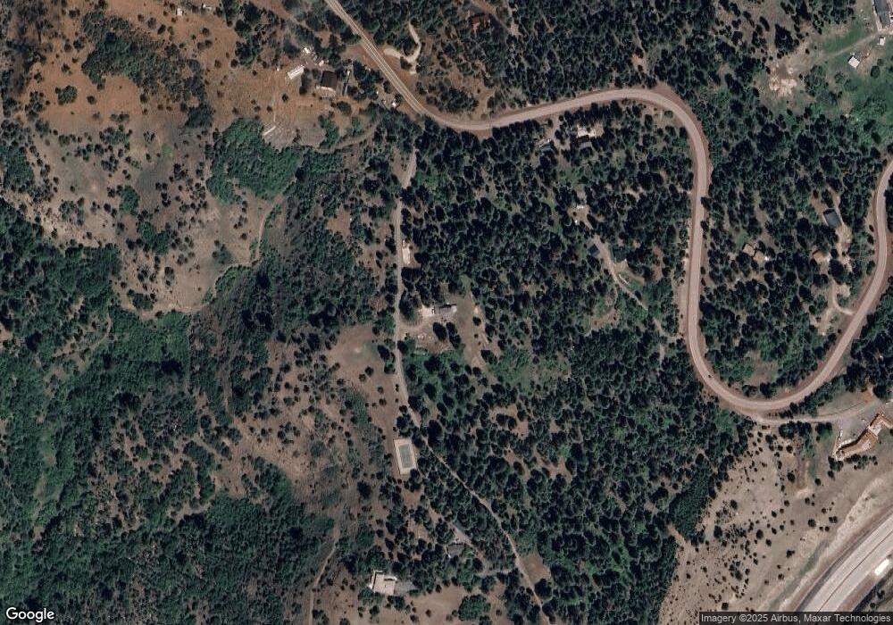
Map
Nearby Homes
- 4712 Old Highway 99 S
- 5631 Old Highway 99 S
- 5010 Old Highway 99 S
- 0 Colestin Rd Unit 104385842
- 0 Old Hwy 99 Unit 220199869
- 0 Highway 99 Unit 220209869
- 4492 Old Highway 99 S
- 9840 Mount Ashland Ski Rd
- 500 Conifer Way
- 545 Conifer Way
- 492 Conifer Way
- 3721 Old Highway 99 S
- 1988 Old Siskiyou Hwy
- 500 Mt Ashland Ski Rd
- 1694 Old Siskiyou Hwy
- 108 Baldy Creek Rd
- 2345 Old Greensprings Hwy
- 700 Neil Creek Rd
- 4260 Clayton Rd
- 855 Reiten Dr
- 10200 Mt Ashland Ski Rd
- 10000 Mt Ashland Ski Rd
- 9867 Mt Ashland Ski Rd
- 9884 Mt Ashland Ski Rd
- 9870 Mt Ashland Ski Rd
- 9999 Mt Ashland Ski Rd
- 10255 Mount Ashland Ski Rd
- 10255 Mt Ashland Ski Rd
- 11200 Mt Ashland Ski Rd
- 9555 Mt Ashland Ski Rd
- 11000 Mt Ashland Ski Rd
- 11000 Mount Ashland Ski Rd
- 0 Mt Ashland Ski Rd Unit 100993900
- 0 Mt Ashland Ski Rd Unit 100241769
- 0 Mt Ashland Ski Rd Unit 100993380
- 0 Mt Ashland Ski Rd Unit 100078761
- 0 Mt Ashland Ski Rd Unit 100078759
- 0 Mt Ashland Ski Rd Unit 100078757
- 0 Mt Ashland Ski Rd Unit 100078758
- 0 Mt Ashland Ski Rd Unit 103012386