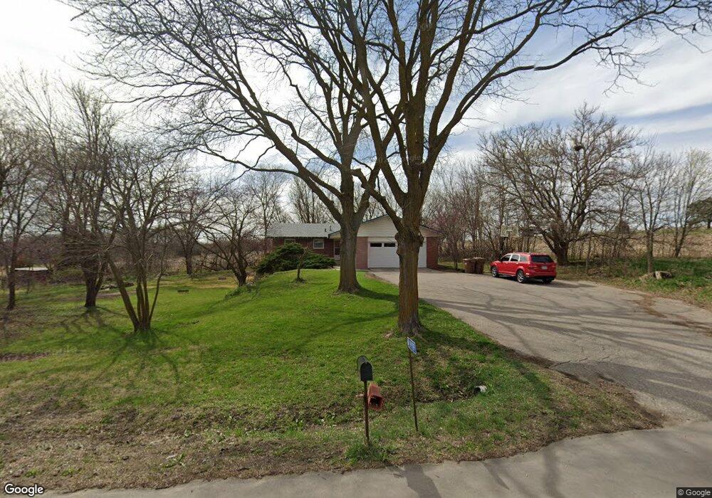
9909 S 56th St Lincoln, NE 68516
South Lincoln NeighborhoodEstimated Value: $359,000 - $485,440
3
Beds
4
Baths
1,344
Sq Ft
$322/Sq Ft
Est. Value
About This Home
This home is located at 9909 S 56th St, Lincoln, NE 68516 and is currently estimated at $432,610, approximately $321 per square foot. 9909 S 56th St is a home located in Lancaster County with nearby schools including Norris Elementary School, Norris Middle School, and Norris High School.
Ownership History
Date
Name
Owned For
Owner Type
Purchase Details
Closed on
Jul 2, 2024
Sold by
Butch Cassidy Llc
Bought by
Boyd County Motel Limited Liability Company
Current Estimated Value
Purchase Details
Closed on
Apr 16, 2007
Sold by
Hyland Joseph M and Hyland Patricia A
Bought by
Butch Cassidy Llc
Create a Home Valuation Report for This Property
The Home Valuation Report is an in-depth analysis detailing your home's value as well as a comparison with similar homes in the area
Home Values in the Area
Average Home Value in this Area
Purchase History
| Date | Buyer | Sale Price | Title Company |
|---|---|---|---|
| Boyd County Motel Limited Liability Company | $3,028,000 | None Listed On Document | |
| Butch Cassidy Llc | $170,000 | Multiple |
Source: Public Records
Tax History Compared to Growth
Tax History
| Year | Tax Paid | Tax Assessment Tax Assessment Total Assessment is a certain percentage of the fair market value that is determined by local assessors to be the total taxable value of land and additions on the property. | Land | Improvement |
|---|---|---|---|---|
| 2025 | $3,049 | $364,000 | $159,600 | $204,400 |
| 2024 | $3,049 | $345,100 | $159,600 | $185,500 |
| 2023 | $4,334 | $345,100 | $159,600 | $185,500 |
| 2022 | $4,003 | $243,400 | $87,500 | $155,900 |
| 2021 | $3,741 | $243,400 | $80,000 | $163,400 |
| 2020 | $3,579 | $228,000 | $80,000 | $148,000 |
| 2019 | $3,576 | $228,000 | $80,000 | $148,000 |
| 2018 | $3,466 | $219,900 | $80,000 | $139,900 |
| 2017 | $3,464 | $219,900 | $80,000 | $139,900 |
| 2016 | $3,129 | $200,200 | $57,600 | $142,600 |
| 2015 | $3,156 | $200,200 | $57,600 | $142,600 |
| 2014 | $2,677 | $166,200 | $60,700 | $105,500 |
| 2013 | -- | $166,200 | $60,700 | $105,500 |
Source: Public Records
Map
Nearby Homes
- 5501 Aaron Cir
- 6000 Rokeby Rd
- 9405 S 86th St
- 9415 S 86th St
- 4855 Johnson Rd
- 4356 Coral Bell Ct
- TBD Wilderness Heights L5 B3 St
- TBD Wilderness Heights L6 B3 St
- TBD Wilderness Heights L3 B3 St
- TBD St
- TBD Wilderness Heights L8 B2 St
- TBD Wilderness Heights L2 B3 St
- TBD Wilderness Heights L1 B3 St
- 4343 Coral Bell Ct
- 4349 Coral Bell Ct
- 4321 Coral Bell Ct
- 9401 S 87th St
- 9324 S 86th St
- 9355 S 86th St
- 9332 S 86th St
- 9900 S 56th St
- 9800 S 56th St
- 5600 Rokeby Rd
- 9930 S 56th St
- 9705 S 56th St
- 5700 Rokeby Rd
- 5601 Rokeby Rd
- 5601 Kess Dr
- 5500 New Castle Rd
- 9605 S 56th St
- 5450 New Castle Rd
- 5740 Rokeby Rd
- 5600 Kess Dr
- 5420 New Castle Rd
- 10000 S 56th St
- 10000 Cromwell Dr
- 5330 New Castle Rd
- 5455 New Castle Rd
- 10140 S 56th St
- 5800 Kess Dr