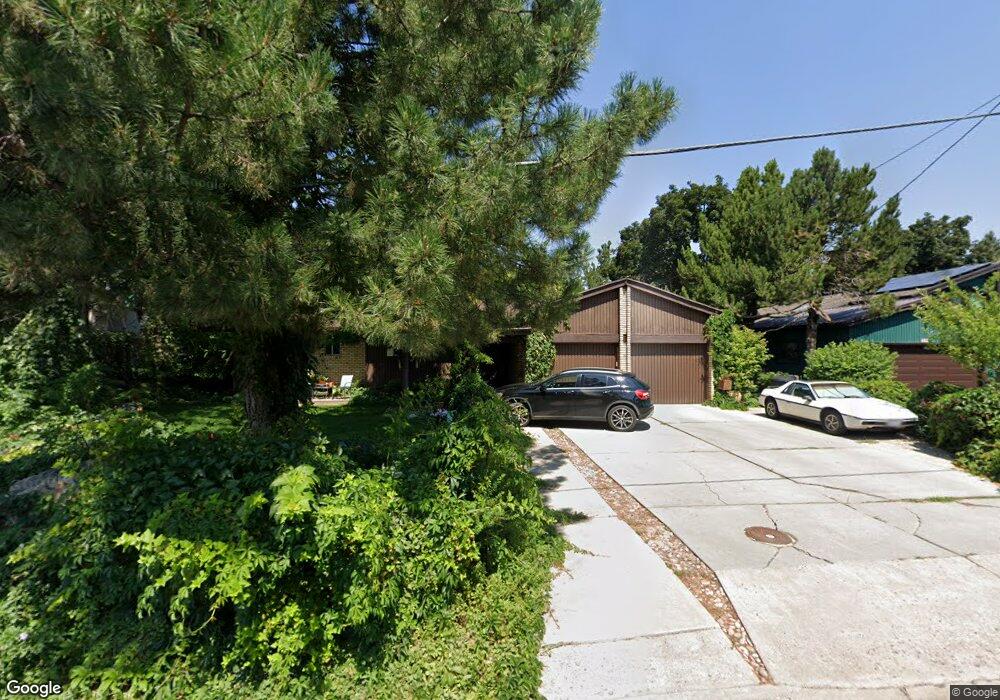
991 Sumac Dr Logan, UT 84321
Wilson NeighborhoodEstimated Value: $514,100 - $576,000
Studio
--
Bath
1,638
Sq Ft
$330/Sq Ft
Est. Value
About This Home
This home is located at 991 Sumac Dr, Logan, UT 84321 and is currently estimated at $540,525, approximately $329 per square foot. 991 Sumac Dr is a home with nearby schools including Wilson School, Mount Logan Middle School, and Logan High School.
Ownership History
Date
Name
Owned For
Owner Type
Purchase Details
Closed on
Feb 10, 2022
Sold by
Moore Kevin S and Moore Nedra L
Bought by
Kevin And Nedra Moore Revocable Trust and Revocabl Nedra
Current Estimated Value
Create a Home Valuation Report for This Property
The Home Valuation Report is an in-depth analysis detailing your home's value as well as a comparison with similar homes in the area
Home Values in the Area
Average Home Value in this Area
Purchase History
| Date | Buyer | Sale Price | Title Company |
|---|---|---|---|
| Kevin And Nedra Moore Revocable Trust | -- | None Listed On Document |
Source: Public Records
Tax History
| Year | Tax Paid | Tax Assessment Tax Assessment Total Assessment is a certain percentage of the fair market value that is determined by local assessors to be the total taxable value of land and additions on the property. | Land | Improvement |
|---|---|---|---|---|
| 2025 | $2,491 | $322,165 | $0 | $0 |
| 2024 | $2,572 | $322,165 | $0 | $0 |
| 2023 | $2,678 | $319,745 | $0 | $0 |
| 2022 | $2,347 | $261,640 | $0 | $0 |
| 2021 | $2,218 | $382,020 | $114,350 | $267,670 |
| 2020 | $2,066 | $320,250 | $114,350 | $205,900 |
| 2019 | $2,159 | $320,250 | $114,350 | $205,900 |
| 2018 | $1,962 | $265,662 | $114,350 | $151,312 |
| 2017 | $1,518 | $108,680 | $0 | $0 |
| 2016 | $1,574 | $108,680 | $0 | $0 |
| 2015 | $1,575 | $108,680 | $0 | $0 |
| 2014 | $1,424 | $108,680 | $0 | $0 |
| 2013 | -- | $105,155 | $0 | $0 |
Source: Public Records
Map
Nearby Homes
- 1045 Fox Farm Rd
- 1034 Thrushwood Dr
- 28 River Pointe Dr
- 74 Canterbury Cir
- 70 River Pointe Dr
- 2758 N Canyon Cove Dr
- 2738 N Canyon Cove Dr
- 1164 E Mountain Rd
- 1147 Eastridge Dr
- 684 Apple Dr
- 128 S 1170 E
- 1374 E 260 N
- 1387 E 260 N
- 45 River Circle Dr
- 545 E Boulevard St
- 661 E 600 N
- 631 E 600 N
- 440 N 400 E
- 227 N 400 E
- 642 E 700 N
- 999 Sumac Dr
- 983 Sumac Dr
- 1007 Sumac Dr
- 996 Sumac Dr
- 967 Sumac Dr
- 986 Sumac Dr
- 170 Riverside Dr
- 197 N Thrushwood Dr
- 974 Sumac Dr
- 957 Sumac Dr
- 181 N Thrushwood Dr
- 964 Sumac Dr
- 1016 Sumac Dr
- 194 N Thrushwood Dr
- 1025 Sumac Dr
- 1005 Thrushwood Dr
- 1027 Thrushwood Dr
- 182 N Thrushwood Dr
- 947 Sumac Dr
- 1040 Sumac Dr
Your Personal Tour Guide
Ask me questions while you tour the home.