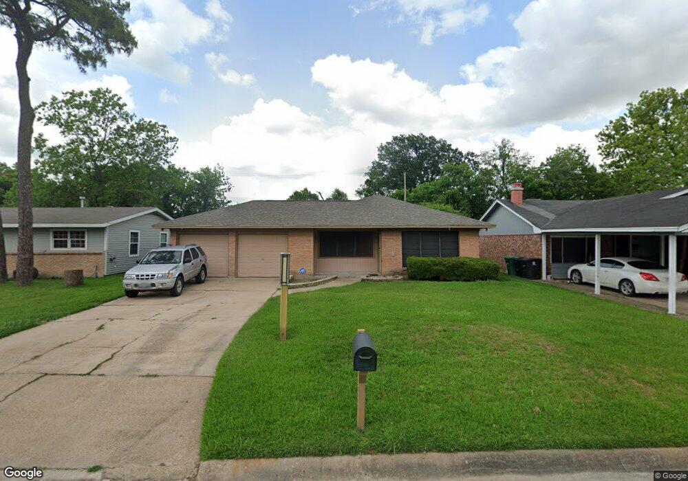
9910 Cheeves Dr Houston, TX 77016
East Little York NeighborhoodEstimated Value: $141,000 - $166,000
3
Beds
1
Bath
1,074
Sq Ft
$143/Sq Ft
Est. Value
About This Home
This home is located at 9910 Cheeves Dr, Houston, TX 77016 and is currently estimated at $153,226, approximately $142 per square foot. 9910 Cheeves Dr is a home located in Harris County with nearby schools including Shadydale Elementary School, Forest Brook Middle, and North Forest High School.
Ownership History
Date
Name
Owned For
Owner Type
Purchase Details
Closed on
Jan 27, 2003
Sold by
Mcbride Joan Carolyn and Wright Erika
Bought by
Harrison Isalette
Current Estimated Value
Home Financials for this Owner
Home Financials are based on the most recent Mortgage that was taken out on this home.
Original Mortgage
$60,850
Outstanding Balance
$25,498
Interest Rate
5.9%
Mortgage Type
FHA
Estimated Equity
$127,728
Create a Home Valuation Report for This Property
The Home Valuation Report is an in-depth analysis detailing your home's value as well as a comparison with similar homes in the area
Home Values in the Area
Average Home Value in this Area
Purchase History
| Date | Buyer | Sale Price | Title Company |
|---|---|---|---|
| Harrison Isalette | -- | Stewart Title |
Source: Public Records
Mortgage History
| Date | Status | Borrower | Loan Amount |
|---|---|---|---|
| Open | Harrison Isalette | $60,850 |
Source: Public Records
Tax History Compared to Growth
Tax History
| Year | Tax Paid | Tax Assessment Tax Assessment Total Assessment is a certain percentage of the fair market value that is determined by local assessors to be the total taxable value of land and additions on the property. | Land | Improvement |
|---|---|---|---|---|
| 2025 | $808 | $120,567 | $53,723 | $66,844 |
| 2024 | $808 | $117,840 | $53,723 | $64,117 |
| 2023 | $808 | $122,778 | $44,460 | $78,318 |
| 2022 | $1,496 | $99,433 | $37,050 | $62,383 |
| 2021 | $1,440 | $86,031 | $27,788 | $58,243 |
| 2020 | $1,360 | $75,036 | $19,266 | $55,770 |
| 2019 | $1,292 | $67,046 | $12,671 | $54,375 |
| 2018 | $642 | $54,801 | $12,671 | $42,130 |
| 2017 | $1,067 | $54,801 | $12,671 | $42,130 |
| 2016 | $970 | $54,801 | $12,671 | $42,130 |
| 2015 | $474 | $41,334 | $12,671 | $28,663 |
| 2014 | $474 | $34,662 | $12,671 | $21,991 |
Source: Public Records
Map
Nearby Homes
- 0 Wileyvale Rd Unit 37533417
- 0 Laura Koppe Rd Unit 64066450
- 0 Lockwood Unit 97801497
- 0 Wileyvale Rd Unit 98938709
- 7611 Cabot St
- 7338 Bigwood St
- 7314 Sterlingshire St
- 7603 Caddo Rd
- 7639 Bigwood St
- 0 Bretshire Dr Unit 83088734
- 0 Bretshire Dr Unit 61965426
- 10101 Rebel Rd
- 10106 Cheeves Dr
- 7402 Yoe St
- 7717 Bigwood St
- 7242 Bretshire Dr
- 10125 Rebel Rd
- 7305 Yoe St
- 7306 Parker Rd
- 7252 Parker Rd
- 9914 Cheeves Dr
- 9906 Cheeves Dr
- 9918 Cheeves Dr
- 9902 Cheeves Dr
- 9922 Cheeves Dr
- 9834 Cheeves Dr
- 7422 Sterlingshire St
- 9913 Rebel Rd
- 9905 Rebel Rd
- 7449 Cabot St
- 9917 Rebel Rd
- 9901 Rebel Rd
- 9830 Cheeves Dr
- 9926 Cheeves Dr
- 7418 Sterlingshire St
- 9921 Rebel Rd
- 9831 Rebel Rd
- 9826 Cheeves Dr
- 7425 Sterlingshire St
- 9930 Cheeves Dr