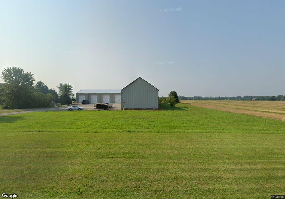
9910 E Curtis Rd Frankenmuth, MI 48734
Estimated Value: $202,000
Studio
--
Bath
8,256
Sq Ft
$24/Sq Ft
Est. Value
About This Home
This home is located at 9910 E Curtis Rd, Frankenmuth, MI 48734 and is currently priced at $202,000, approximately $24 per square foot. 9910 E Curtis Rd is a home located in Saginaw County with nearby schools including List Elementary, E.F. Rittmueller Middle School, and Frankenmuth High School.
Ownership History
Date
Name
Owned For
Owner Type
Purchase Details
Closed on
Apr 9, 2010
Sold by
Poellet Dale K
Bought by
Signature Bank
Current Estimated Value
Purchase Details
Closed on
Oct 3, 2003
Sold by
Worden Ralph G
Bought by
Koester John C and Koester Ann Leone
Home Financials for this Owner
Home Financials are based on the most recent Mortgage that was taken out on this home.
Original Mortgage
$140,000
Interest Rate
5.71%
Mortgage Type
Purchase Money Mortgage
Purchase Details
Closed on
Jul 23, 1997
Create a Home Valuation Report for This Property
The Home Valuation Report is an in-depth analysis detailing your home's value as well as a comparison with similar homes in the area
Home Values in the Area
Average Home Value in this Area
Purchase History
| Date | Buyer | Sale Price | Title Company |
|---|---|---|---|
| Signature Bank | $5,021,147 | -- | |
| Koester John C | -- | -- | |
| -- | $17,000 | -- |
Source: Public Records
Mortgage History
| Date | Status | Borrower | Loan Amount |
|---|---|---|---|
| Previous Owner | Koester John C | $140,000 |
Source: Public Records
Tax History
| Year | Tax Paid | Tax Assessment Tax Assessment Total Assessment is a certain percentage of the fair market value that is determined by local assessors to be the total taxable value of land and additions on the property. | Land | Improvement |
|---|---|---|---|---|
| 2025 | $1,250 | $148,700 | $0 | $0 |
| 2024 | $1,212 | $146,800 | $0 | $0 |
| 2023 | $1,154 | $132,800 | $0 | $0 |
| 2022 | $5,017 | $115,400 | $0 | $0 |
| 2021 | $4,679 | $135,100 | $0 | $0 |
| 2020 | $1,772 | $73,100 | $0 | $0 |
| 2019 | $480 | $43,500 | $0 | $0 |
| 2018 | $109 | $42,700 | $0 | $0 |
| 2017 | $442 | $42,800 | $0 | $0 |
| 2016 | $446 | $28,500 | $0 | $0 |
| 2014 | -- | $29,100 | $0 | $16,800 |
| 2013 | -- | $27,300 | $0 | $0 |
Source: Public Records
Map
Nearby Homes
- 000 W Tuscola St
- 10 Harlan Ct
- 12 Wilshire Dr
- 6 Wilshire Dr Unit A6
- 2 Wilshire Dr Unit A4
- 640 Heine St
- 226 List St
- 53 Pine Grove Dr
- 249 Churchgrove Rd
- 456 Groveland Dr
- 235 Cherry St
- 11 Cambridge Park
- 9351 Lange Rd
- 405 Nickless St
- 1 Sunburst Ct
- 11086 N Evergreen Dr
- 936 Flora Ct
- 10487 Roedel Rd
- 168 Kingsbrook Dr
- 192 Queen's Creek Dr
- 9930 E Curtis Rd
- 9960 E Curtis Rd
- 0 E Curtis Rd
- 9665 E Curtis Rd
- 7340 Flint Rd
- 6630 S Dehmel Rd
- 0 Flint Unit 940 B-8 20074814
- 893 W Tuscola St
- 7235 Flint Rd
- 9575 E Curtis Rd
- 9940 Warnick Rd
- 9830 Warnick Rd
- 907 W Tuscola St
- 907 W Tuscola St
- 1005 W Tuscola St
- 1015 W Tuscola St
- 895 W Tuscola St
- 1010 Flint St
- 309 W Jefferson St
- 10110 Tuscola Rd
Your Personal Tour Guide
Ask me questions while you tour the home.