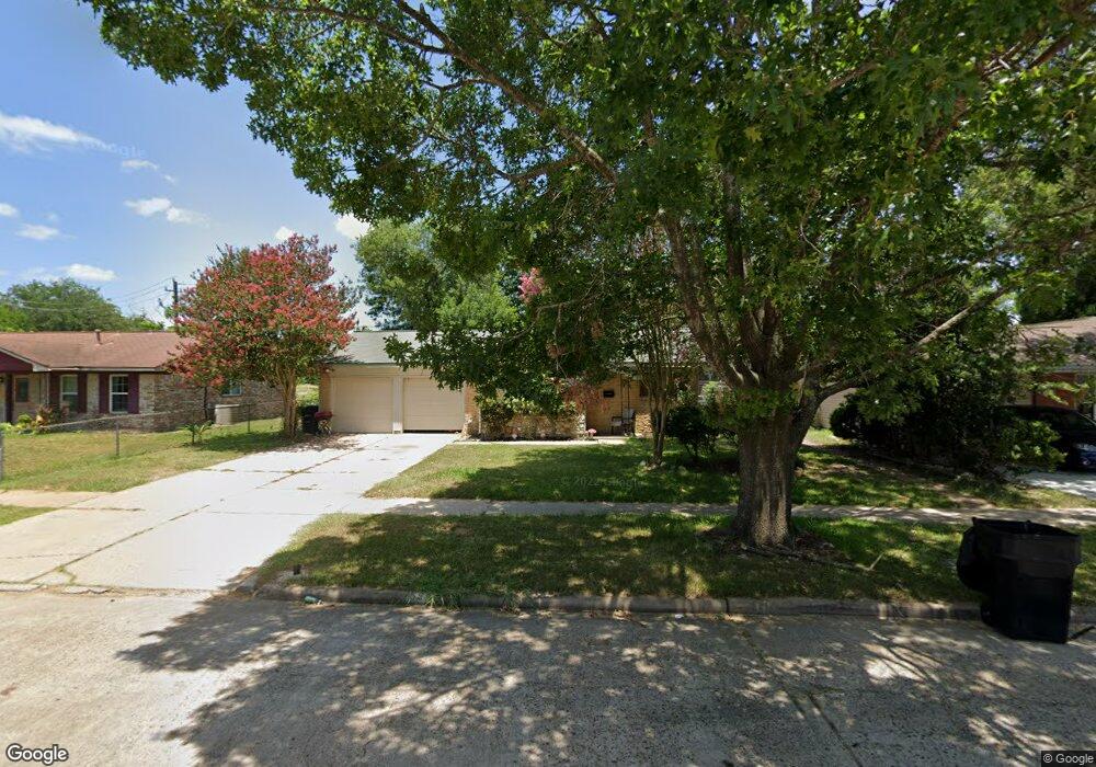
9911 Southport Dr Houston, TX 77089
Southbelt-Ellington NeighborhoodEstimated Value: $208,000 - $222,000
3
Beds
2
Baths
1,288
Sq Ft
$166/Sq Ft
Est. Value
About This Home
This home is located at 9911 Southport Dr, Houston, TX 77089 and is currently estimated at $214,273, approximately $166 per square foot. 9911 Southport Dr is a home located in Harris County with nearby schools including Atkinson Elementary School, Morris Middle School, and Beverly Hill Intermediate School.
Ownership History
Date
Name
Owned For
Owner Type
Purchase Details
Closed on
Oct 29, 2013
Sold by
Martinez Juan Manuel and Martinez Angelica Maria
Bought by
Martinez Juan Manuel
Current Estimated Value
Purchase Details
Closed on
Jun 20, 2012
Sold by
Carver Kim M
Bought by
Martinez Juan Manuel and Martinez Angelica Maria
Purchase Details
Closed on
Nov 12, 2010
Sold by
Carver Russell E
Bought by
Carver Kim M
Create a Home Valuation Report for This Property
The Home Valuation Report is an in-depth analysis detailing your home's value as well as a comparison with similar homes in the area
Home Values in the Area
Average Home Value in this Area
Purchase History
| Date | Buyer | Sale Price | Title Company |
|---|---|---|---|
| Martinez Juan Manuel | -- | None Available | |
| Martinez Juan Manuel | -- | None Available | |
| Carver Kim M | -- | None Available |
Source: Public Records
Tax History Compared to Growth
Tax History
| Year | Tax Paid | Tax Assessment Tax Assessment Total Assessment is a certain percentage of the fair market value that is determined by local assessors to be the total taxable value of land and additions on the property. | Land | Improvement |
|---|---|---|---|---|
| 2025 | $2,476 | $160,378 | $52,954 | $107,424 |
| 2024 | $2,476 | $171,962 | $52,954 | $119,008 |
| 2023 | $2,476 | $171,962 | $52,954 | $119,008 |
| 2022 | $4,177 | $175,115 | $52,954 | $122,161 |
| 2021 | $3,984 | $149,081 | $38,833 | $110,248 |
| 2020 | $3,696 | $145,945 | $38,833 | $107,112 |
| 2019 | $3,534 | $142,459 | $30,007 | $112,452 |
| 2018 | $1,282 | $111,430 | $27,183 | $84,247 |
| 2017 | $3,052 | $111,430 | $27,183 | $84,247 |
| 2016 | $2,775 | $103,008 | $27,183 | $75,825 |
| 2015 | $2,413 | $91,603 | $19,416 | $72,187 |
| 2014 | $2,413 | $86,091 | $19,416 | $66,675 |
Source: Public Records
Map
Nearby Homes
- 11303 Caribbean Ln
- 11311 Caribbean Ln
- 9743 Santa Monica Blvd
- 10906 Keese Dr
- 9711 Ebb St
- 10815 Ritow St
- 10207 Rambling Trail
- 10214 Buena Park Dr
- 10018 Ramey St
- 9914 Sumerlin St
- 11414 Kirkwyn Dr
- 10906 Stover St
- 10619 Wheaton Dr
- 9407 Kingspass St
- 9411 Kingsvalley St
- 9721 Foredale St
- 10406 Sagestar Ln
- 10410 Sagestar Ln
- 10411 Sagewillow Ln
- 10442 Southport Dr
- 9915 Southport Dr
- 9907 Southport Dr
- 9919 Southport Dr
- 9903 Southport Dr
- 9923 Southport Dr
- 9922 Southport Dr
- 10802 Twig Dr
- 9927 Southport Dr
- 9906 Pierre Ct
- 9910 Pierre Ct
- 9902 Pierre Ct
- 9914 Pierre Ct
- 9903 Ebb St
- 10806 Twig Dr
- 9918 Pierre Ct
- 11114 Indus St
- 9926 Southport Dr
- 9806 Southport Dr
- 9810 Rambling Trail
- 9907 Ebb St