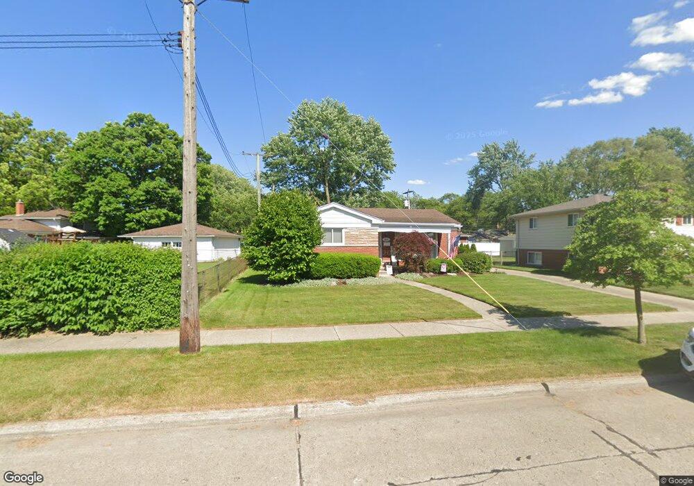
9912 Adams St Livonia, MI 48150
Estimated Value: $289,000 - $323,000
3
Beds
2
Baths
1,060
Sq Ft
$288/Sq Ft
Est. Value
About This Home
This home is located at 9912 Adams St, Livonia, MI 48150 and is currently estimated at $305,135, approximately $287 per square foot. 9912 Adams St is a home located in Wayne County with nearby schools including Johnson Upper Elementary School, Randolph Elementary School, and Frost Middle School.
Ownership History
Date
Name
Owned For
Owner Type
Purchase Details
Closed on
Jun 14, 2022
Sold by
Glenn Blaskay Revocable Living Trust
Bought by
Knapp Sarah Kathleen
Current Estimated Value
Home Financials for this Owner
Home Financials are based on the most recent Mortgage that was taken out on this home.
Original Mortgage
$250,040
Outstanding Balance
$235,062
Interest Rate
4%
Mortgage Type
New Conventional
Estimated Equity
$70,073
Purchase Details
Closed on
Jan 8, 2022
Sold by
Blaskay Glenn R and Blaskay Barbara A
Bought by
Glenn Blaskay Revocable Living Trust
Create a Home Valuation Report for This Property
The Home Valuation Report is an in-depth analysis detailing your home's value as well as a comparison with similar homes in the area
Home Values in the Area
Average Home Value in this Area
Purchase History
| Date | Buyer | Sale Price | Title Company |
|---|---|---|---|
| Knapp Sarah Kathleen | $263,200 | First American Title | |
| Glenn Blaskay Revocable Living Trust | -- | First American Title |
Source: Public Records
Mortgage History
| Date | Status | Borrower | Loan Amount |
|---|---|---|---|
| Open | Knapp Sarah Kathleen | $250,040 |
Source: Public Records
Tax History Compared to Growth
Tax History
| Year | Tax Paid | Tax Assessment Tax Assessment Total Assessment is a certain percentage of the fair market value that is determined by local assessors to be the total taxable value of land and additions on the property. | Land | Improvement |
|---|---|---|---|---|
| 2025 | $2,507 | $127,400 | $0 | $0 |
| 2024 | $2,507 | $121,500 | $0 | $0 |
| 2023 | $2,485 | $112,200 | $0 | $0 |
| 2022 | $2,930 | $102,600 | $0 | $0 |
| 2021 | $2,846 | $98,900 | $0 | $0 |
| 2019 | $2,730 | $89,000 | $0 | $0 |
| 2018 | $1,411 | $83,900 | $0 | $0 |
| 2017 | $2,497 | $79,700 | $0 | $0 |
| 2016 | $2,625 | $77,900 | $0 | $0 |
| 2015 | $6,131 | $71,490 | $0 | $0 |
| 2012 | -- | $58,510 | $16,540 | $41,970 |
Source: Public Records
Map
Nearby Homes
- 38831 Orangelawn St
- 9130 E Bassett Ct
- 9365 Tavistock Dr
- 38876 Northfield Ave
- 11348 Cedar Ln
- 9215 Westbury Ave
- 8894 Knolson Ave
- 39122 Dover St
- 40526 Newport Dr Unit 99
- 40419 Orangelawn Ave
- The St. Clair Plan at Walton Oaks
- The Chelsea Plan at Walton Oaks
- The Superior Plan at Walton Oaks
- 37801 Plymouth Rd
- 40584 Newport Ct
- 38671 Belliveau St
- 37739 Northfield Ave
- 40504 Newport Dr
- 40390 Newport Dr Unit 60
- 40699 Newport Dr Unit 256
- 9900 Adams St
- 38847 Orangelawn St
- 9742 Adams St
- 9901 Pere Ave
- 38815 Orangelawn St
- 9743 Pere Ave
- 9911 Adams St
- 9925 Adams St
- 9728 Adams St
- 39011 Pinetree St
- 9731 Pere Ave
- 9941 Adams St
- 39026 Pinetree St
- 9725 Adams St
- 38836 Richland St
- 38838 Orangelawn St
- 38820 Richland St
- 38824 Orangelawn St
- 9916 Pere Ave
- 38852 Orangelawn St