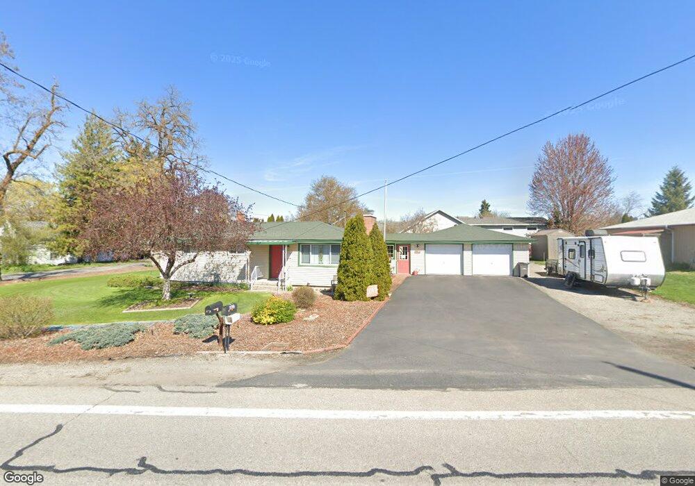
9913 E Empire Ave Spokane, WA 99206
Estimated Value: $344,000 - $353,000
3
Beds
1
Bath
1,048
Sq Ft
$333/Sq Ft
Est. Value
About This Home
This home is located at 9913 E Empire Ave, Spokane, WA 99206 and is currently estimated at $349,078, approximately $333 per square foot. 9913 E Empire Ave is a home located in Spokane County with nearby schools including Orchard Center Elementary, Centennial Middle School, and West Valley High School.
Ownership History
Date
Name
Owned For
Owner Type
Purchase Details
Closed on
Dec 14, 2000
Sold by
Roberts Karrie M
Bought by
Lock Gary E and Lock Marlene Rae
Current Estimated Value
Home Financials for this Owner
Home Financials are based on the most recent Mortgage that was taken out on this home.
Original Mortgage
$55,000
Outstanding Balance
$20,283
Interest Rate
7.71%
Mortgage Type
Purchase Money Mortgage
Estimated Equity
$328,795
Purchase Details
Closed on
Sep 17, 1998
Sold by
Roberts Craig M
Bought by
Roberts Karrie M
Create a Home Valuation Report for This Property
The Home Valuation Report is an in-depth analysis detailing your home's value as well as a comparison with similar homes in the area
Home Values in the Area
Average Home Value in this Area
Purchase History
| Date | Buyer | Sale Price | Title Company |
|---|---|---|---|
| Lock Gary E | $65,438 | First American Title Ins | |
| Roberts Karrie M | -- | -- |
Source: Public Records
Mortgage History
| Date | Status | Borrower | Loan Amount |
|---|---|---|---|
| Open | Lock Gary E | $55,000 |
Source: Public Records
Tax History
| Year | Tax Paid | Tax Assessment Tax Assessment Total Assessment is a certain percentage of the fair market value that is determined by local assessors to be the total taxable value of land and additions on the property. | Land | Improvement |
|---|---|---|---|---|
| 2025 | $3,730 | $369,400 | $115,000 | $254,400 |
| 2024 | $3,730 | $348,800 | $80,000 | $268,800 |
| 2023 | $3,598 | $361,400 | $80,000 | $281,400 |
| 2022 | $3,182 | $353,500 | $80,000 | $273,500 |
| 2021 | $3,011 | $230,300 | $40,500 | $189,800 |
| 2020 | $2,867 | $195,900 | $40,500 | $155,400 |
| 2019 | $2,424 | $183,400 | $40,500 | $142,900 |
| 2018 | $2,642 | $165,500 | $40,500 | $125,000 |
| 2017 | $2,280 | $145,050 | $28,050 | $117,000 |
| 2016 | $2,178 | $136,350 | $28,050 | $108,300 |
| 2015 | $2,186 | $134,250 | $28,050 | $106,200 |
| 2014 | -- | $127,850 | $28,050 | $99,800 |
| 2013 | -- | $0 | $0 | $0 |
Source: Public Records
Map
Nearby Homes
- 0 E Empire Ave
- 10005 E Empire Ave
- 3101 N Fowler Rd
- 10218 E Empire Ave
- 2715 N Boeing Rd
- 2904 N Maple Rd
- 3924 N Sunderland Ct
- 9014 E Frederick Ave
- 8928 E South Riverway Ave
- 8915 E Grace Ave
- 10807 E Trent Ave
- 10915 E Fairview Ave
- 9523 E Michielli Ln Unit lot 6
- 9523 E Michielli Ln
- 9511 E Michielli Ln
- 9519 E Michielli Ln
- 9519 E Michielli Ln Unit lot 5
- 9515 E Michielli Ln
- 4323 N Farr Rd
- 11118 E Fairview Ave
- 3112 N Woodruff Rd
- 9912 E Empire Ave
- 9915 E Empire Ave
- 9703 E Empire Ave
- XXX E Empire Ave
- 3109 N Woodruff Rd
- 9819 E Empire Ave
- 9916 E Empire Ave
- 102XX E Empire Ave
- 3116 N Woodruff Rd
- 3111 N Woodruff Rd
- 9817 E Empire Ave
- 10003 E Empire Ave
- 3020 N Woodruff Rd
- 9816 E Empire Ave
- 9924 E Empire Ave
- 3120 N Woodruff Rd
- 9807 E Empire Ave
- 9920 E Empire Ave
- 3014 N Woodruff Rd
Your Personal Tour Guide
Ask me questions while you tour the home.