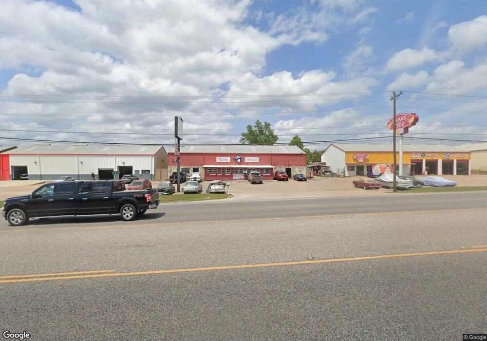
9914 Highway 290 W Unit F Austin, TX 78736
--
Bed
--
Bath
6,554
Sq Ft
0.45
Acres
About This Home
This home is located at 9914 Highway 290 W Unit F, Austin, TX 78736. 9914 Highway 290 W Unit F is a home located in Travis County with nearby schools including Baldwin Elementary School, Small Middle School, and James Bowie High School.
Ownership History
Date
Name
Owned For
Owner Type
Purchase Details
Closed on
Oct 29, 2024
Sold by
Credo Catholic Llc
Bought by
Fustes Carson and Fustes Branson
Home Financials for this Owner
Home Financials are based on the most recent Mortgage that was taken out on this home.
Original Mortgage
$1,450,000
Outstanding Balance
$1,435,781
Interest Rate
6.2%
Mortgage Type
New Conventional
Purchase Details
Closed on
Nov 4, 2011
Sold by
Vanvanloenen Terry Van
Bought by
Credo Catholic Llc
Home Financials for this Owner
Home Financials are based on the most recent Mortgage that was taken out on this home.
Original Mortgage
$345,000
Interest Rate
4.14%
Mortgage Type
Purchase Money Mortgage
Create a Home Valuation Report for This Property
The Home Valuation Report is an in-depth analysis detailing your home's value as well as a comparison with similar homes in the area
Home Values in the Area
Average Home Value in this Area
Purchase History
| Date | Buyer | Sale Price | Title Company |
|---|---|---|---|
| Fustes Carson | -- | Prominent Title | |
| Credo Catholic Llc | -- | None Available |
Source: Public Records
Mortgage History
| Date | Status | Borrower | Loan Amount |
|---|---|---|---|
| Open | Fustes Carson | $1,450,000 | |
| Previous Owner | Credo Catholic Llc | $345,000 |
Source: Public Records
Tax History Compared to Growth
Tax History
| Year | Tax Paid | Tax Assessment Tax Assessment Total Assessment is a certain percentage of the fair market value that is determined by local assessors to be the total taxable value of land and additions on the property. | Land | Improvement |
|---|---|---|---|---|
| 2025 | $9,110 | $588,920 | $117,739 | $471,181 |
| 2023 | $13,582 | $967,786 | $117,739 | $850,047 |
| 2022 | $13,786 | $885,279 | $117,739 | $767,540 |
| 2021 | $14,052 | $826,237 | $117,739 | $708,498 |
| 2020 | $14,485 | $812,951 | $117,739 | $695,212 |
| 2018 | $15,567 | $832,807 | $117,739 | $715,068 |
| 2017 | $9,703 | $513,852 | $49,058 | $464,794 |
| 2016 | $9,000 | $476,628 | $49,058 | $427,570 |
| 2015 | $8,282 | $402,852 | $49,058 | $353,794 |
| 2014 | $8,282 | $416,236 | $49,058 | $367,178 |
Source: Public Records
Map
Nearby Homes
- 9909 Oliver Dr
- 10133 Oliver Dr
- 9614 Bronzewood Dr
- 10204 Oak Grove Cir
- 9301 Elm Grove Cir
- 9908 Derecho Bend
- 9805 Ledgestone Terrace
- 9926 Ledgestone Terrace
- 9114 U S 290
- 9504 Flintrock Cir
- TBD Highway 290
- 8004 Kuhn Dr
- 8100 Kuhn Dr
- 9438 Circle Dr
- 11420 Rim Rock Trail
- 9207 Zyle Rd
- 9513 Morninghill Dr
- 7817 Aria Loop
- 8705 S View Rd
- 9011 San Diego Rd
- 9908 Hwy 290 W
- 9908 Highway 290 W
- 9919 Oliver Dr
- 10008 Schmidt Ln
- 9809 Highway 290 W
- 9907 Oliver Dr
- 10125 Oliver Dr
- 9916 Oliver Dr
- 9906 Oliver Dr
- 9907 Highway 290 W Unit B
- 9907 Highway 290 W Unit B
- 9704 Shallowford Dr
- 10605 Oliver Cir
- 10604 Oliver Cir
- 9608 Bronzewood Dr
- 10200 Highway 290 W
- 10200 W Highway 290
- 10200 E Highway 290
- 9905 Oliver Dr
- 9908 Oliver Dr