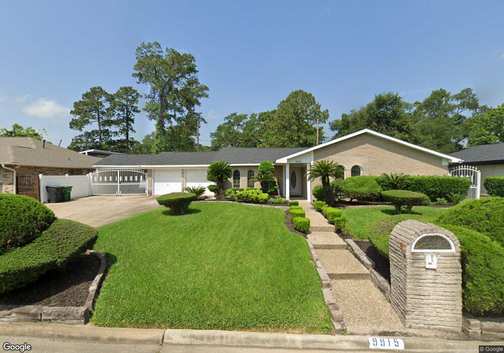
9915 Shady Dr Houston, TX 77016
East Little York NeighborhoodEstimated Value: $277,000 - $340,000
3
Beds
2
Baths
2,615
Sq Ft
$114/Sq Ft
Est. Value
About This Home
This home is located at 9915 Shady Dr, Houston, TX 77016 and is currently estimated at $298,749, approximately $114 per square foot. 9915 Shady Dr is a home located in Harris County with nearby schools including Shadydale Elementary School, Forest Brook Middle, and North Forest High School.
Ownership History
Date
Name
Owned For
Owner Type
Purchase Details
Closed on
Jan 4, 1996
Sold by
Osborne Geraldine
Bought by
Howard Vincent and Howard Michelle Franklin
Current Estimated Value
Home Financials for this Owner
Home Financials are based on the most recent Mortgage that was taken out on this home.
Original Mortgage
$57,000
Outstanding Balance
$778
Interest Rate
7.34%
Estimated Equity
$297,971
Create a Home Valuation Report for This Property
The Home Valuation Report is an in-depth analysis detailing your home's value as well as a comparison with similar homes in the area
Home Values in the Area
Average Home Value in this Area
Purchase History
| Date | Buyer | Sale Price | Title Company |
|---|---|---|---|
| Howard Vincent | -- | Texas American Title Company |
Source: Public Records
Mortgage History
| Date | Status | Borrower | Loan Amount |
|---|---|---|---|
| Open | Howard Vincent | $57,000 |
Source: Public Records
Tax History Compared to Growth
Tax History
| Year | Tax Paid | Tax Assessment Tax Assessment Total Assessment is a certain percentage of the fair market value that is determined by local assessors to be the total taxable value of land and additions on the property. | Land | Improvement |
|---|---|---|---|---|
| 2025 | $16 | $309,816 | $58,780 | $251,036 |
| 2024 | $16 | $291,501 | $58,780 | $232,721 |
| 2023 | $16 | $251,042 | $38,575 | $212,467 |
| 2022 | $3,329 | $203,085 | $29,390 | $173,695 |
| 2021 | $3,203 | $137,429 | $18,369 | $119,060 |
| 2020 | $3,154 | $137,429 | $18,369 | $119,060 |
| 2019 | $2,996 | $133,285 | $14,695 | $118,590 |
| 2018 | $1,602 | $99,051 | $14,695 | $84,356 |
| 2017 | $2,151 | $89,154 | $12,171 | $76,983 |
| 2016 | $1,956 | $77,345 | $12,171 | $65,174 |
| 2015 | $1,323 | $77,345 | $12,171 | $65,174 |
| 2014 | $1,323 | $72,671 | $12,171 | $60,500 |
Source: Public Records
Map
Nearby Homes
- 9711 Bertwood St
- 5914 Breland St
- 9603 Bertwood St
- 9838 Camay Dr
- 5715 Rietta St
- 5713 Rietta St
- 6206 Antha St
- 5203 Mayle St
- 5125 Mayle St
- 6226 E Tidwell Rd
- 9410 Dandy St
- 4708 Antha St
- 9421 Sandra St
- 9325 Grady St
- 5009 Tidwell Rd
- 6110 Tidwell Rd
- 9705 Peachtree St
- 9603 Homestead Rd
- 5418 Parker Rd
- 8504 Shady Dr
- 9907 Shady Dr
- 9923 Shady Dr
- 9906 Bertwood St
- 9910 Bertwood St
- 9914 Shady Dr
- 9822 Bertwood St
- 9903 Shady Dr
- 6123 Shady Timbers Dr
- 9929 Shady Dr
- 9818 Bertwood St
- 6127 Shady Timbers Dr
- 9918 Shady Dr
- 9814 Bertwood St
- 9918 Bertwood St
- 9935 Shady Dr
- 6135 Shady Timbers Dr
- 9907 Bertwood St
- 9913 Bertwood St
- 9823 Bertwood St
- 9924 Shady Dr