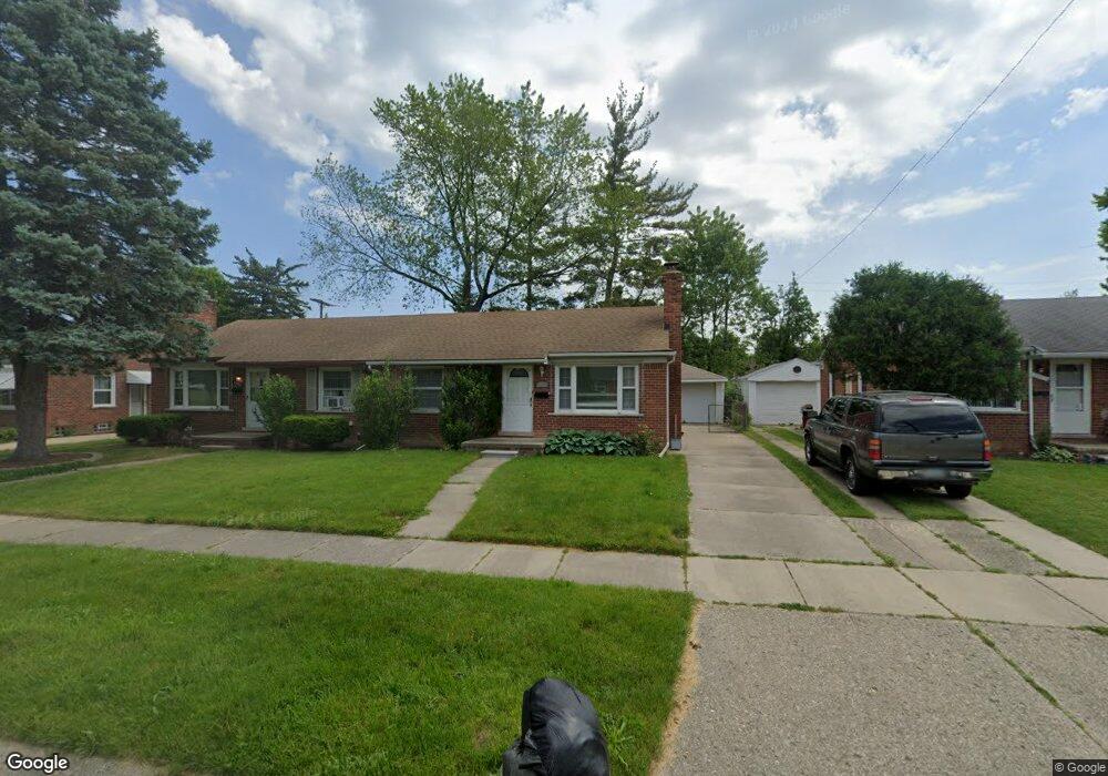
9918 Woodring St Unit Bldg-Unit Livonia, MI 48150
Estimated Value: $147,240 - $170,000
2
Beds
2
Baths
797
Sq Ft
$200/Sq Ft
Est. Value
About This Home
This home is located at 9918 Woodring St Unit Bldg-Unit, Livonia, MI 48150 and is currently estimated at $159,560, approximately $200 per square foot. 9918 Woodring St Unit Bldg-Unit is a home located in Wayne County with nearby schools including Grant Elementary School, Emerson Middle School, and Cooper Upper Elementary School.
Ownership History
Date
Name
Owned For
Owner Type
Purchase Details
Closed on
Apr 13, 2024
Sold by
Orlewicz Dennis J and Orlewicz Cheryl L
Bought by
Orlewicz Family Trust and Orlewicz
Current Estimated Value
Purchase Details
Closed on
Dec 20, 2020
Sold by
Orlewicz Dennis J and Orlewicz Cheryl L
Bought by
Orlewicz Dennis J and Orlewicz Cheryl L
Purchase Details
Closed on
Aug 10, 2012
Sold by
Orlewicz Dennis J and Orlewicz Cheryl L
Bought by
Orlewicz Dennis J and Orlewicz Cheryl L
Purchase Details
Closed on
Nov 16, 2011
Sold by
Secretary Of Housing & Urban Development
Bought by
Blank Glenn and Blank Diane
Purchase Details
Closed on
Aug 11, 2010
Sold by
Robinson Valerie and Dettore Dominick J
Bought by
Wells Fargo Bank Na
Purchase Details
Closed on
May 30, 2003
Sold by
Pereyra Alicia A
Bought by
Robinson Valerie
Create a Home Valuation Report for This Property
The Home Valuation Report is an in-depth analysis detailing your home's value as well as a comparison with similar homes in the area
Home Values in the Area
Average Home Value in this Area
Purchase History
| Date | Buyer | Sale Price | Title Company |
|---|---|---|---|
| Orlewicz Family Trust | -- | None Listed On Document | |
| Orlewicz Family Trust | -- | None Listed On Document | |
| Orlewicz Dennis J | -- | None Available | |
| Orlewicz Dennis J | -- | Reputation First Title Agenc | |
| Orlewicz Dennis J | $64,900 | Reputation First Title Agenc | |
| Blank Glenn | $35,000 | None Available | |
| Wells Fargo Bank Na | $132,836 | None Available | |
| Robinson Valerie | $125,500 | Title Source |
Source: Public Records
Tax History Compared to Growth
Tax History
| Year | Tax Paid | Tax Assessment Tax Assessment Total Assessment is a certain percentage of the fair market value that is determined by local assessors to be the total taxable value of land and additions on the property. | Land | Improvement |
|---|---|---|---|---|
| 2025 | $1,113 | $67,600 | $0 | $0 |
| 2024 | $1,113 | $63,200 | $0 | $0 |
| 2023 | $1,058 | $60,100 | $0 | $0 |
| 2022 | $1,931 | $54,700 | $0 | $0 |
| 2021 | $1,873 | $51,100 | $0 | $0 |
| 2019 | $1,795 | $31,500 | $0 | $0 |
| 2018 | $902 | $29,600 | $0 | $0 |
| 2017 | $1,682 | $31,600 | $0 | $0 |
| 2016 | $1,844 | $31,600 | $0 | $0 |
| 2015 | $3,148 | $33,320 | $0 | $0 |
| 2012 | -- | $37,050 | $11,000 | $26,050 |
Source: Public Records
Map
Nearby Homes
- 9840 Brookfield St
- 9668 Farmington Rd
- 9834 Brookfield St
- 9928 Brookfield St
- 11327 Mayfield St
- 11015 Fairfield St
- 32611 Vermont St
- 9243 Montana St
- 33961 Richland St
- 11864 Farmington Rd Unit 53
- 32453 Maryland St
- 34080 Orangelawn St
- 11428 Ingram St
- 9253 Idaho St
- 32724 Hees St
- 9235 Texas St
- 32327 Washington St
- 9611 Melrose St
- 11410 Auburndale St
- 11301 Melrose St
- 9918 Woodring St
- 9924 Woodring St
- 9920 Woodring St
- 9914 Woodring St
- 9912 Woodring St
- 9910 Woodring St
- 9915 Roseland St
- 9928 Woodring St
- 9919 Roseland St
- 9921 Roseland St
- 9913 Roseland St
- 9907 Roseland St
- 9911 Roseland St
- 9906 Woodring St
- 9921 Woodring St
- 9919 Woodring St
- 9915 Woodring St
- 9913 Woodring St
- 9905 Roseland St
- 9925 Roseland St