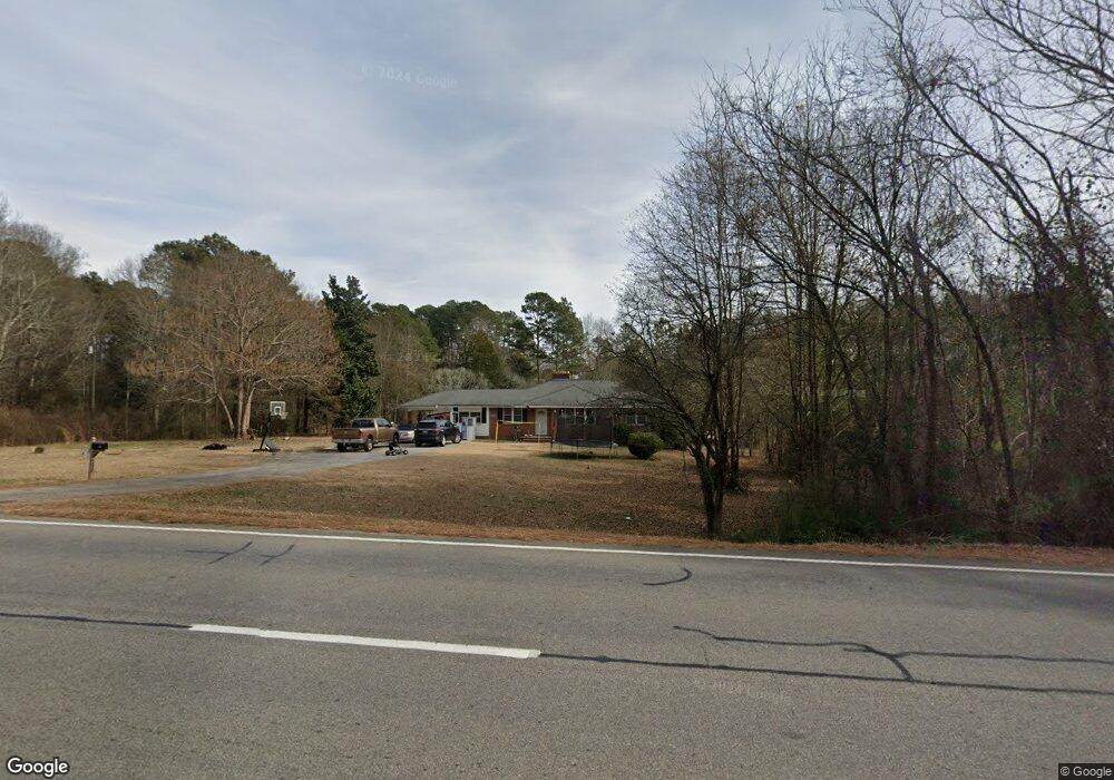
992 Monroe Hwy Bethlehem, GA 30620
Estimated Value: $268,000 - $338,000
3
Beds
2
Baths
1,578
Sq Ft
$191/Sq Ft
Est. Value
About This Home
This home is located at 992 Monroe Hwy, Bethlehem, GA 30620 and is currently estimated at $301,807, approximately $191 per square foot. 992 Monroe Hwy is a home located in Barrow County with nearby schools including Bethlehem Elementary School, Haymon-Morris Middle School, and Apalachee High School.
Ownership History
Date
Name
Owned For
Owner Type
Purchase Details
Closed on
Mar 25, 2022
Sold by
Harris Harriet H
Bought by
Islami Arton
Current Estimated Value
Home Financials for this Owner
Home Financials are based on the most recent Mortgage that was taken out on this home.
Original Mortgage
$265,080
Outstanding Balance
$247,586
Interest Rate
3.89%
Mortgage Type
New Conventional
Estimated Equity
$54,221
Purchase Details
Closed on
Apr 1, 2014
Sold by
Harris Harriet H
Bought by
Harris Harriet H
Create a Home Valuation Report for This Property
The Home Valuation Report is an in-depth analysis detailing your home's value as well as a comparison with similar homes in the area
Home Values in the Area
Average Home Value in this Area
Purchase History
| Date | Buyer | Sale Price | Title Company |
|---|---|---|---|
| Islami Arton | $282,000 | -- | |
| Harris Harriet H | -- | -- |
Source: Public Records
Mortgage History
| Date | Status | Borrower | Loan Amount |
|---|---|---|---|
| Open | Islami Arton | $265,080 |
Source: Public Records
Tax History Compared to Growth
Tax History
| Year | Tax Paid | Tax Assessment Tax Assessment Total Assessment is a certain percentage of the fair market value that is determined by local assessors to be the total taxable value of land and additions on the property. | Land | Improvement |
|---|---|---|---|---|
| 2024 | $1,877 | $78,672 | $29,928 | $48,744 |
| 2023 | $1,457 | $78,672 | $29,928 | $48,744 |
| 2022 | $1,728 | $60,043 | $29,928 | $30,115 |
| 2021 | $1,572 | $51,598 | $23,942 | $27,656 |
| 2020 | $1,432 | $46,742 | $21,546 | $25,196 |
| 2019 | $1,457 | $46,742 | $21,546 | $25,196 |
| 2018 | $873 | $46,742 | $21,546 | $25,196 |
| 2017 | $1,255 | $43,102 | $21,546 | $21,556 |
| 2016 | $760 | $43,102 | $21,546 | $21,556 |
| 2015 | $763 | $43,102 | $21,546 | $21,556 |
| 2014 | $397 | $32,114 | $10,558 | $21,556 |
| 2013 | -- | $30,646 | $10,557 | $20,089 |
Source: Public Records
Map
Nearby Homes
- 0 McElhannon Rd SW Unit 10581793
- 1408 Wyndham Way
- 784 Manger Ave
- 303 Carly Ct
- 164 Manning Gin Rd
- 1050 Bethlehem Church Rd
- 0 Manger Ave E Unit 20154677
- 0 Manger Ave E Unit 20127001
- 449 & 455 Carl-Bethlehem Rd
- 1217 Cabin Bridge Rd
- 724 Manger Ave
- 1109 Ravenwood Dr
- 1101 Ravenwood Dr
- 755 Harry McCarty Rd
- 824 Pruitt Rd
- 468 Grand Oaks Ave
- 1235 Dale Dr
- 575 Mackinaw Dr
- 898 Harrison Mill Rd
- 528 Harris Dr
- 960 Monroe Hwy
- 975 Monroe Hwy
- 1281 Bethlehem Church Rd
- 1281 Bethlehem Church Rd Unit N/
- 1269 Bethlehem Church Rd
- 0 Monroe Highway 11
- 951 State Highway 11
- 989 Monroe Hwy
- 951 Monroe Hwy
- 20A McElhannon Rd SE Unit B
- 24 McElhannon Rd SE
- 34 McElhannon Rd SE
- 00 McElhannon Rd SE
- 00 McElhannon Rd SE Unit 2.78AC
- 00 McElhannon Rd SE
- 0 McElhannon Rd SW Unit 8260347
- 0 McElhannon Rd SW Unit 8247124
- 0 McElhannon Rd SW Unit 11.98 Ac 8046629
- 0 McElhannon Rd SW Unit 11.98 Ac 8046635
- 0 McElhannon Rd SW Unit 2510147