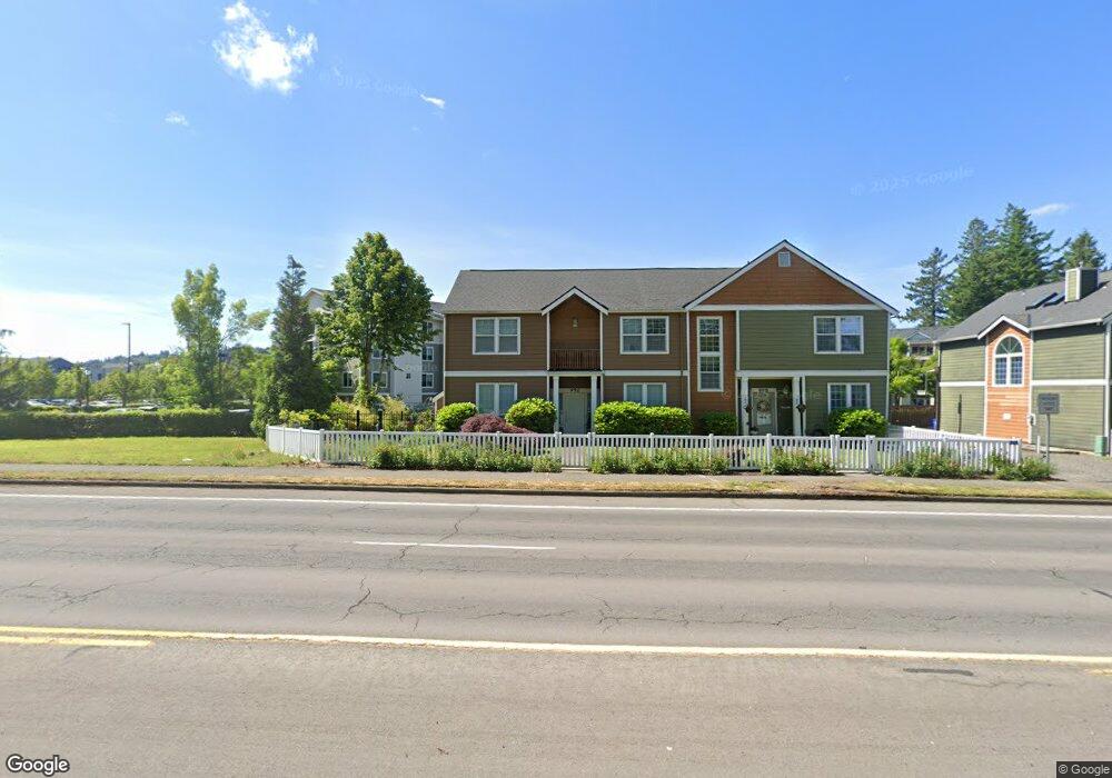
992 NW Burnside Rd Unit 13 Gresham, OR 97030
Northwest Gresham NeighborhoodEstimated Value: $336,028 - $382,000
2
Beds
3
Baths
1,539
Sq Ft
$229/Sq Ft
Est. Value
About This Home
This home is located at 992 NW Burnside Rd Unit 13, Gresham, OR 97030 and is currently estimated at $352,757, approximately $229 per square foot. 992 NW Burnside Rd Unit 13 is a home located in Multnomah County with nearby schools including North Gresham Elementary School, Clear Creek Middle School, and Gresham High School.
Ownership History
Date
Name
Owned For
Owner Type
Purchase Details
Closed on
Feb 13, 2003
Sold by
Rees Mary Anne
Bought by
Sadle Carol D and Williams Vera Eileen
Current Estimated Value
Home Financials for this Owner
Home Financials are based on the most recent Mortgage that was taken out on this home.
Original Mortgage
$111,960
Outstanding Balance
$46,857
Interest Rate
5.76%
Mortgage Type
Purchase Money Mortgage
Estimated Equity
$305,900
Purchase Details
Closed on
Feb 24, 2000
Sold by
Parker Development Northwest Inc
Bought by
Rees Mary Anne
Home Financials for this Owner
Home Financials are based on the most recent Mortgage that was taken out on this home.
Original Mortgage
$144,400
Interest Rate
8.16%
Mortgage Type
Purchase Money Mortgage
Create a Home Valuation Report for This Property
The Home Valuation Report is an in-depth analysis detailing your home's value as well as a comparison with similar homes in the area
Home Values in the Area
Average Home Value in this Area
Purchase History
| Date | Buyer | Sale Price | Title Company |
|---|---|---|---|
| Sadle Carol D | $139,950 | First American | |
| Rees Mary Anne | $152,000 | Fidelity National Title Co |
Source: Public Records
Mortgage History
| Date | Status | Borrower | Loan Amount |
|---|---|---|---|
| Open | Sadle Carol D | $111,960 | |
| Previous Owner | Rees Mary Anne | $144,400 |
Source: Public Records
Tax History
| Year | Tax Paid | Tax Assessment Tax Assessment Total Assessment is a certain percentage of the fair market value that is determined by local assessors to be the total taxable value of land and additions on the property. | Land | Improvement |
|---|---|---|---|---|
| 2025 | $4,342 | $213,360 | -- | -- |
| 2024 | $4,156 | $207,150 | -- | -- |
| 2023 | $3,787 | $201,120 | $0 | $0 |
| 2022 | $3,681 | $195,270 | $0 | $0 |
| 2021 | $3,588 | $189,590 | $0 | $0 |
| 2020 | $3,376 | $184,070 | $0 | $0 |
| 2019 | $3,288 | $178,710 | $0 | $0 |
| 2018 | $3,135 | $173,510 | $0 | $0 |
| 2017 | $3,008 | $168,460 | $0 | $0 |
| 2016 | $2,652 | $163,560 | $0 | $0 |
Source: Public Records
Map
Nearby Homes
- 21033 SE Clay Ct
- 1811 NW 19th St
- 2013 NW Bella Vista Dr
- 21532 SE Alder St
- 1861 NW Wonderview Ave
- 21400 SE Stark St Unit 2
- 21260 SE Stark St
- 21016 SE Stark St Unit 71
- 21016 SE Stark St Unit 69
- 1596 NW Riverview Ave
- 1035 SE 225th Ave
- 1325 NW 9th St
- 21525 SE Oak St
- 54 NW 13th St
- 209 SE 214th Ave
- 1387 NW Riverview Ave Unit 14B
- 210 SE 218th Ave
- 21553 SE Ankeny Terrace
- 132 SE 214th Ave
- 349 NE 18th St
- 998 NW Burnside Rd Unit 12
- 998 NW Burnside Rd
- 992 NW Burnside Rd
- 992 NW Burnside Rd (Bom)
- 1024 NW Burnside Rd Unit 11
- 1024 NW Burnside Rd
- 1028 NW Burnside Rd Unit 10
- 1028 NW Burnside Rd
- 1032 NW Burnside Rd Unit 9
- 1036 NW Burnside Rd Unit 8
- 1036 NW Burnside Rd
- 1044 NW Burnside Rd Unit 7
- 1044 NW Burnside Rd
- 21506 SE Main St
- 1043 NW Council Dr Unit 15
- 1043 NW Council Dr
- 1048 NW Burnside Rd Unit 6
- 1048 NW Burnside Rd
- 1047 NW Council Dr Unit 16
- 1047 NW Council Dr Unit DR
Your Personal Tour Guide
Ask me questions while you tour the home.