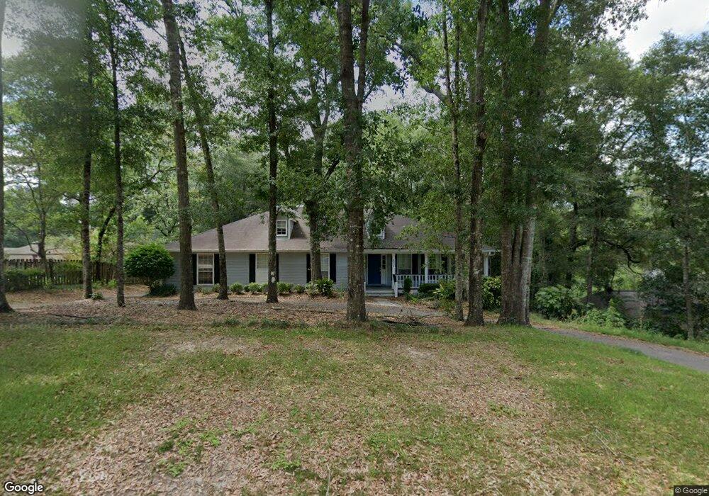
9920 Millbrook Dr Mobile, AL 36695
Cottage Park NeighborhoodEstimated Value: $281,000 - $336,000
4
Beds
3
Baths
2,308
Sq Ft
$131/Sq Ft
Est. Value
About This Home
This home is located at 9920 Millbrook Dr, Mobile, AL 36695 and is currently estimated at $302,224, approximately $130 per square foot. 9920 Millbrook Dr is a home located in Mobile County with nearby schools including Hutchens Elementary School, Dawes Intermediate School, and Bernice J Causey Middle School.
Ownership History
Date
Name
Owned For
Owner Type
Purchase Details
Closed on
Oct 20, 2023
Sold by
Stewardship Online Llc
Bought by
Wennen Jacquenette L and Wennen Van Theo
Current Estimated Value
Home Financials for this Owner
Home Financials are based on the most recent Mortgage that was taken out on this home.
Original Mortgage
$180,000
Outstanding Balance
$174,456
Interest Rate
5.38%
Mortgage Type
New Conventional
Estimated Equity
$127,768
Purchase Details
Closed on
Dec 2, 2022
Sold by
Botts James B
Bought by
Stewardship Online Llc
Create a Home Valuation Report for This Property
The Home Valuation Report is an in-depth analysis detailing your home's value as well as a comparison with similar homes in the area
Home Values in the Area
Average Home Value in this Area
Purchase History
| Date | Buyer | Sale Price | Title Company |
|---|---|---|---|
| Wennen Jacquenette L | $280,000 | None Listed On Document | |
| Stewardship Online Llc | $205,750 | None Listed On Document |
Source: Public Records
Mortgage History
| Date | Status | Borrower | Loan Amount |
|---|---|---|---|
| Open | Wennen Jacquenette L | $180,000 |
Source: Public Records
Tax History
| Year | Tax Paid | Tax Assessment Tax Assessment Total Assessment is a certain percentage of the fair market value that is determined by local assessors to be the total taxable value of land and additions on the property. | Land | Improvement |
|---|---|---|---|---|
| 2025 | $2,223 | $44,400 | $7,000 | $37,400 |
| 2024 | $2,223 | $32,480 | $7,000 | $25,480 |
| 2023 | $1,645 | $31,920 | $5,600 | $26,320 |
| 2022 | $692 | $15,640 | $2,800 | $12,840 |
| 2021 | $640 | $14,580 | $2,000 | $12,580 |
| 2020 | $640 | $14,580 | $2,000 | $12,580 |
| 2019 | $669 | $15,180 | $0 | $0 |
| 2018 | $678 | $15,360 | $0 | $0 |
| 2017 | $740 | $15,200 | $0 | $0 |
| 2016 | $688 | $15,560 | $0 | $0 |
| 2013 | $709 | $15,120 | $0 | $0 |
Source: Public Records
Map
Nearby Homes
- 9990 Highfield Way
- 2220 Milner Way
- 2151 Elliot Ct
- 9846 Nadine Ln S
- 2254 Summit View Cir W
- 9886 Summit View Cir
- 9870 Summit View Cir N
- 9852 Summit View Cir N
- 9852 Summit View Cir
- 9975 Turtle Creek Ln S
- 9838 Summit View Cir N
- 9910 Summit View Cir S
- 9880 Summit View Cir N
- 2251 Sable Ridge Dr W
- 2267 Summit View Ct
- 2291 Sable Ridge Dr W
- 9825 Summit View Cir N
- 10061 Sasser Ln
- 9809 Summit View Cir N
- 10191 Sable Ridge Dr
- 9910 Millbrook Dr
- 9910 Millbrook Dr Unit 22
- 1961 Foxgate Rd
- 9911 Millbrook Dr
- 2002 Ridgerock Dr
- 1941 Foxgate Rd
- 2001 Foxgate Rd
- 10041J Foxgate Rd Unit A1
- 9890 Millbrook Dr
- 2020 Ridgerock Dr
- 2011 Foxgate Rd
- 1974 Foxgate Rd
- 1980 Foxgate Rd
- 9880 Millbrook Dr
- 1950 Foxgate Rd
- 2040 Ridgerock Dr
- 1960 Foxgate Rd
- 1940 Foxgate Rd
- 2021 Foxgate Rd
- 2000 Foxgate Rd
Your Personal Tour Guide
Ask me questions while you tour the home.