9920 State Highway 193 Placerville, CA 95667
Estimated Value: $254,323 - $367,000
1
Bed
1
Bath
560
Sq Ft
$531/Sq Ft
Est. Value
About This Home
This home is located at 9920 State Highway 193, Placerville, CA 95667 and is currently estimated at $297,108, approximately $530 per square foot. 9920 State Highway 193 is a home located in El Dorado County with nearby schools including Georgetown Elementary School and Golden Sierra Junior Senior High.
Ownership History
Date
Name
Owned For
Owner Type
Purchase Details
Closed on
Jan 30, 2017
Sold by
Cook Clifford R and Gregson Cheryl R
Bought by
Cook Craig R
Current Estimated Value
Purchase Details
Closed on
Jan 29, 2008
Sold by
Cook Virginia A
Bought by
Virginia A Cook Revocable Living Trust
Create a Home Valuation Report for This Property
The Home Valuation Report is an in-depth analysis detailing your home's value as well as a comparison with similar homes in the area
Home Values in the Area
Average Home Value in this Area
Purchase History
We collect this data history from publicly available records. To have your information removed, we recommend requesting removal directly through your county’s website.
| Date | Buyer | Sale Price | Title Company |
|---|---|---|---|
| Cook Craig R | -- | None Available | |
| Virginia A Cook Revocable Living Trust | -- | None Available |
Source: Public Records
Tax History
| Year | Tax Paid | Tax Assessment Tax Assessment Total Assessment is a certain percentage of the fair market value that is determined by local assessors to be the total taxable value of land and additions on the property. | Land | Improvement |
|---|---|---|---|---|
| 2025 | $1,442 | $120,840 | $88,391 | $32,449 |
| 2024 | $1,442 | $118,471 | $86,658 | $31,813 |
| 2023 | $1,415 | $116,149 | $84,959 | $31,190 |
| 2022 | $1,395 | $113,873 | $83,294 | $30,579 |
| 2021 | $1,355 | $111,641 | $81,661 | $29,980 |
| 2020 | $1,355 | $110,497 | $80,824 | $29,673 |
| 2019 | $1,333 | $108,332 | $79,240 | $29,092 |
| 2018 | $1,297 | $106,209 | $77,687 | $28,522 |
| 2017 | $1,259 | $104,127 | $76,164 | $27,963 |
| 2016 | $1,548 | $102,086 | $74,671 | $27,415 |
| 2015 | $1,490 | $100,554 | $73,550 | $27,004 |
| 2014 | $1,490 | $98,586 | $72,110 | $26,476 |
Source: Public Records
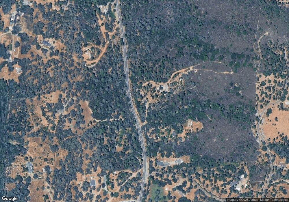
Map
Nearby Homes
- 6741 Big Sandy Ln
- 9803 State Highway 193
- 9620 State Highway 193
- 6533 Shoo Fly Rd
- 9461 State Highway 193 Unit 26
- 6212 Dark Canyon Rd
- 9220 Mule Skinner Rd
- 7411 Riverbend Dr
- 0 Holland Dr Unit 226014695
- 6421 Garden Valley Rd
- 10180 Rock Creek Rd
- 0 Bayne Rd Unit 226038711
- 2213 Old Toll Rd
- 9001 Riverwood Dr
- 5901 Traverse Creek Rd
- 8681 State Highway 193
- 1785 Zia Rd
- 4001 Carlinda
- 6100 Shasta Rd
- 6637 Baralee Ln
- 9950 State Highway 193
- 6581 Kelsey Rd
- 9981 State Highway 193
- 9970 State Highway 193
- 9951 California 193
- 10021 State Highway 193
- 6593 Kelsey Rd
- 4180 Bright Hope Mine Rd
- 9820 State Highway 193
- 4210 Bright Hope Mine Rd
- 6680 Big Sandy Ln
- 6566 Kelsey Rd
- 4178 Bright Hope Mine Rd
- 6700 Big Sandy Ln
- 9785 State Highway 193
- 9785 State Highway 193
- 6561 Kelsey Rd
- 6761 Shoo Fly Rd
- 9800 California 193
- 6550 Kelsey Rd
Your Personal Tour Guide
Ask me questions while you tour the home.