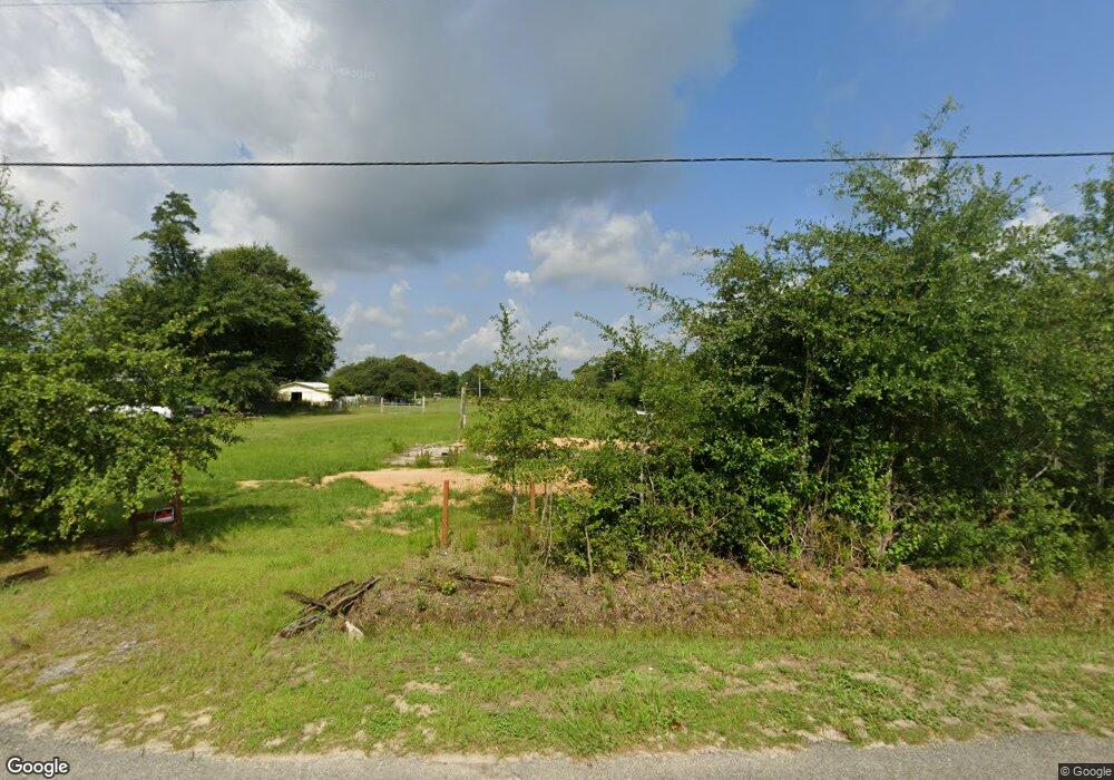
9927 Davenport Ave Youngstown, FL 32466
Estimated Value: $71,000 - $111,000
3
Beds
2
Baths
1,344
Sq Ft
$67/Sq Ft
Est. Value
About This Home
This home is located at 9927 Davenport Ave, Youngstown, FL 32466 and is currently estimated at $89,448, approximately $66 per square foot. 9927 Davenport Ave is a home located in Bay County with nearby schools including Waller Elementary School, Deane Bozeman School, and Merritt Brown Middle School.
Ownership History
Date
Name
Owned For
Owner Type
Purchase Details
Closed on
Jan 28, 2022
Sold by
Wingate Alton B
Bought by
Hickman Todd S and Hickman Mary E
Current Estimated Value
Home Financials for this Owner
Home Financials are based on the most recent Mortgage that was taken out on this home.
Original Mortgage
$81,000
Outstanding Balance
$67,451
Interest Rate
5.75%
Mortgage Type
New Conventional
Estimated Equity
$21,997
Purchase Details
Closed on
Apr 7, 2005
Sold by
Hazard Norman Francis and Hazard Shirley J
Bought by
Wingate Alton B
Create a Home Valuation Report for This Property
The Home Valuation Report is an in-depth analysis detailing your home's value as well as a comparison with similar homes in the area
Home Values in the Area
Average Home Value in this Area
Purchase History
| Date | Buyer | Sale Price | Title Company |
|---|---|---|---|
| Hickman Todd S | $90,000 | Bonney & Associates Pa | |
| Wingate Alton B | $123,000 | Lawyers Title Agncy |
Source: Public Records
Mortgage History
| Date | Status | Borrower | Loan Amount |
|---|---|---|---|
| Open | Hickman Todd S | $81,000 |
Source: Public Records
Tax History Compared to Growth
Tax History
| Year | Tax Paid | Tax Assessment Tax Assessment Total Assessment is a certain percentage of the fair market value that is determined by local assessors to be the total taxable value of land and additions on the property. | Land | Improvement |
|---|---|---|---|---|
| 2024 | $598 | $48,984 | -- | -- |
| 2023 | $598 | $44,531 | $44,528 | $3 |
| 2022 | $338 | $51,704 | $44,528 | $7,176 |
| 2021 | $345 | $51,395 | $44,528 | $6,867 |
| 2020 | $349 | $51,395 | $44,528 | $6,867 |
| 2019 | $348 | $51,395 | $44,528 | $6,867 |
| 2018 | $410 | $60,789 | $0 | $0 |
| 2017 | $421 | $61,160 | $0 | $0 |
| 2016 | $431 | $61,160 | $0 | $0 |
| 2015 | $446 | $61,160 | $0 | $0 |
| 2014 | $471 | $64,760 | $0 | $0 |
Source: Public Records
Map
Nearby Homes
- 00 Las Vegas St
- 00 Ely Ave
- 10737 Johnson Blvd
- 10450 River Alley Rd
- 11105 Fleet St
- 9142 Tracy Way
- 9410 Pembrook Place
- 10215 N Campflowers Rd
- 0 S Fork Loop Unit 769207
- 10216 N Highway 231
- 9328 Chevy Ln
- 9122 Chevy Ln
- 8735 Tower Rd
- 8521 Hudson Rd
- 9323 N Hwy 231 Unit 13.51 ACRES
- 000 N Hwy 231
- 3820 E Highway 388
- 0 E Highway 388
- 8339 Angie Cir
- 00 1st St
- 9938 Davenport Ave
- 9939 Davenport Ave
- 9911 Davenport Ave
- 9936 Davenport Ave
- 10014 Davenport Ave
- 9903 Davenport Ave
- 9914 Davenport Ave
- 9914 Davenport Ave
- 9905 Davenport Ave
- 10129 Davenport Ave
- 10129 Davenport Ave
- 9914-9904 Davenport Ave
- 10050 Davenport Ave
- 00 Davenport Ave
- 9901 Davenport Ave
- 10037 Davenport Ave
- 9840 Davenport Ave
- 10616 Floyd Ln
- 9827 Davenport Ave
- 10727 Las Vegas St