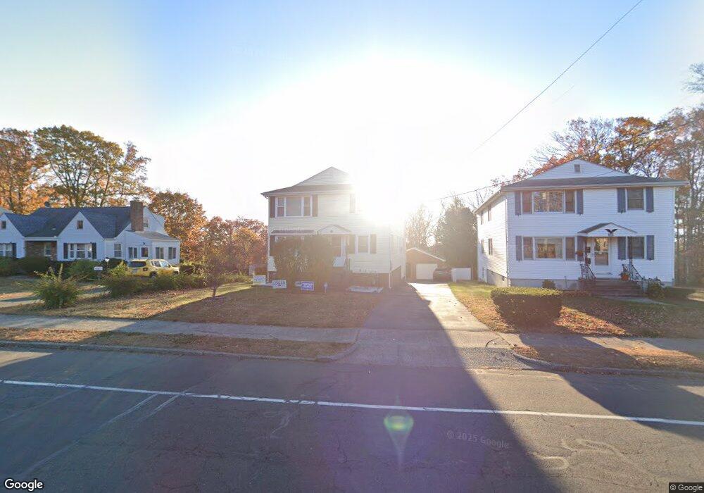
993 Slater Rd New Britain, CT 06053
Estimated Value: $370,889 - $510,000
3
Beds
1
Bath
2,184
Sq Ft
$204/Sq Ft
Est. Value
About This Home
This home is located at 993 Slater Rd, New Britain, CT 06053 and is currently estimated at $445,972, approximately $204 per square foot. 993 Slater Rd is a home located in Hartford County with nearby schools including Jefferson School and Pulaski Middle School.
Ownership History
Date
Name
Owned For
Owner Type
Purchase Details
Closed on
Sep 14, 2007
Sold by
Larosa Angelo and Larosa Rose
Bought by
Florek Mieczyslaw and Florek Celina
Current Estimated Value
Home Financials for this Owner
Home Financials are based on the most recent Mortgage that was taken out on this home.
Original Mortgage
$275,000
Outstanding Balance
$175,268
Interest Rate
6.7%
Estimated Equity
$270,704
Purchase Details
Closed on
Jan 3, 1996
Sold by
Gacek Jacob
Bought by
Pianka Mitchell and Pianka Andrew
Create a Home Valuation Report for This Property
The Home Valuation Report is an in-depth analysis detailing your home's value as well as a comparison with similar homes in the area
Home Values in the Area
Average Home Value in this Area
Purchase History
| Date | Buyer | Sale Price | Title Company |
|---|---|---|---|
| Florek Mieczyslaw | $275,000 | -- | |
| Pianka Mitchell | $37,500 | -- |
Source: Public Records
Mortgage History
| Date | Status | Borrower | Loan Amount |
|---|---|---|---|
| Open | Pianka Mitchell | $275,000 | |
| Previous Owner | Pianka Mitchell | $20,000 | |
| Previous Owner | Pianka Mitchell | $75,000 |
Source: Public Records
Tax History Compared to Growth
Tax History
| Year | Tax Paid | Tax Assessment Tax Assessment Total Assessment is a certain percentage of the fair market value that is determined by local assessors to be the total taxable value of land and additions on the property. | Land | Improvement |
|---|---|---|---|---|
| 2025 | $9,281 | $236,880 | $59,430 | $177,450 |
| 2024 | $9,378 | $236,880 | $59,430 | $177,450 |
| 2023 | $9,068 | $236,880 | $59,430 | $177,450 |
| 2022 | $7,339 | $148,260 | $24,990 | $123,270 |
| 2021 | $7,339 | $148,260 | $24,990 | $123,270 |
| 2020 | $7,487 | $148,260 | $24,990 | $123,270 |
| 2019 | $7,487 | $148,260 | $24,990 | $123,270 |
| 2018 | $7,487 | $148,260 | $24,990 | $123,270 |
| 2017 | $7,643 | $151,340 | $24,990 | $126,350 |
| 2016 | $7,643 | $151,340 | $24,990 | $126,350 |
| 2015 | $7,416 | $151,340 | $24,990 | $126,350 |
| 2014 | $7,416 | $151,340 | $24,990 | $126,350 |
Source: Public Records
Map
Nearby Homes
- 55 Horseplain Rd
- 59 Heather Ln
- 95 Pierremount Ave
- 148 Governor St
- 67 Eastwick Rd
- 410 Farmington Ave Unit O6
- 410 Farmington Ave Unit H1
- 234 Pierremount Ave
- 34 Hutchinson St
- 101 Maplehurst Ave
- 251 Pershing Ave
- 394 Mcclintock St
- 140 Lewis Rd
- 87 Pinehurst Ave
- 230 Hillhurst Ave
- 187 Miriam Rd
- 38 Brown St
- 151 Sterling St
- 19 Hayes St
- 123 Merigold Dr