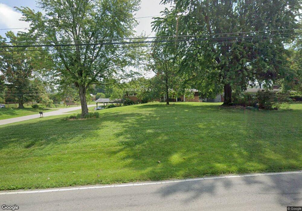
9930 McCauly Rd Cincinnati, OH 45241
West Chester Township NeighborhoodEstimated Value: $268,000 - $354,000
3
Beds
2
Baths
1,586
Sq Ft
$202/Sq Ft
Est. Value
About This Home
This home is located at 9930 McCauly Rd, Cincinnati, OH 45241 and is currently estimated at $319,932, approximately $201 per square foot. 9930 McCauly Rd is a home located in Butler County with nearby schools including Stewart Elementary School, Princeton Community Middle School, and Princeton High School.
Ownership History
Date
Name
Owned For
Owner Type
Purchase Details
Closed on
May 30, 2023
Sold by
Nichols Joan P
Bought by
Joan P Nichols Revocable Trust
Current Estimated Value
Purchase Details
Closed on
Oct 19, 2021
Sold by
Perrero Donald E and George A Perrero Trust
Bought by
Nichols Joan P
Home Financials for this Owner
Home Financials are based on the most recent Mortgage that was taken out on this home.
Original Mortgage
$180,000
Interest Rate
3.09%
Mortgage Type
New Conventional
Create a Home Valuation Report for This Property
The Home Valuation Report is an in-depth analysis detailing your home's value as well as a comparison with similar homes in the area
Home Values in the Area
Average Home Value in this Area
Purchase History
| Date | Buyer | Sale Price | Title Company |
|---|---|---|---|
| Joan P Nichols Revocable Trust | -- | None Listed On Document | |
| Joan P Nichols Revocable Trust | -- | None Listed On Document | |
| Nichols Joan P | $240,000 | Prodigy Title Agency |
Source: Public Records
Mortgage History
| Date | Status | Borrower | Loan Amount |
|---|---|---|---|
| Previous Owner | Nichols Joan P | $180,000 |
Source: Public Records
Tax History
| Year | Tax Paid | Tax Assessment Tax Assessment Total Assessment is a certain percentage of the fair market value that is determined by local assessors to be the total taxable value of land and additions on the property. | Land | Improvement |
|---|---|---|---|---|
| 2025 | $2,828 | $82,080 | $17,530 | $64,550 |
| 2024 | $2,828 | $82,080 | $17,530 | $64,550 |
| 2023 | $2,801 | $81,940 | $17,530 | $64,410 |
| 2022 | $2,707 | $63,730 | $17,530 | $46,200 |
| 2021 | $2,232 | $63,730 | $17,530 | $46,200 |
| 2020 | $2,336 | $63,730 | $17,530 | $46,200 |
| 2019 | $4,195 | $53,410 | $18,850 | $34,560 |
| 2018 | $1,930 | $53,410 | $18,850 | $34,560 |
| 2017 | $1,953 | $53,410 | $18,850 | $34,560 |
| 2016 | $1,877 | $50,460 | $18,850 | $31,610 |
| 2015 | $1,856 | $50,460 | $18,850 | $31,610 |
| 2014 | $1,717 | $50,460 | $18,850 | $31,610 |
| 2013 | $1,717 | $48,160 | $13,110 | $35,050 |
Source: Public Records
Map
Nearby Homes
- 8175 Sunburst Dr
- 9917 Shorewood Ln
- 7815 Bennington Dr
- 9548 Butler Warren Rd
- 9621 Iris Dr
- 9720 Cedar Knoll Dr
- 9509 Butler Warren Rd
- 9665 New Castle Ct
- 9511 Butler Warren Rd
- 12152 3rd Ave
- 8830 Butler Warren Rd
- 8820 Butler Warren Rd
- 9582 Opal Ln
- 6526 Hawk Ct
- 7812 Cincinnati Ave
- 12152 7th Ave
- 9933 Hampstead Ct
- 11928 2nd Ave
- 9296 Hare Dr
- 11990 Thames Place
- 9940 McCauly Rd
- 9910 McCauly Rd
- 8133 Moubray Dr
- 9948 McCauly Rd
- 8132 Moubray Dr
- 9898 McCauly Rd
- 8143 Moubray Dr
- 8194 Chestershire Dr
- 8144 Moubray Dr
- 9958 McCauly Rd
- Lot 154 Bennington Dr
- 8039 Bennington Dr
- 8193 Chestershire Dr
- 8155 Moubray Dr
- 8156 Moubray Dr
- 8109 Lois Dr
- 8130 Maywood Dr
- 8049 Bennington Dr
- 8120 Maywood Dr
- 8127 Lois Dr
Your Personal Tour Guide
Ask me questions while you tour the home.